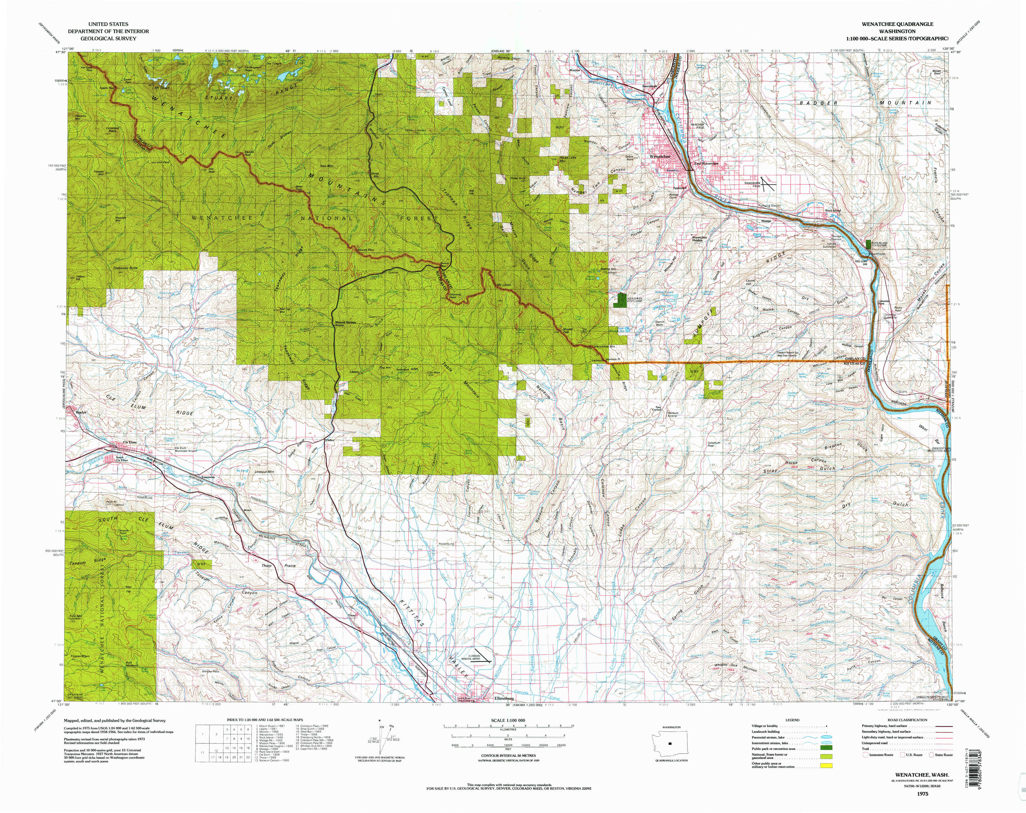
Wenatchee Topo Map Washington
To zoom in, hover over the map of Wenatchee
USGS Topo Map 47120a1 - 1:100,000 scale
| Topo Map Name: | Wenatchee |
| USGS Topo Quad ID: | 47120a1 |
| Print Size: | ca. 39" wide x 24" high |
| Southeast Coordinates: | 47° N latitude / 120° W longitude |
| Map Center Coordinates: | 47.25° N latitude / 120.5° W longitude |
| U.S. State: | WA |
| Filename: | 47120a1.jpg |
| Download Map JPG Image: | Wenatchee topo map 1:100,000 scale |
| Map Type: | Topographic |
| Topo Series: | 30´x60´ |
| Map Scale: | 1:100,000 |
| Source of Map Images: | United States Geological Survey (USGS) |
| Alternate Map Versions: |
Wenatchee WA 1975, updated 1977 Download PDF Buy paper map |
1:100,000 Topos surrounding Wenatchee
Skykomish River |
Chelan |
Banks Lake |
Snoqualmie Pass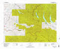 |
Wenatchee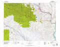 |
Moses Lake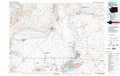 |
Mount Rainier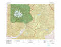 |
Yakima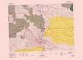 |
Priest Rapids |
> Back to 47120a1 at 1:250,000 scale
> Back to U.S. Topo Maps home
1:24,000 Topo Quads covered by the spatial extent of this 100k map (Wenatchee)
|
Mount Stuart 
|
Enchantment Lakes 
|
Blewett 
|
Tiptop 
|
Monitor 
|
Wenatchee 
|
Rock Island 
|
Malaga Ne 
|
|
Teanaway Butte 
|
Red Top Mountain 
|
Liberty 
|
Swauk Pass 
|
Mission Peak 
|
Wenatchee Heights 
|
Malaga 
|
Rock Island Dam 
|
|
Cle Elum 
|
Teanaway 
|
Swauk Prairie 
|
Reecer Canyon 
|
Naneum Canyon 
|
Colockum Pass 
|
Stray Gulch 
|
West Bar 
|
|
Frost Mountain 
|
Taneum Canyon 
|
Thorp 
|
Ellensburg North 
|
Colockum Pass Sw 
|
Colockum Pass Se 
|
Whiskey Dick Mountain 
|
Cape Horn Se 
|