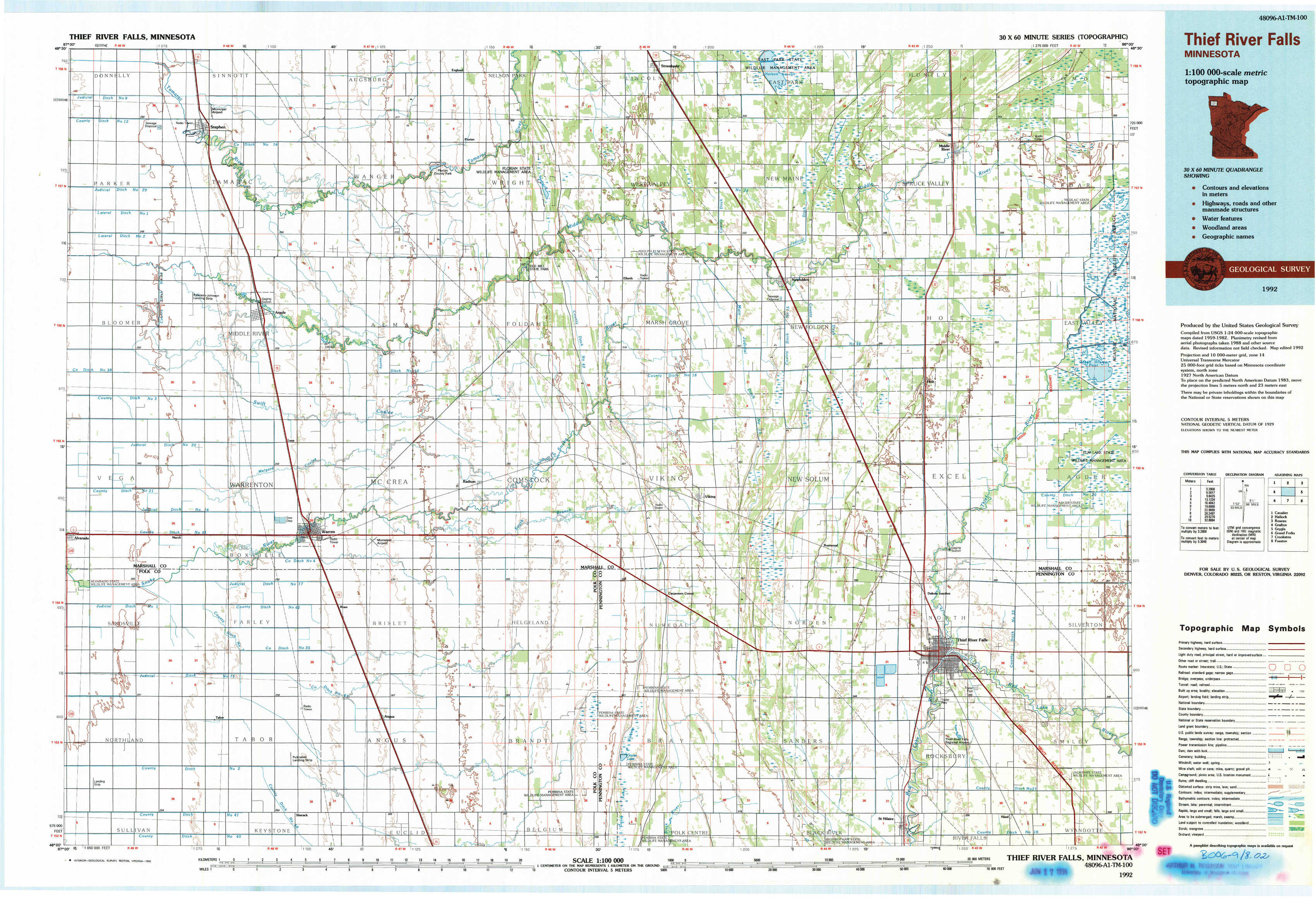
Thief River Falls Topo Map Minnesota
To zoom in, hover over the map of Thief River Falls
USGS Topo Map 48096a1 - 1:100,000 scale
| Topo Map Name: | Thief River Falls |
| USGS Topo Quad ID: | 48096a1 |
| Print Size: | ca. 39" wide x 24" high |
| Southeast Coordinates: | 48° N latitude / 96° W longitude |
| Map Center Coordinates: | 48.25° N latitude / 96.5° W longitude |
| U.S. State: | MN |
| Filename: | 48096a1.jpg |
| Download Map JPG Image: | Thief River Falls topo map 1:100,000 scale |
| Map Type: | Topographic |
| Topo Series: | 30´x60´ |
| Map Scale: | 1:100,000 |
| Source of Map Images: | United States Geological Survey (USGS) |
| Alternate Map Versions: |
Thief River Falls MN 1985, updated 1985 Download PDF Buy paper map Thief River Falls MN 1992, updated 1992 Download PDF Buy paper map |
1:100,000 Topos surrounding Thief River Falls
Cavalier |
Hallock |
Roseau |
Grafton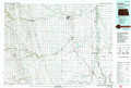 |
Thief River Falls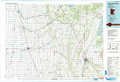 |
Grygla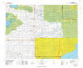 |
Grand Forks |
Crookston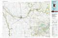 |
Fosston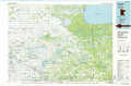 |
> Back to 48096a1 at 1:250,000 scale
> Back to U.S. Topo Maps home
1:24,000 Topo Quads covered by the spatial extent of this 100k map (Thief River Falls)
|
Stephen West 
|
Stephen East 
|
Florian 
|
Florian Ne 
|
Strandquist 
|
Nelson Slough 
|
Middle River 
|
Middle River Ne 
|
|
Stephen Sw 
|
Argyle 
|
Florian Sw 
|
Florian Se 
|
Ellerth 
|
Newfolden 
|
Holt 
|
Middle River Se 
|
|
Alvarado 
|
Warren 
|
Roan 
|
Radium 
|
Viking 
|
Rosewood 
|
Thief River Falls Nw 
|
Thief River Falls Ne 
|
|
Warren Sw 
|
Tabor 
|
Angus 
|
Angus Se 
|
Viking Sw 
|
Viking Se 
|
Thief River Falls 
|
Hazel 
|