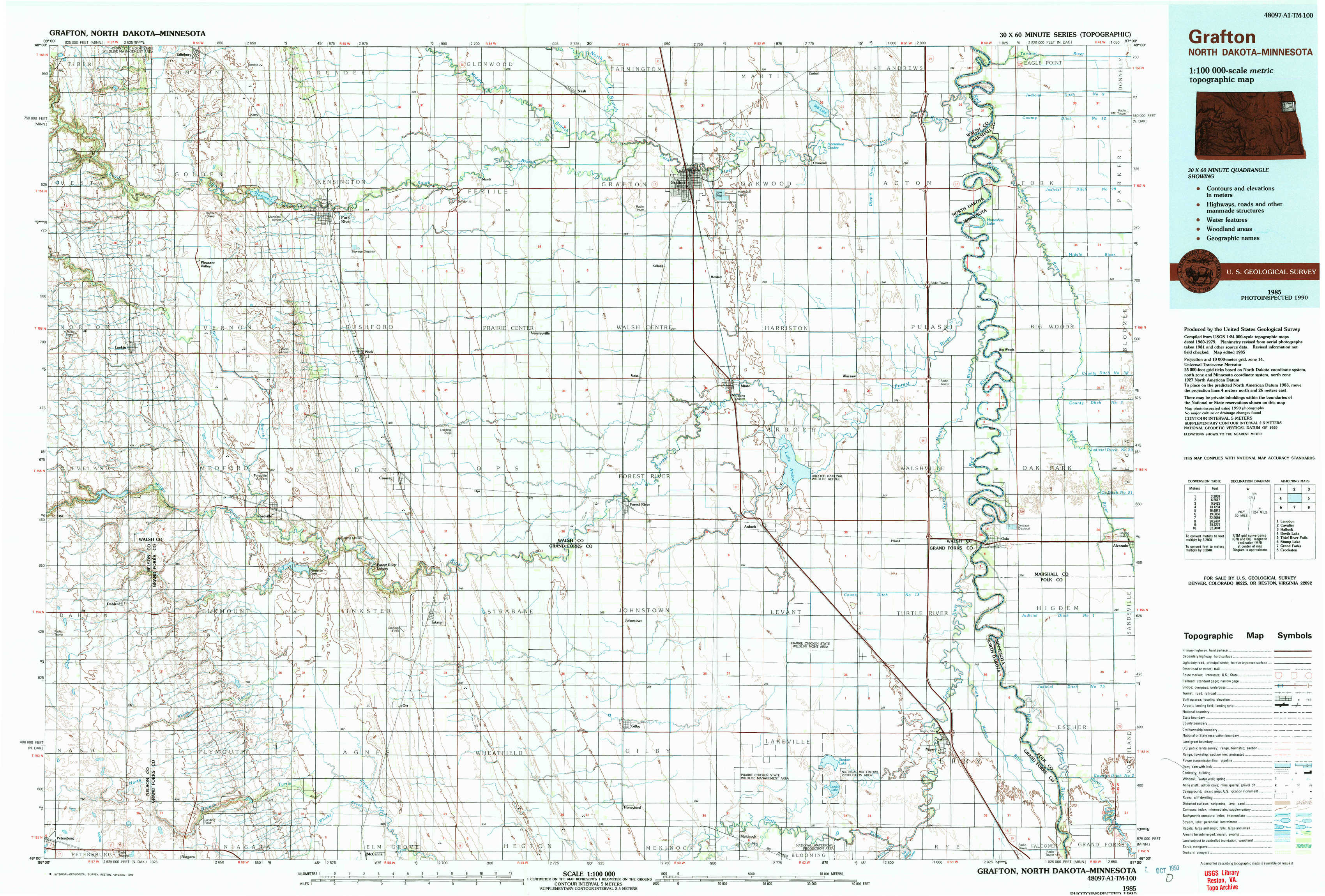
Grafton Topo Map North Dakota
To zoom in, hover over the map of Grafton
USGS Topo Map 48097a1 - 1:100,000 scale
| Topo Map Name: | Grafton |
| USGS Topo Quad ID: | 48097a1 |
| Print Size: | ca. 39" wide x 24" high |
| Southeast Coordinates: | 48° N latitude / 97° W longitude |
| Map Center Coordinates: | 48.25° N latitude / 97.5° W longitude |
| U.S. States: | ND, MN |
| Filename: | 48097a1.jpg |
| Download Map JPG Image: | Grafton topo map 1:100,000 scale |
| Map Type: | Topographic |
| Topo Series: | 30´x60´ |
| Map Scale: | 1:100,000 |
| Source of Map Images: | United States Geological Survey (USGS) |
| Alternate Map Versions: |
Grafton ND 1985, updated 1985 Download PDF Buy paper map Grafton ND 1985, updated 1993 Download PDF Buy paper map |
1:100,000 Topos surrounding Grafton
Langdon |
Cavalier |
Hallock |
Devils Lake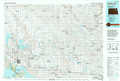 |
Grafton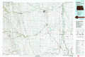 |
Thief River Falls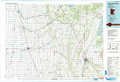 |
Stump Lake |
Grand Forks |
Crookston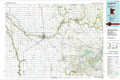 |
> Back to 48096a1 at 1:250,000 scale
> Back to U.S. Topo Maps home
1:24,000 Topo Quads covered by the spatial extent of this 100k map (Grafton)
|
Edinburg Nw 
|
Edinburg 
|
Park River 
|
Nash 
|
Grafton 
|
Oakwood 
|
Big Woods Nw 
|
Big Woods Ne 
|
|
Lankin 
|
Pleasant Valley 
|
Pisek 
|
Veseleyville 
|
Voss 
|
Minto 
|
Big Woods Sw 
|
Big Woods 
|
|
Dahlen 
|
Fordville 
|
Inkster 
|
Inkster Ne 
|
Forest River 
|
Ardoch 
|
Oslo 
|
Oslo Ne 
|
|
Fordville Sw 
|
Fordville Se 
|
Orr 
|
Inkster Se 
|
Gilby 
|
Mekinock 
|
Manvel 
|
Oslo Se 
|