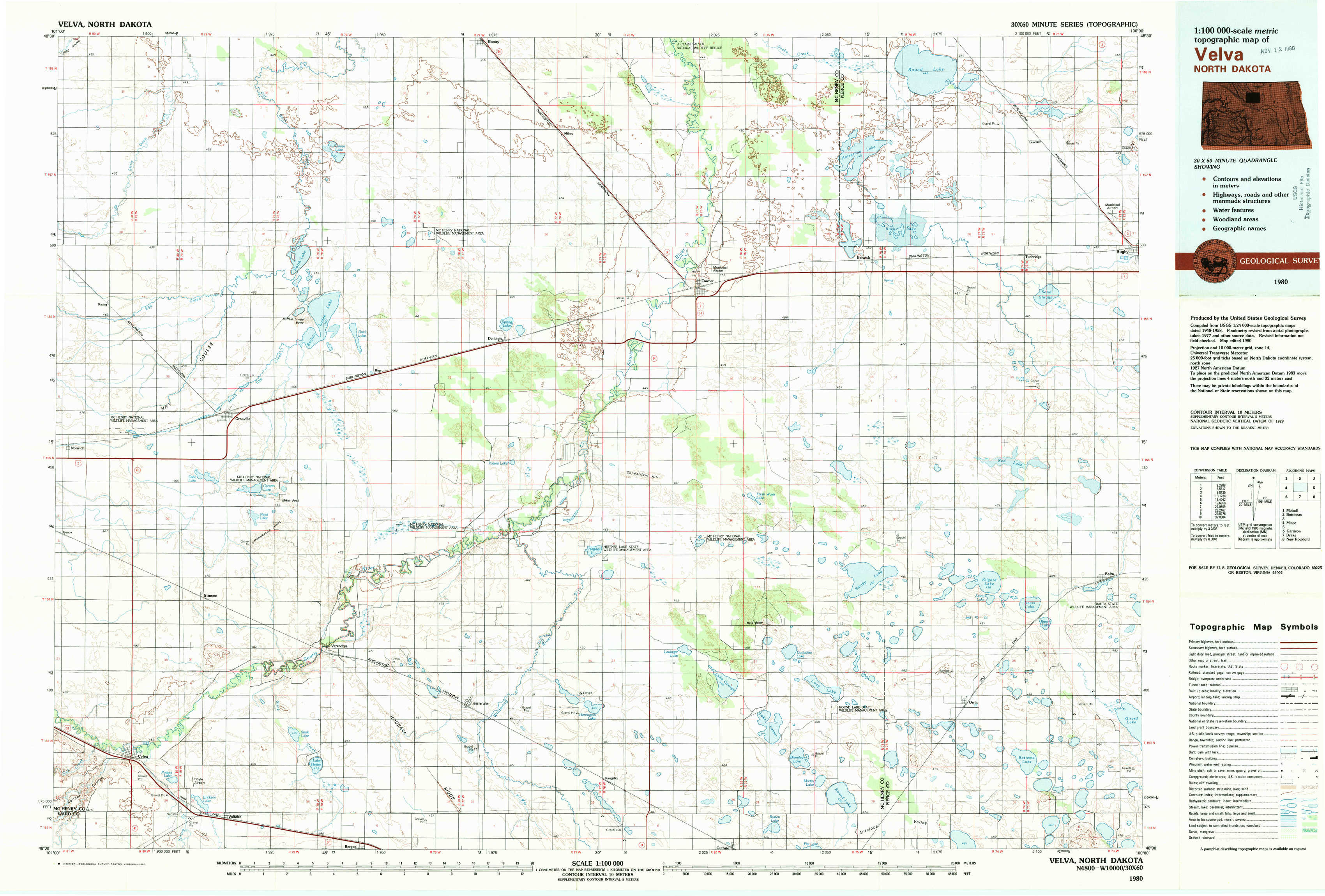
Velva Topo Map North Dakota
To zoom in, hover over the map of Velva
USGS Topo Map 48100a1 - 1:100,000 scale
| Topo Map Name: | Velva |
| USGS Topo Quad ID: | 48100a1 |
| Print Size: | ca. 39" wide x 24" high |
| Southeast Coordinates: | 48° N latitude / 100° W longitude |
| Map Center Coordinates: | 48.25° N latitude / 100.5° W longitude |
| U.S. State: | ND |
| Filename: | 48100a1.jpg |
| Download Map JPG Image: | Velva topo map 1:100,000 scale |
| Map Type: | Topographic |
| Topo Series: | 30´x60´ |
| Map Scale: | 1:100,000 |
| Source of Map Images: | United States Geological Survey (USGS) |
| Alternate Map Versions: |
Velva ND 1980, updated 1980 Download PDF Buy paper map |
1:100,000 Topos surrounding Velva
Mohall |
Bottineau |
Rock Lake |
Minot |
Velva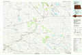 |
Leeds |
Garrison |
Drake |
New Rockford |
> Back to 48100a1 at 1:250,000 scale
> Back to U.S. Topo Maps home
1:24,000 Topo Quads covered by the spatial extent of this 100k map (Velva)
|
Granville Nw 
|
Granville Ne 
|
Bantry Nw 
|
Bantry 
|
Towner Nw 
|
Towner Ne 
|
Round Lake 
|
Leverich 
|
|
Granville Sw 
|
Granville 
|
Riga 
|
Denbigh 
|
Towner 
|
Towner Se 
|
Berwick 
|
Tunbridge 
|
|
Norwich 
|
Simcoe 
|
Karlsruhe Nw 
|
Karlsruhe Ne 
|
Rangeley Nw 
|
Rangeley Ne 
|
Balta Nw 
|
Balta 
|
|
Velva 
|
Voltaire 
|
Bergen 
|
Karlsruhe 
|
Rangeley 
|
Rangeley Se 
|
Orrin 
|
Balta Se 
|