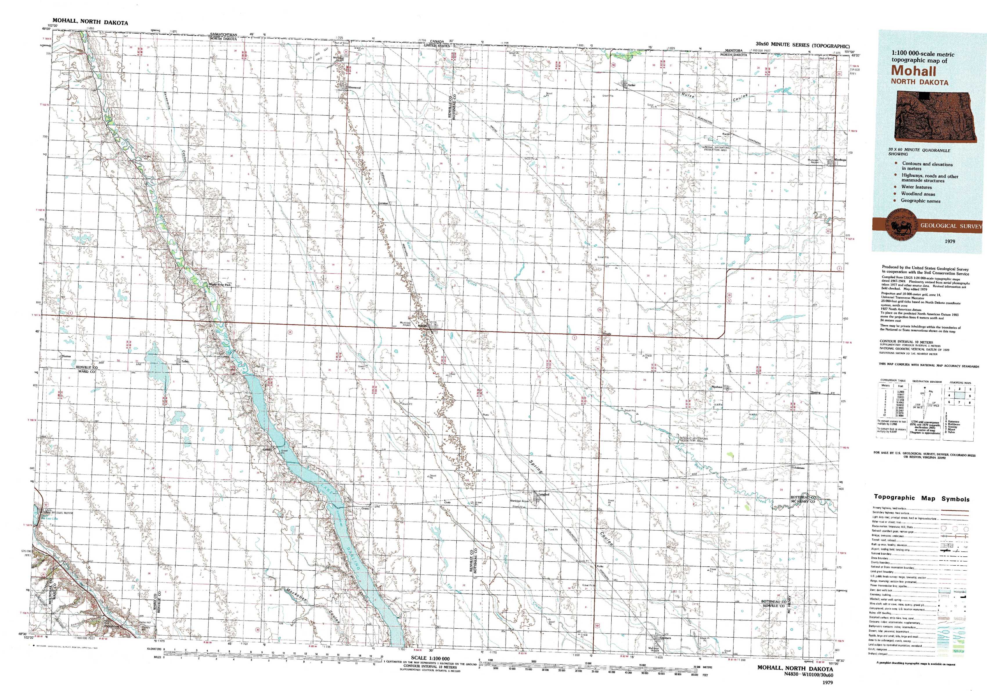
Mohall Topo Map North Dakota
To zoom in, hover over the map of Mohall
USGS Topo Map 48101e1 - 1:100,000 scale
| Topo Map Name: | Mohall |
| USGS Topo Quad ID: | 48101e1 |
| Print Size: | ca. 39" wide x 24" high |
| Southeast Coordinates: | 48.5° N latitude / 101° W longitude |
| Map Center Coordinates: | 48.75° N latitude / 101.5° W longitude |
| U.S. State: | ND |
| Filename: | 48101e1.jpg |
| Download Map JPG Image: | Mohall topo map 1:100,000 scale |
| Map Type: | Topographic |
| Topo Series: | 30´x60´ |
| Map Scale: | 1:100,000 |
| Source of Map Images: | United States Geological Survey (USGS) |
| Alternate Map Versions: | none available in database |
1:100,000 Topos surrounding Mohall
Kenmare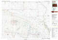 |
Mohall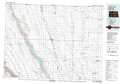 |
Bottineau |
Stanley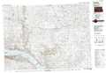 |
Minot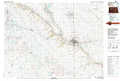 |
Velva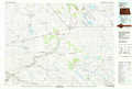 |
> Back to 48100a1 at 1:250,000 scale
> Back to U.S. Topo Maps home
1:24,000 Topo Quads covered by the spatial extent of this 100k map (Mohall)
|
Mouse River Park Nw 
|
Mouse River Park Ne 
|
Sherwood 
|
Mohall Ne 
|
Antler Nw 
|
Antler 
|
Kuroki 
|
Westhope 
|
|
Mouse River Park Sw 
|
Mouse River Park 
|
Mohall Sw 
|
Mohall 
|
Antler Sw 
|
Renville 
|
Westhope Sw 
|
Westhope Se 
|
|
Norma 
|
Tolley 
|
Greene 
|
Grano Ne 
|
Lansford Nw 
|
Lansford Ne 
|
Maxbass 
|
Eckman 
|
|
Donnybrook 
|
Tolley Se 
|
Grano Sw 
|
Grano 
|
Lansford Sw 
|
Lansford Se 
|
Glenburn 
|
Eckman Se 
|