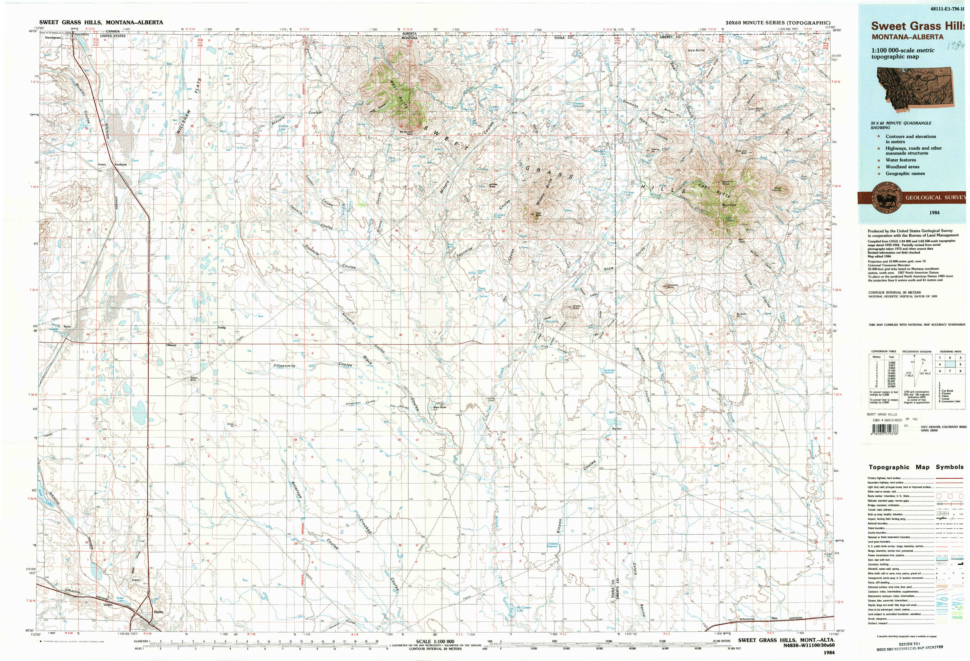
Sweet Grass Hills Topo Map Montana
To zoom in, hover over the map of Sweet Grass Hills
USGS Topo Map 48111e1 - 1:100,000 scale
| Topo Map Name: | Sweet Grass Hills |
| USGS Topo Quad ID: | 48111e1 |
| Print Size: | ca. 39" wide x 24" high |
| Southeast Coordinates: | 48.5° N latitude / 111° W longitude |
| Map Center Coordinates: | 48.75° N latitude / 111.5° W longitude |
| U.S. State: | MT |
| Filename: | 48111e1.jpg |
| Download Map JPG Image: | Sweet Grass Hills topo map 1:100,000 scale |
| Map Type: | Topographic |
| Topo Series: | 30´x60´ |
| Map Scale: | 1:100,000 |
| Source of Map Images: | United States Geological Survey (USGS) |
| Alternate Map Versions: |
Sweet Grass Hills MT 1984, updated 1984 Download PDF Buy paper map |
1:100,000 Topos surrounding Sweet Grass Hills
Cut Bank |
Sweet Grass Hills |
Chester |
Valier |
Conrad |
Lonesome Lake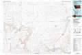 |
> Back to 48110a1 at 1:250,000 scale
> Back to U.S. Topo Maps home
1:24,000 Topo Quads covered by the spatial extent of this 100k map (Sweet Grass Hills)
|
Sunburst 
|
Willshaw Flats 
|
Beaupre Coulee 
|
West Butte 
|
Fey Lakes 
|
Whitlash 
|
Hawley Hill 
|
Bingham Lake 
|
|
Kevin North 
|
Ferdig 
|
Fivemile Coulee West 
|
Fivemile Coulee East 
|
Cameron Lake 
|
Grassy Butte 
|
Haystack Butte 
|
Mount Lebanon 
|
|
Kevin South 
|
Oilmont 
|
Antelope Coulee Nw 
|
Johannson Coulee 
|
Hawthorne School 
|
Berkholder Reservoir 
|
Blair Ranch 
|
Lakey Ranch 
|
|
Virden 
|
Shelby 
|
Antelope Coulee Sw 
|
Antelope Coulee Se 
|
Mccarters Lake 
|
Mccarters Lake Se 
|
North Lothair School 
|
Tiber 
|