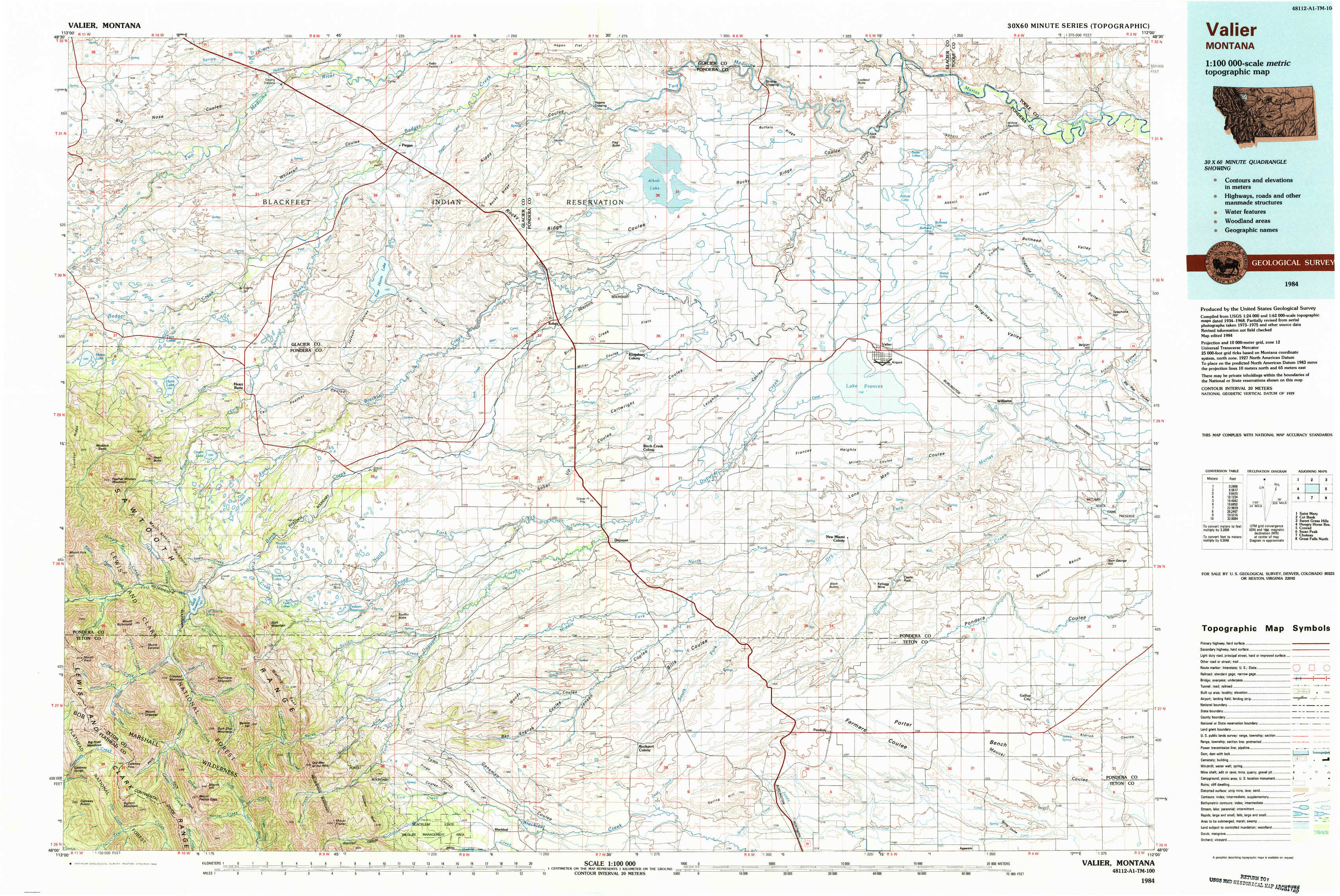
Valier Topo Map Montana
To zoom in, hover over the map of Valier
USGS Topo Map 48112a1 - 1:100,000 scale
| Topo Map Name: | Valier |
| USGS Topo Quad ID: | 48112a1 |
| Print Size: | ca. 39" wide x 24" high |
| Southeast Coordinates: | 48° N latitude / 112° W longitude |
| Map Center Coordinates: | 48.25° N latitude / 112.5° W longitude |
| U.S. State: | MT |
| Filename: | 48112a1.jpg |
| Download Map JPG Image: | Valier topo map 1:100,000 scale |
| Map Type: | Topographic |
| Topo Series: | 30´x60´ |
| Map Scale: | 1:100,000 |
| Source of Map Images: | United States Geological Survey (USGS) |
| Alternate Map Versions: |
Valier MT 1984, updated 1984 Download PDF Buy paper map |
1:100,000 Topos surrounding Valier
Saint Mary |
Cut Bank |
Sweet Grass Hills |
Hungry Horse Reservoir |
Valier |
Conrad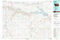 |
Swan Peak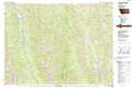 |
Choteau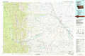 |
Great Falls North |
> Back to 48112a1 at 1:250,000 scale
> Back to U.S. Topo Maps home
1:24,000 Topo Quads covered by the spatial extent of this 100k map (Valier)
|
Magee Ranch 
|
White Man Coulee 
|
Piegan 
|
Rocky Ridge 
|
Flag Butte 
|
Rock City 
|
Abbott Lake 
|
Cactus Flat 
|
|
Mitten Lake 
|
Heart Butte 
|
Four Horns Lake 
|
Robere 
|
Kuka Crossing 
|
Valier West 
|
Valier East 
|
Belgian Hill 
|
|
Swift Reservoir 
|
Fish Lake 
|
Scoffin Butte 
|
Dupuyer West 
|
Dupuyer East 
|
Lone Man Coulee West 
|
Lone Man Coulee East 
|
Sam George Hill 
|
|
Gateway Pass 
|
Walling Reef 
|
Volcano Reef 
|
Blackleaf 
|
Soap Creek 
|
Pendroy 
|
Agawam North 
|
Gallup City 
|