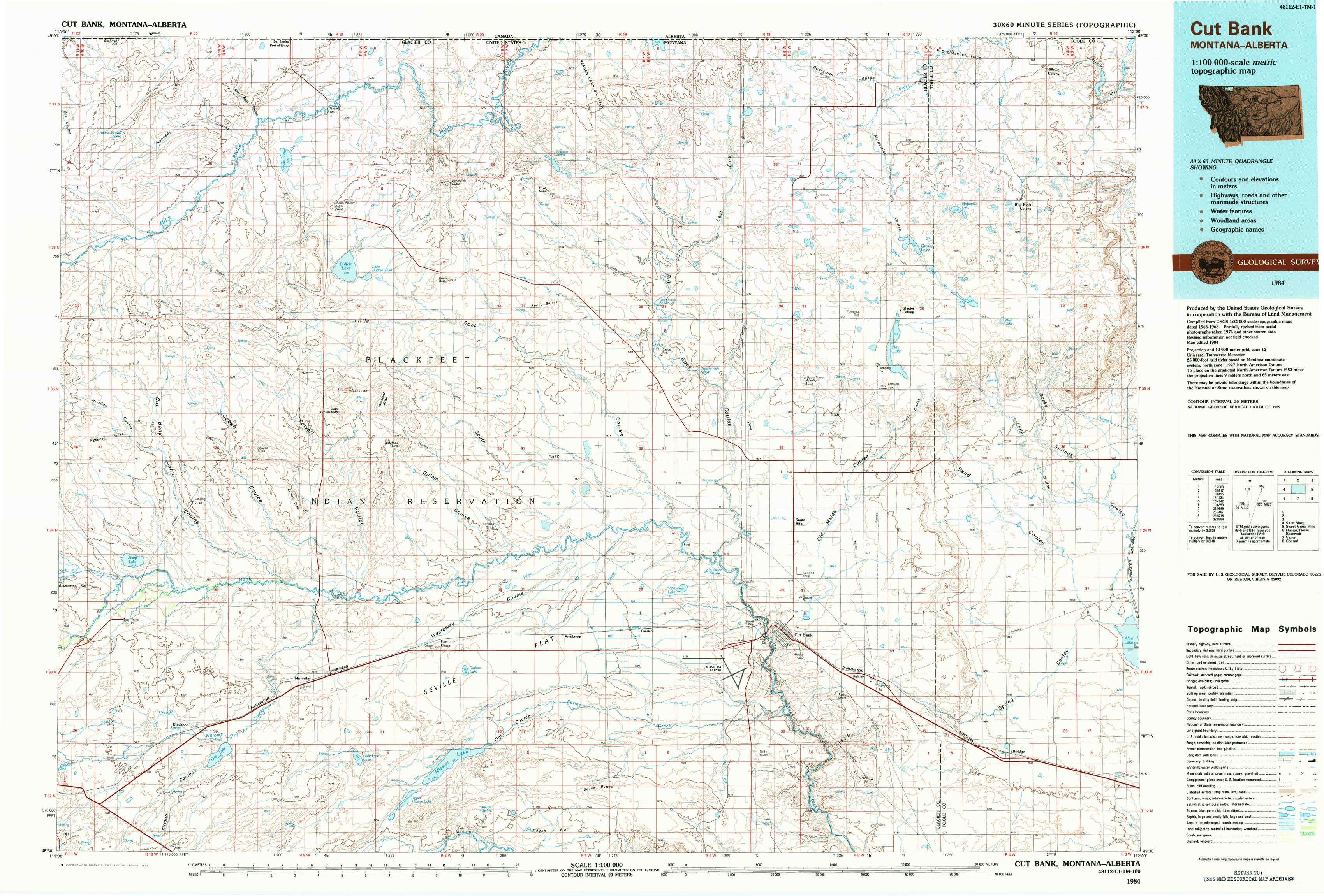
Cut Bank Topo Map Montana
To zoom in, hover over the map of Cut Bank
USGS Topo Map 48112e1 - 1:100,000 scale
| Topo Map Name: | Cut Bank |
| USGS Topo Quad ID: | 48112e1 |
| Print Size: | ca. 39" wide x 24" high |
| Southeast Coordinates: | 48.5° N latitude / 112° W longitude |
| Map Center Coordinates: | 48.75° N latitude / 112.5° W longitude |
| U.S. State: | MT |
| Filename: | 48112e1.jpg |
| Download Map JPG Image: | Cut Bank topo map 1:100,000 scale |
| Map Type: | Topographic |
| Topo Series: | 30´x60´ |
| Map Scale: | 1:100,000 |
| Source of Map Images: | United States Geological Survey (USGS) |
| Alternate Map Versions: |
Cut Bank MT 1984, updated 1984 Download PDF Buy paper map |
1:100,000 Topos surrounding Cut Bank
Saint Mary |
Cut Bank |
Sweet Grass Hills |
Hungry Horse Reservoir |
Valier |
Conrad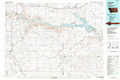 |
> Back to 48112a1 at 1:250,000 scale
> Back to U.S. Topo Maps home
1:24,000 Topo Quads covered by the spatial extent of this 100k map (Cut Bank)
|
Bushnell Hill 
|
Del Bonita 
|
Landslide Butte 
|
Love Rock 
|
Headlight Butte Nw 
|
Headlight Butte Ne 
|
Fitzpatrick Lake 
|
Hillside Colony 
|
|
Nightshoot Coulee 
|
Rimrock Ranch 
|
Buffalo Lake 
|
Rocky Buttes 
|
Dead Indian Spring 
|
Headlight Butte 
|
Glacier Colony 
|
Mountain View School 
|
|
Sharp Lake 
|
Rimrock Butte 
|
Fort Piegan 
|
Sundance 
|
Gunsight 
|
Cut Bank 
|
Ethridge Nw 
|
Aloe 
|
|
Blackfoot 
|
Kipp Lake 
|
Mission Lake West 
|
Mission Lake East 
|
Squaw Buttes 
|
Cut Bank Se 
|
Boru Spring 
|
Ethridge 
|