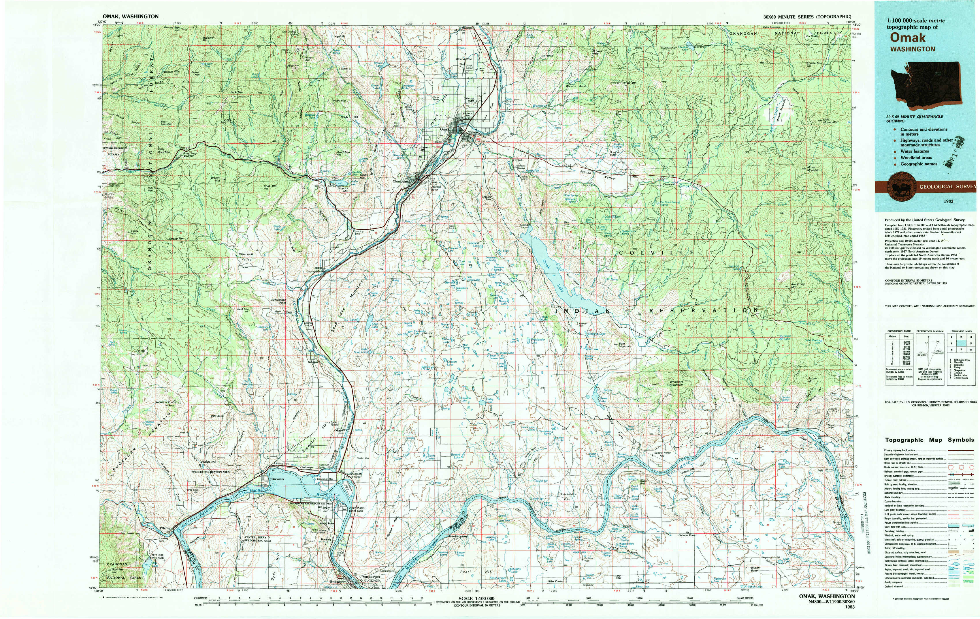
Omak Topo Map Washington
To zoom in, hover over the map of Omak
USGS Topo Map 48119a1 - 1:100,000 scale
| Topo Map Name: | Omak |
| USGS Topo Quad ID: | 48119a1 |
| Print Size: | ca. 39" wide x 24" high |
| Southeast Coordinates: | 48° N latitude / 119° W longitude |
| Map Center Coordinates: | 48.25° N latitude / 119.5° W longitude |
| U.S. State: | WA |
| Filename: | 48119a1.jpg |
| Download Map JPG Image: | Omak topo map 1:100,000 scale |
| Map Type: | Topographic |
| Topo Series: | 30´x60´ |
| Map Scale: | 1:100,000 |
| Source of Map Images: | United States Geological Survey (USGS) |
| Alternate Map Versions: |
Omak WA 1983, updated 1983 Download PDF Buy paper map Omak WA 1983, updated 1983 Download PDF Buy paper map |
1:100,000 Topos surrounding Omak
Robinson Mountain |
Oroville |
Republic |
Twisp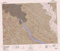 |
Omak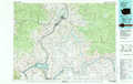 |
Nespelem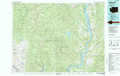 |
Chelan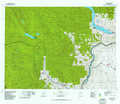 |
Banks Lake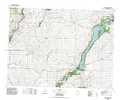 |
Coulee Dam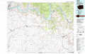 |
> Back to 48118a1 at 1:250,000 scale
> Back to U.S. Topo Maps home
1:24,000 Topo Quads covered by the spatial extent of this 100k map (Omak)
|
Loup Loup Summit 
|
Buck Mountain 
|
Ruby Hill 
|
Omak 
|
The Pothole 
|
Omak Mountain 
|
Crawfish Lake 
|
Moses Meadows 
|
|
Thrapp Mountain 
|
Chiliwist Valley 
|
Malott 
|
Okanogan 
|
Omak Lake 
|
Camp Seven 
|
Disautel 
|
Moses Mountain 
|
|
Knowton Knob 
|
Rat Lake 
|
Monse 
|
White Lakes 
|
Joe Lake 
|
Boot Mountain 
|
Hopkins Canyon 
|
Armstrong Creek 
|
|
Pateros 
|
Brewster 
|
Bridgeport 
|
Bridgeport Point 
|
Stubblefield Point 
|
Trefry Canyon 
|
Alameda Flat 
|
Sanderson Creek 
|