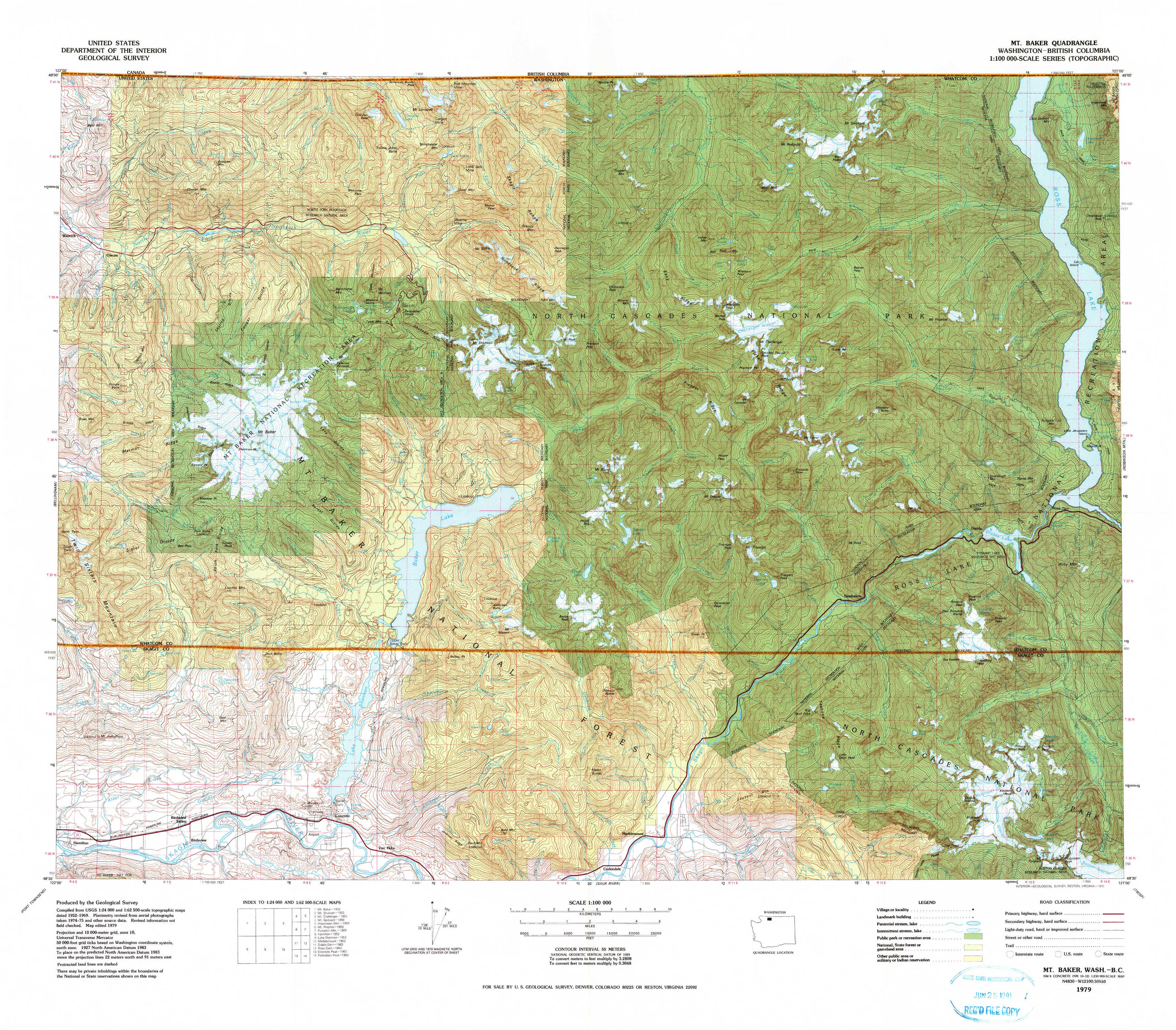
Mount Baker Topo Map Washington
To zoom in, hover over the map of Mount Baker
USGS Topo Map 48121e1 - 1:100,000 scale
| Topo Map Name: | Mount Baker |
| USGS Topo Quad ID: | 48121e1 |
| Print Size: | ca. 39" wide x 24" high |
| Southeast Coordinates: | 48.5° N latitude / 121° W longitude |
| Map Center Coordinates: | 48.75° N latitude / 121.5° W longitude |
| U.S. State: | WA |
| Filename: | 48121e1.jpg |
| Download Map JPG Image: | Mount Baker topo map 1:100,000 scale |
| Map Type: | Topographic |
| Topo Series: | 30´x60´ |
| Map Scale: | 1:100,000 |
| Source of Map Images: | United States Geological Survey (USGS) |
| Alternate Map Versions: |
Mt. Baker WA 1979, updated 1980 Download PDF Buy paper map |
1:100,000 Topos surrounding Mount Baker
Bellingham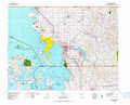 |
Mount Baker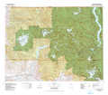 |
Robinson Mountain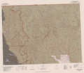 |
Port Townsend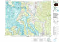 |
Sauk River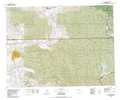 |
Twisp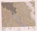 |
> Back to 48120a1 at 1:250,000 scale
> Back to U.S. Topo Maps home
1:24,000 Topo Quads covered by the spatial extent of this 100k map (Mount Baker)
|
Glacier 
|
Bearpaw Mountain 
|
Mount Larrabee 
|
Mount Sefrit 
|
Copper Mountain 
|
Mount Redoubt 
|
Mount Spickard 
|
Hozomeen Mountain 
|
|
Groat Mountain 
|
Mount Baker 
|
Shuksan Arm 
|
Mount Shuksan 
|
Mount Blum 
|
Mount Challenger 
|
Mount Prophet 
|
Pumpkin Mountain 
|
|
Twin Sisters Mountain 
|
Baker Pass 
|
Welker Peak 
|
Bacon Peak 
|
Damnation Peak 
|
Mount Triumph 
|
Diablo Dam 
|
Ross Dam 
|
|
Hamilton 
|
Grandy Lake 
|
Lake Shannon 
|
Sauk Mountain 
|
Marblemount 
|
Big Devil Peak 
|
Eldorado Peak 
|
Forbidden Peak 
|