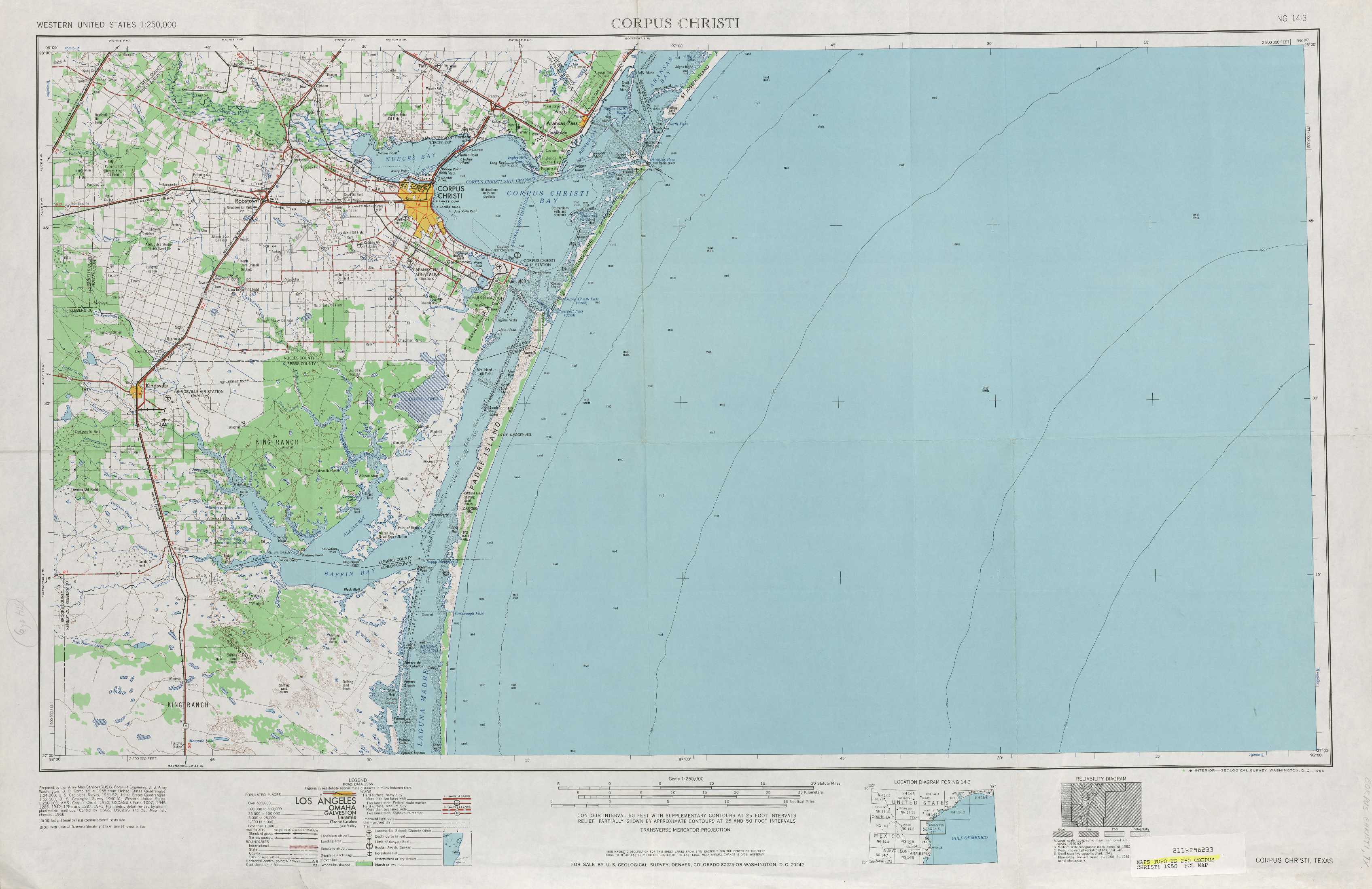
Corpus Christi Topo Map Texas
To zoom in, hover over the map of Corpus Christi
USGS Topo Map 27096a1 - 1:250,000 scale
| Topo Map Name: | Corpus Christi |
| USGS Topo Quad ID: | 27096a1 |
| Print Size: | ca. 32" wide x 22 1/2" high |
| Southeast Coordinates: | 27° N latitude / 96° W longitude |
| Map Center Coordinates: | 27.5° N latitude / 97° W longitude |
| U.S. State: | TX |
| Filename: | 27096a1.jpg |
| Download Map JPG Image: | Corpus Christi topo map 1:250,000 scale |
| Map Type: | Topographic |
| Topo Series: | 1°x2° |
| Map Scale: | 1:250,000 |
| Source of Map Images: | United States Geological Survey (USGS) |
| Alternate Map Versions: |
Corpus Christi TX 1950, updated 1953 Download PDF Buy paper map Corpus Christi TX 1956, updated 1956 Download PDF Buy paper map Corpus Christi TX 1960, updated 1960 Download PDF Buy paper map Corpus Christi TX 1966, updated 1966 Download PDF Buy paper map Corpus Christi TX 1989, updated 1991 Download PDF Buy paper map |
1:250,000 Topos surrounding Corpus Christi
Crystal City TX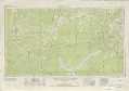 |
Beeville TX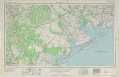 |
Bay City TX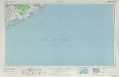 |
Laredo TX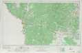 |
Corpus Christi TX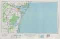 |
|
Mc Allen TX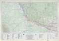 |
Port Isabel TX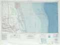 |
> Back to U.S. Topo Maps home
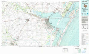
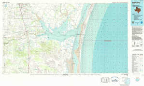
1:100,000 Topo Maps covered by the spatial extent of this 250k map (Corpus Christi)
Corpus Christi TX |
Allyns Bight TX |
Baffin Bay TX |