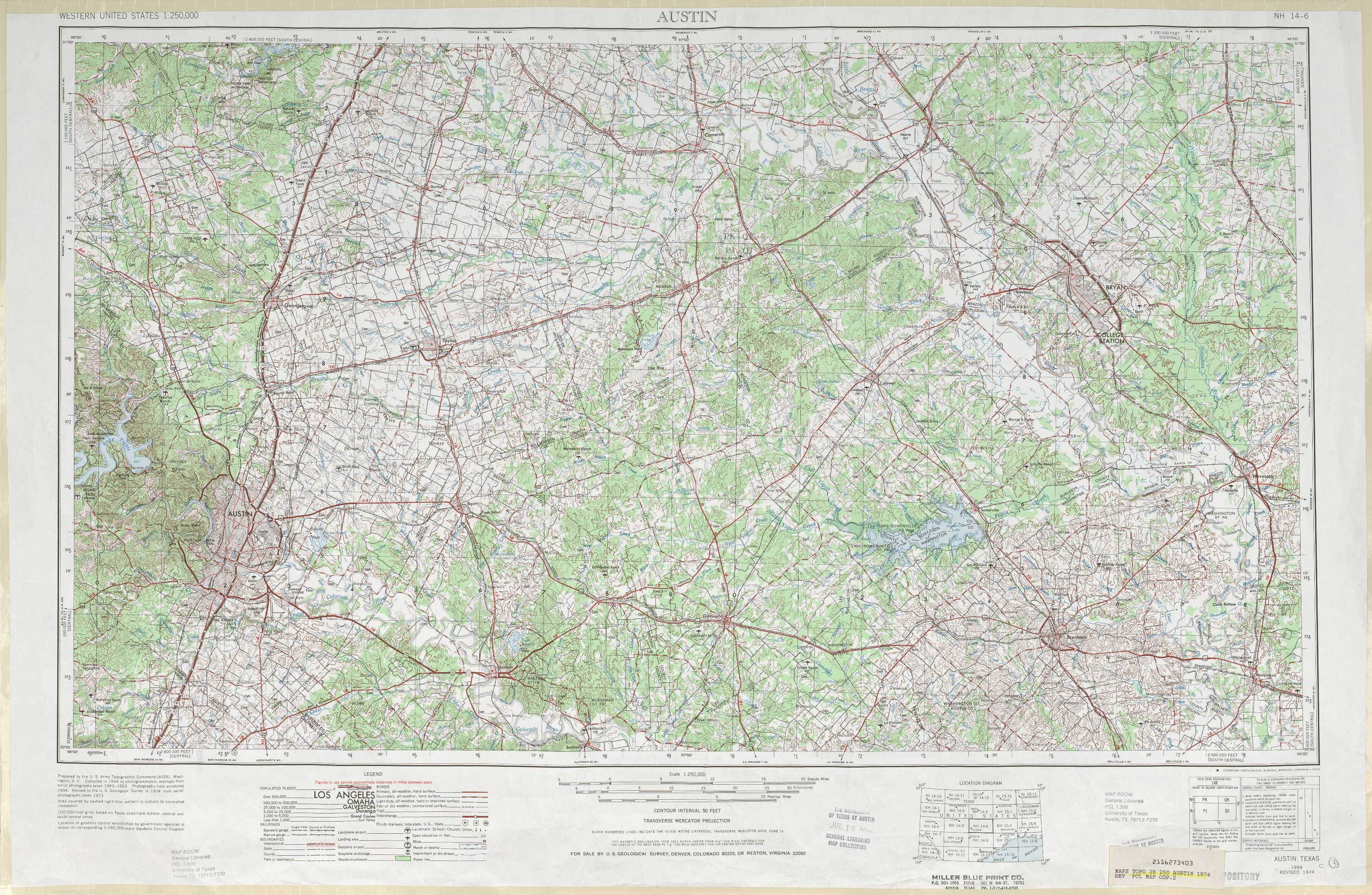
Austin Topo Map Texas
To zoom in, hover over the map of Austin
USGS Topo Map 30096a1 - 1:250,000 scale
| Topo Map Name: | Austin |
| USGS Topo Quad ID: | 30096a1 |
| Print Size: | ca. 32" wide x 22 1/2" high |
| Southeast Coordinates: | 30° N latitude / 96° W longitude |
| Map Center Coordinates: | 30.5° N latitude / 97° W longitude |
| U.S. State: | TX |
| Filename: | 30096a1.jpg |
| Download Map JPG Image: | Austin topo map 1:250,000 scale |
| Map Type: | Topographic |
| Topo Series: | 1°x2° |
| Map Scale: | 1:250,000 |
| Source of Map Images: | United States Geological Survey (USGS) |
| Alternate Map Versions: |
Austin TX 1954, updated 1964 Download PDF Buy paper map Austin TX 1954, updated 1976 Download PDF Buy paper map Austin TX 1954, updated 1976 Download PDF Buy paper map Austin TX 1954, updated 1988 Download PDF Buy paper map |
1:250,000 Topos surrounding Austin
Brownwood TX |
Waco TX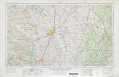 |
Palestine TX, LA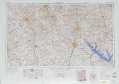 |
Llano TX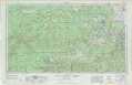 |
Austin TX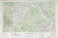 |
Beaumont TX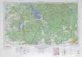 |
San Antonio TX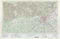 |
Seguin TX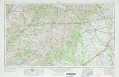 |
Houston TX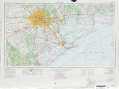 |
> Back to U.S. Topo Maps home
1:100,000 Topo Maps covered by the spatial extent of this 250k map (Austin)
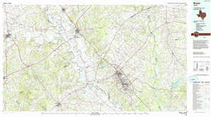
Taylor TX |
Bryan TX |
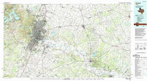
Austin TX |
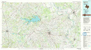
Brenham TX |