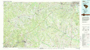
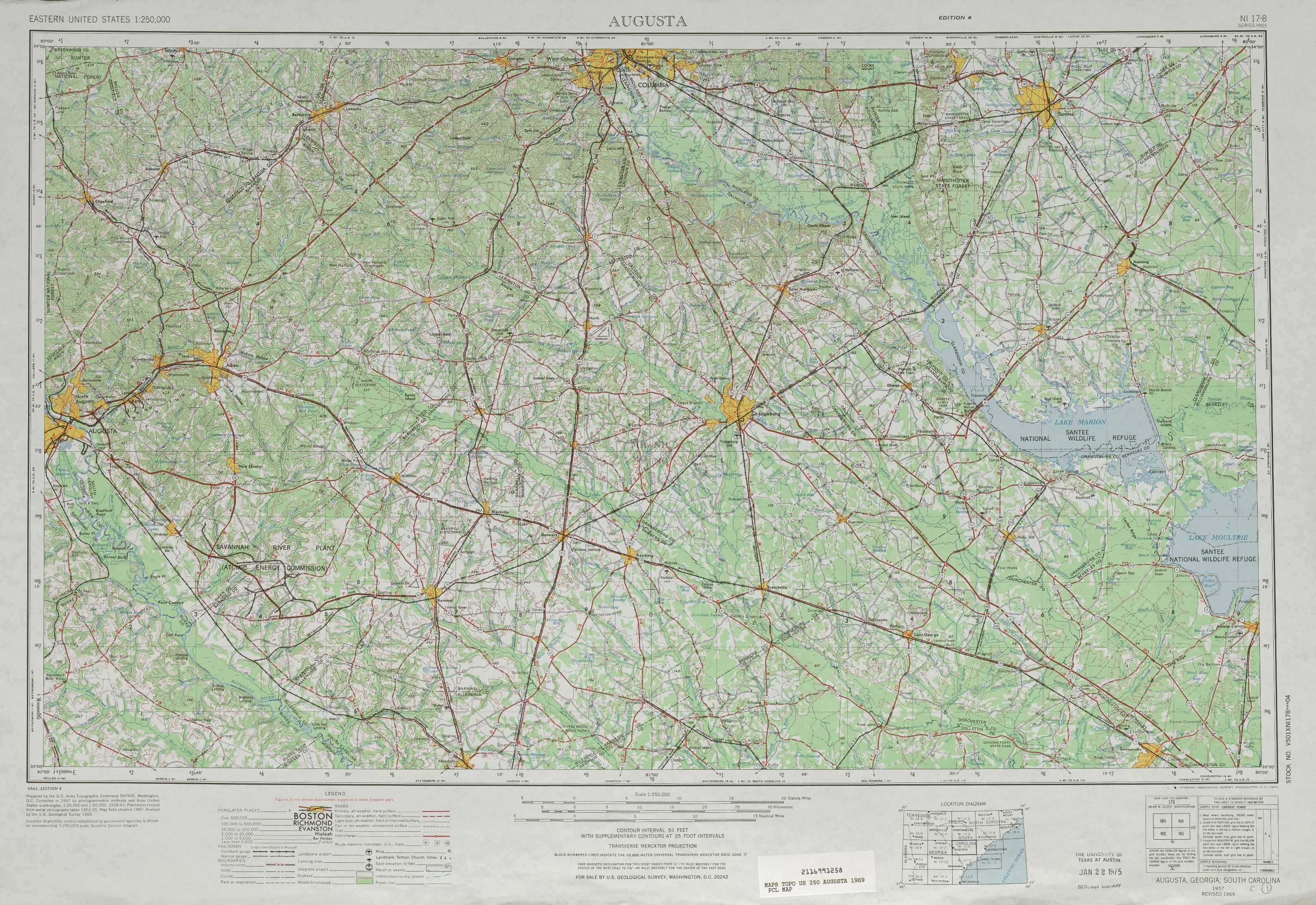
Augusta Topo Map South Carolina
To zoom in, hover over the map of Augusta
USGS Topo Map 33080a1 - 1:250,000 scale
| Topo Map Name: | Augusta |
| USGS Topo Quad ID: | 33080a1 |
| Print Size: | ca. 32" wide x 22 1/2" high |
| Southeast Coordinates: | 33° N latitude / 80° W longitude |
| Map Center Coordinates: | 33.5° N latitude / 81° W longitude |
| U.S. States: | SC, GA |
| Filename: | 33080a1.jpg |
| Download Map JPG Image: | Augusta topo map 1:250,000 scale |
| Map Type: | Topographic |
| Topo Series: | 1°x2° |
| Map Scale: | 1:250,000 |
| Source of Map Images: | United States Geological Survey (USGS) |
| Alternate Map Versions: |
Augusta GA 1954, updated 1954 Download PDF Buy paper map Augusta GA 1957, updated 1966 Download PDF Buy paper map Augusta GA 1957, updated 1973 Download PDF Buy paper map Augusta GA 1957, updated 1984 Download PDF Buy paper map Augusta GA 1961 Download PDF Buy paper map |
1:250,000 Topos surrounding Augusta
Greenville GA, SC |
Spartanburg SC, NC |
Florence NC, SC |
Athens GA, SC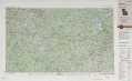 |
Augusta SC, GA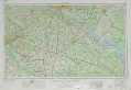 |
Georgetown SC, NC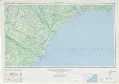 |
Macon GA |
Savannah SC, GA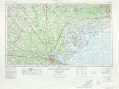 |
James Island SC |
> Back to U.S. Topo Maps home
1:100,000 Topo Maps covered by the spatial extent of this 250k map (Augusta)
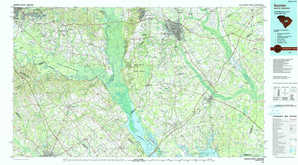
Aiken SC, GA |
Sumter SC |
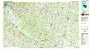
Barnwell SC, GA |
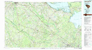
Saint George SC |