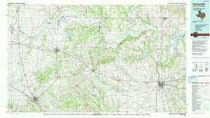
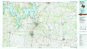
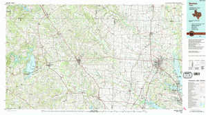
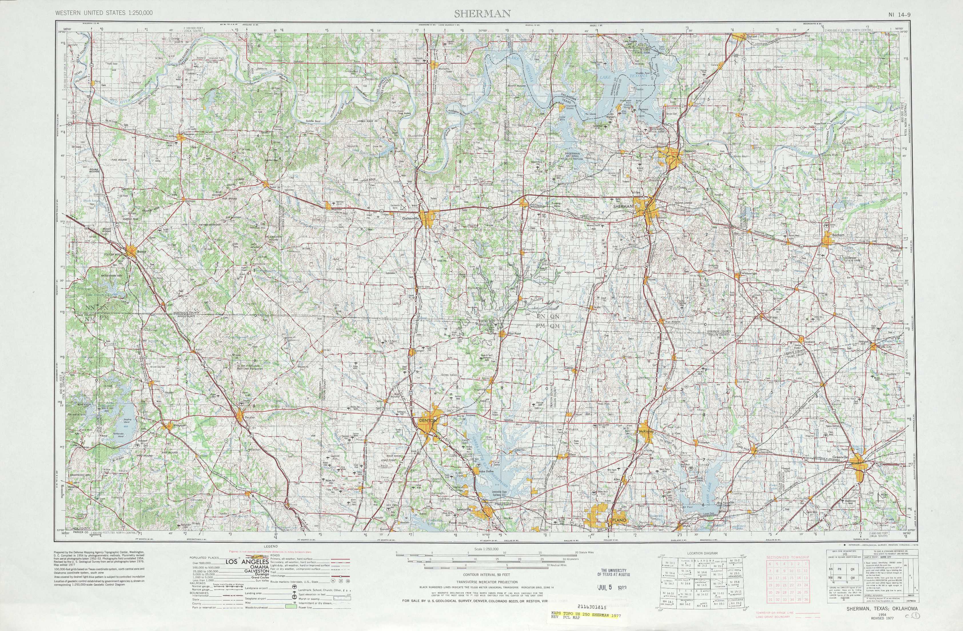
Sherman Topo Map Texas
To zoom in, hover over the map of Sherman
USGS Topo Map 33096a1 - 1:250,000 scale
| Topo Map Name: | Sherman |
| USGS Topo Quad ID: | 33096a1 |
| Print Size: | ca. 32" wide x 22 1/2" high |
| Southeast Coordinates: | 33° N latitude / 96° W longitude |
| Map Center Coordinates: | 33.5° N latitude / 97° W longitude |
| U.S. States: | TX, OK |
| Filename: | 33096a1.jpg |
| Download Map JPG Image: | Sherman topo map 1:250,000 scale |
| Map Type: | Topographic |
| Topo Series: | 1°x2° |
| Map Scale: | 1:250,000 |
| Source of Map Images: | United States Geological Survey (USGS) |
| Alternate Map Versions: |
Sherman TX 1954, updated 1964 Download PDF Buy paper map Sherman TX 1954, updated 1978 Download PDF Buy paper map Sherman TX 1958, updated 1959 Download PDF Buy paper map |
1:250,000 Topos surrounding Sherman
Lawton OK, TX |
Ardmore OK |
Mc Alester OK, AR |
Wichita Falls TX, OK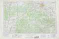 |
Sherman TX, OK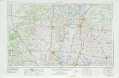 |
Texarkana TX, OK, AR, LA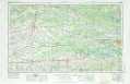 |
Abilene TX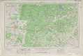 |
Dallas TX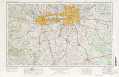 |
Tyler TX, LA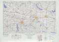 |
> Back to U.S. Topo Maps home
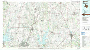
1:100,000 Topo Maps covered by the spatial extent of this 250k map (Sherman)
Gainesville TX, OK |
Sherman TX, OK |
Denton TX |
Mc Kinney TX |