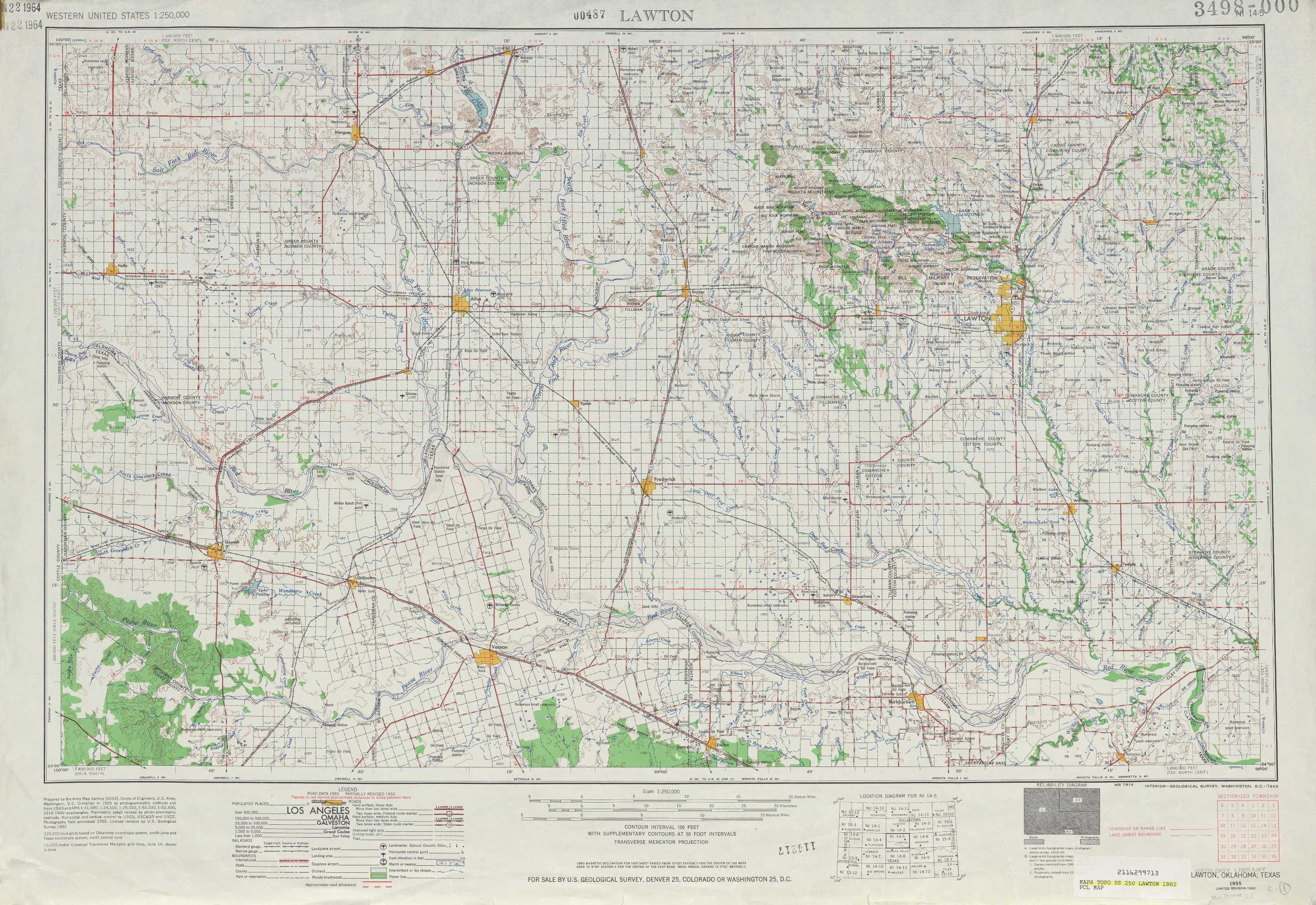
Lawton Topo Map Oklahoma
To zoom in, hover over the map of Lawton
USGS Topo Map 34098a1 - 1:250,000 scale
| Topo Map Name: | Lawton |
| USGS Topo Quad ID: | 34098a1 |
| Print Size: | ca. 32" wide x 22 1/2" high |
| Southeast Coordinates: | 34° N latitude / 98° W longitude |
| Map Center Coordinates: | 34.5° N latitude / 99° W longitude |
| U.S. States: | OK, TX |
| Filename: | 34098a1.jpg |
| Download Map JPG Image: | Lawton topo map 1:250,000 scale |
| Map Type: | Topographic |
| Topo Series: | 1°x2° |
| Map Scale: | 1:250,000 |
| Source of Map Images: | United States Geological Survey (USGS) |
| Alternate Map Versions: |
Lawton OK 1955, updated 1958 Download PDF Buy paper map Lawton OK 1955, updated 1963 Download PDF Buy paper map Lawton OK 1955, updated 1976 Download PDF Buy paper map Lawton OK 1955, updated 1986 Download PDF Buy paper map |
1:250,000 Topos surrounding Lawton
Amarillo TX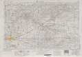 |
Clinton OK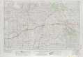 |
Oklahoma City OK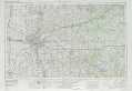 |
Plainview TX |
Lawton OK, TX |
Ardmore OK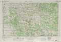 |
Lubbock TX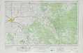 |
Wichita Falls TX, OK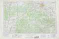 |
Sherman TX, OK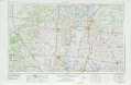 |
> Back to U.S. Topo Maps home
1:100,000 Topo Maps covered by the spatial extent of this 250k map (Lawton)
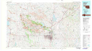
Altus OK, TX |
Lawton OK |
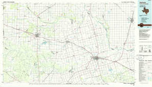
Vernon TX, OK |
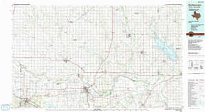
Burkburnett OK, TX |