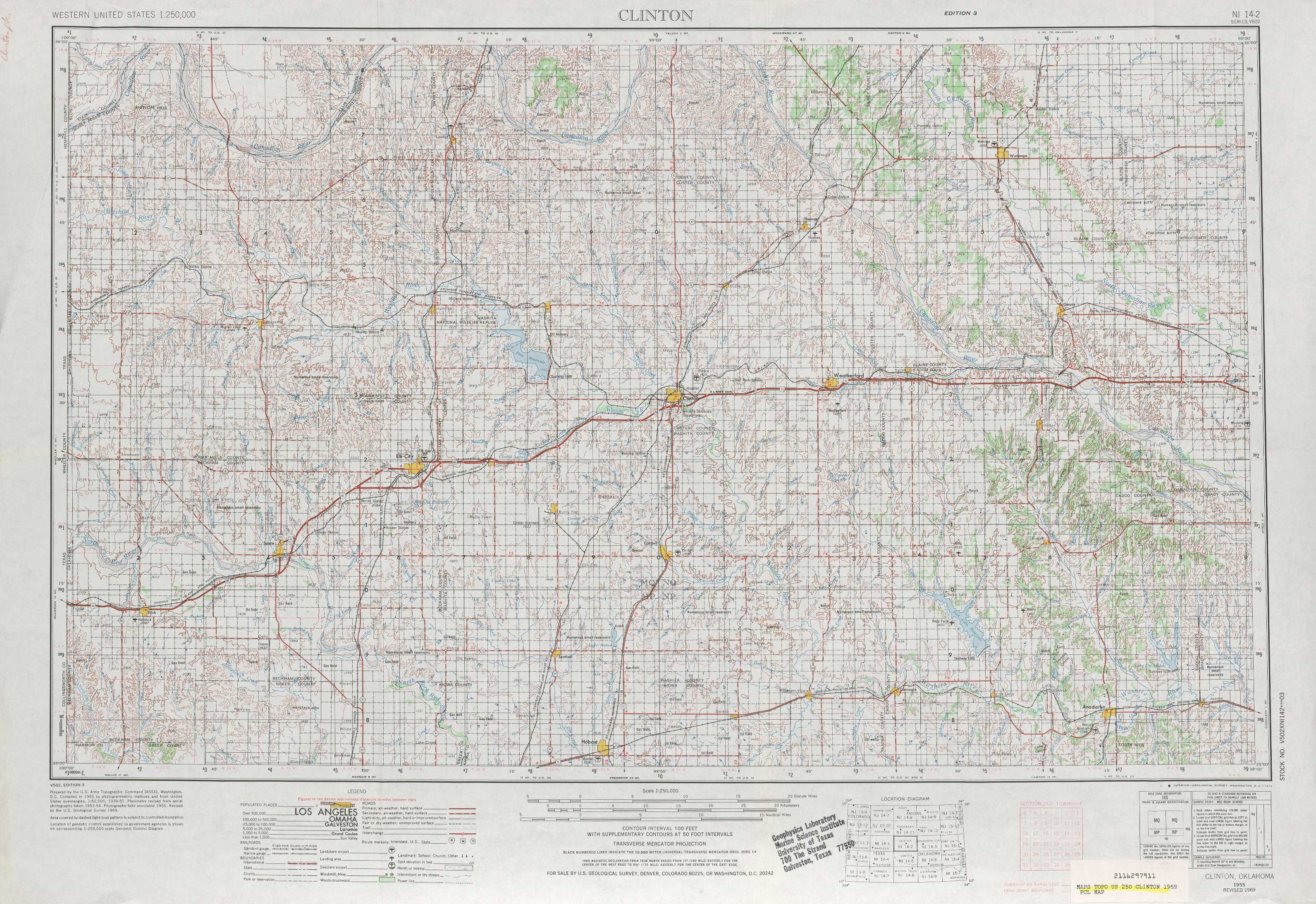
Clinton Topo Map Oklahoma
To zoom in, hover over the map of Clinton
USGS Topo Map 35098a1 - 1:250,000 scale
| Topo Map Name: | Clinton |
| USGS Topo Quad ID: | 35098a1 |
| Print Size: | ca. 32" wide x 22 1/2" high |
| Southeast Coordinates: | 35° N latitude / 98° W longitude |
| Map Center Coordinates: | 35.5° N latitude / 99° W longitude |
| U.S. State: | OK |
| Filename: | 35098a1.jpg |
| Download Map JPG Image: | Clinton topo map 1:250,000 scale |
| Map Type: | Topographic |
| Topo Series: | 1°x2° |
| Map Scale: | 1:250,000 |
| Source of Map Images: | United States Geological Survey (USGS) |
| Alternate Map Versions: |
Clinton OK 1955, updated 1964 Download PDF Buy paper map Clinton OK 1955, updated 1973 Download PDF Buy paper map Clinton OK 1957 Download PDF Buy paper map |
1:250,000 Topos surrounding Clinton
Perryton TX, OK |
Woodward OK |
Enid OK |
Amarillo TX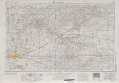 |
Clinton OK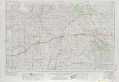 |
Oklahoma City OK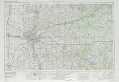 |
Plainview TX |
Lawton OK, TX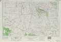 |
Ardmore OK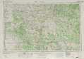 |
> Back to U.S. Topo Maps home
1:100,000 Topo Maps covered by the spatial extent of this 250k map (Clinton)
Foss Reservoir OK, TX |
Watonga OK |
Elk City OK, TX |
Anadarko OK |