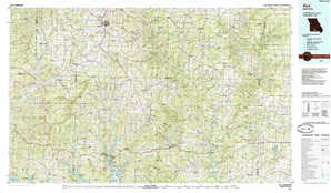
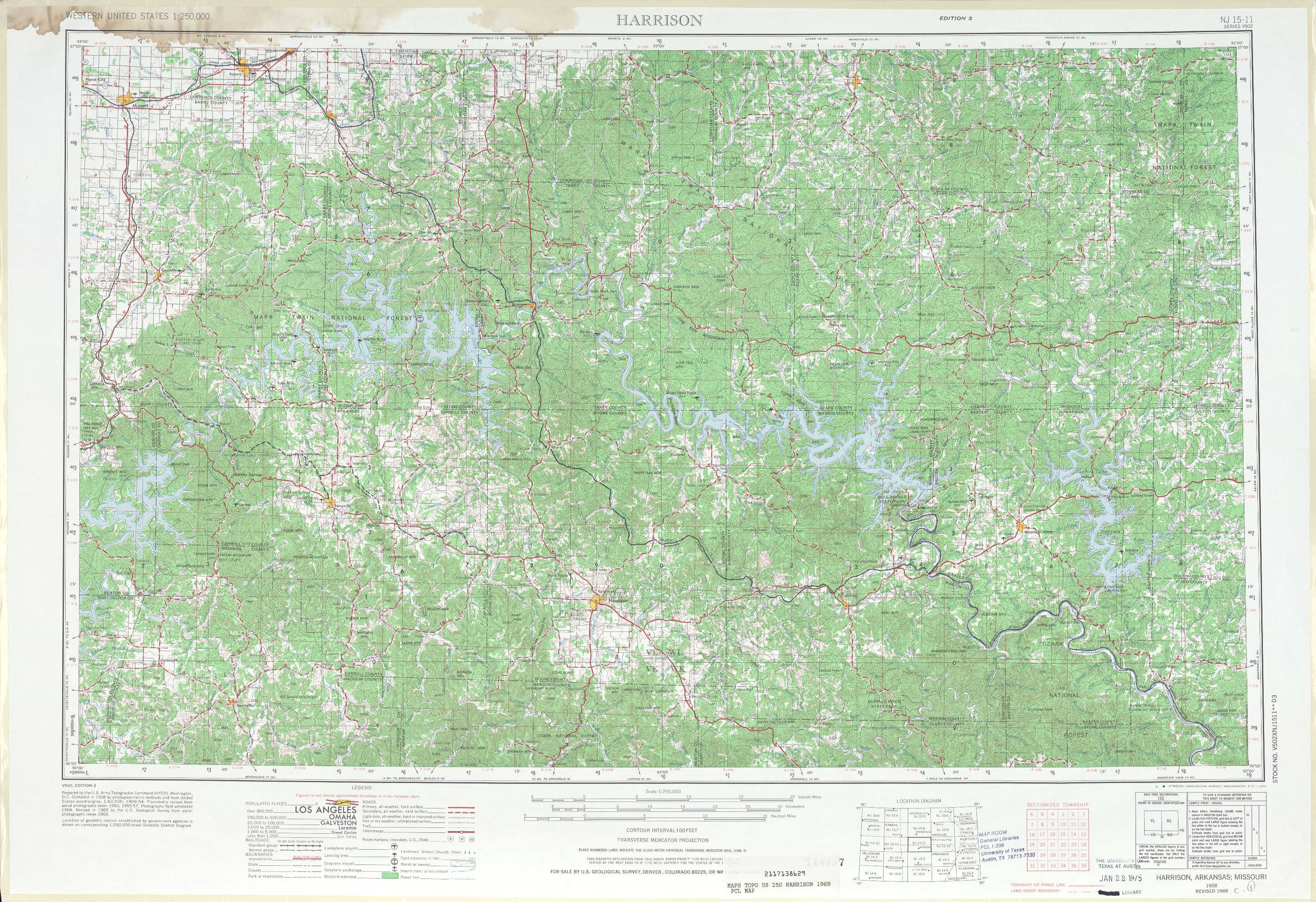
Harrison Topo Map Arkansas
To zoom in, hover over the map of Harrison
USGS Topo Map 36092a1 - 1:250,000 scale
| Topo Map Name: | Harrison |
| USGS Topo Quad ID: | 36092a1 |
| Print Size: | ca. 32" wide x 22 1/2" high |
| Southeast Coordinates: | 36° N latitude / 92° W longitude |
| Map Center Coordinates: | 36.5° N latitude / 93° W longitude |
| U.S. States: | AR, MO |
| Filename: | 36092a1.jpg |
| Download Map JPG Image: | Harrison topo map 1:250,000 scale |
| Map Type: | Topographic |
| Topo Series: | 1°x2° |
| Map Scale: | 1:250,000 |
| Source of Map Images: | United States Geological Survey (USGS) |
| Alternate Map Versions: |
Harrison AR 1945 Download PDF Buy paper map Harrison AR 1949, updated 1949 Download PDF Buy paper map Harrison AR 1958, updated 1973 Download PDF Buy paper map Harrison AR 1964 Download PDF Buy paper map Harrison AR 1985, updated 1985 Download PDF Buy paper map |
1:250,000 Topos surrounding Harrison
Joplin KS, MO |
Springfield MO |
Rolla MO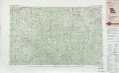 |
Tulsa OK, MO, AR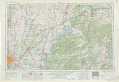 |
Harrison AR, MO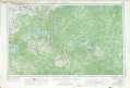 |
Poplar Bluff MO, AR |
Ft Smith OK, AR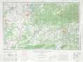 |
Russelville AR |
Memphis AR, TN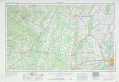 |
> Back to U.S. Topo Maps home
1:100,000 Topo Maps covered by the spatial extent of this 250k map (Harrison)
Table Rock Lake MO |
Ava MO |
Harrison AR, MO |
Bull Shoals Lake AR, MO |