Paducah Topo Map Illinois
To zoom in, hover over the map of Paducah
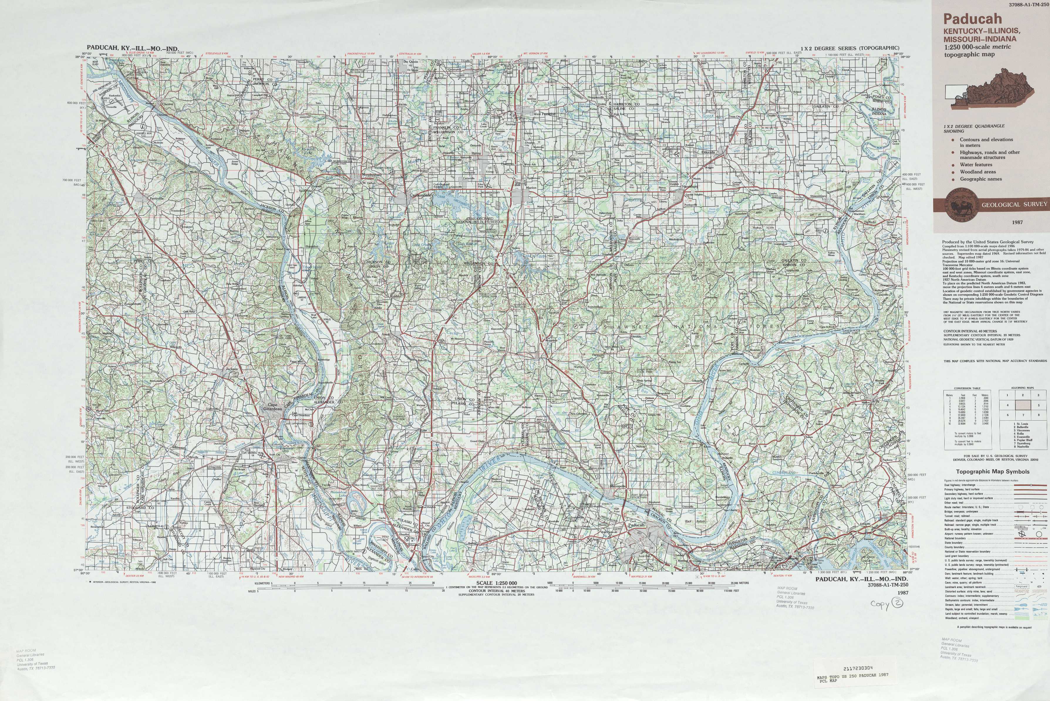
USGS Topo Map 37088a1 - 1:250,000 scale
| Topo Map Name: | Paducah |
| USGS Topo Quad ID: | 37088a1 |
| Print Size: | ca. 32" wide x 22 1/2" high |
| Southeast Coordinates: | 37° N latitude / 88° W longitude |
| Map Center Coordinates: | 37.5° N latitude / 89° W longitude |
| U.S. States: | IL, MO, KY, IN |
| Filename: | 37088a1.jpg |
| Download Map JPG Image: | Paducah topo map 1:250,000 scale |
| Map Type: | Topographic |
| Topo Series: | 1°x2° |
| Map Scale: | 1:250,000 |
| Source of Map Images: | United States Geological Survey (USGS) |
| Alternate Map Versions: |
Paducah KY 1949 Download PDF Buy paper map Paducah KY 1949, updated 1971 Download PDF Buy paper map Paducah KY 1954 Download PDF Buy paper map Paducah KY 1961 Download PDF Buy paper map Paducah KY 1964 Download PDF Buy paper map Paducah KY 1987, updated 1988 Download PDF Buy paper map |
1:250,000 Topos surrounding Paducah
St Louis MO, IL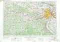 |
Belleville IL |
Vincennes IN, IL, KY |
Rolla MO |
Paducah IL, MO, KY, IN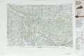 |
Evansville KY, IN |
Poplar Bluff MO, AR |
Dyersburg TN, MO, KY |
Nashville TN, KY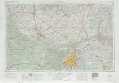 |
> Back to U.S. Topo Maps home
1:100,000 Topo Maps covered by the spatial extent of this 250k map (Paducah)
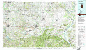
Carbondale IL, MO |
West Frankfort IL, KY, IN |
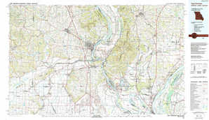
Cape Girardeau MO, IL, KY |
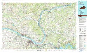
Paducah KY, IL |