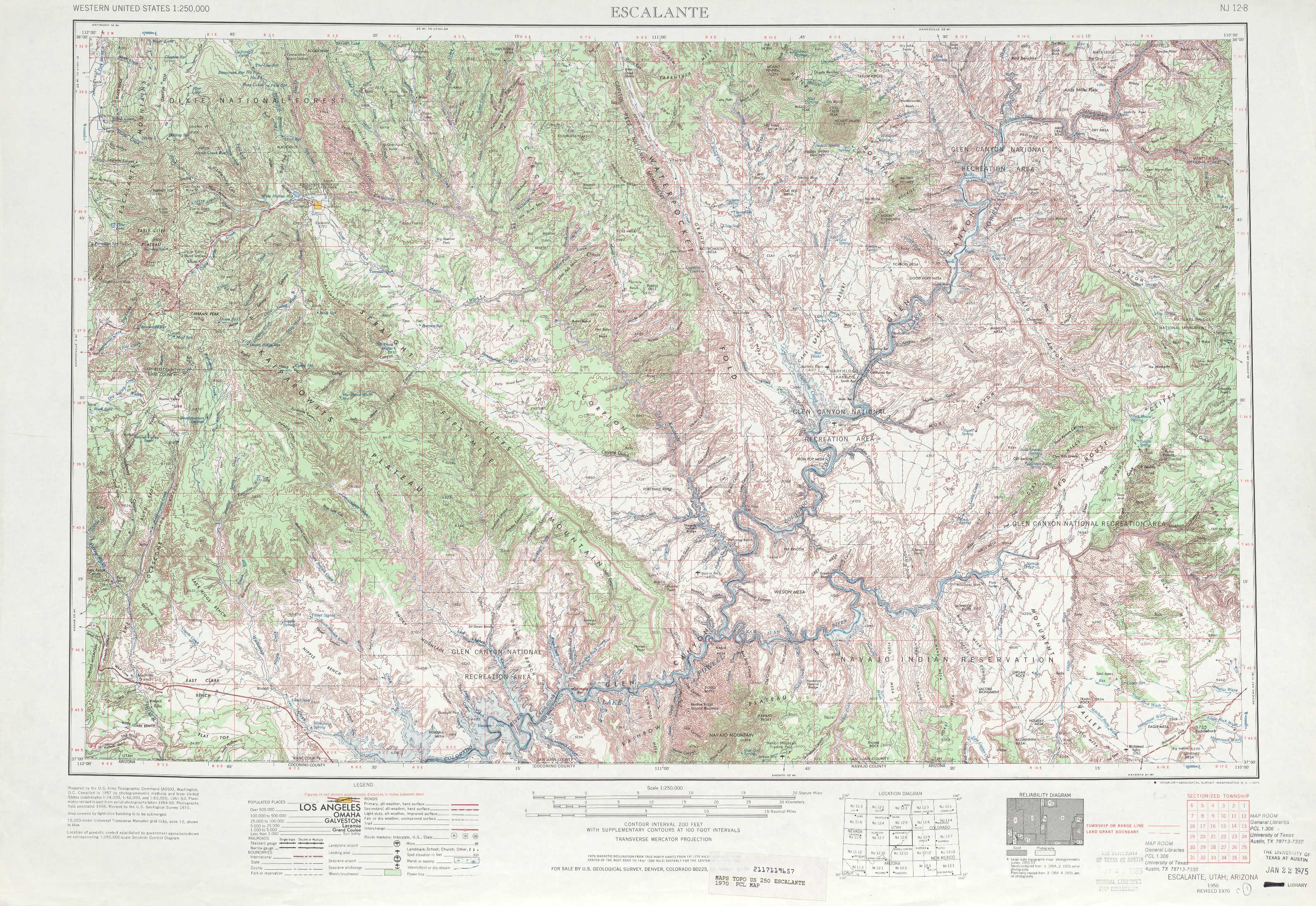
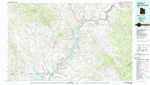
Escalante Topo Map Utah
To zoom in, hover over the map of Escalante
USGS Topo Map 37110a1 - 1:250,000 scale
| Topo Map Name: | Escalante |
| USGS Topo Quad ID: | 37110a1 |
| Print Size: | ca. 32" wide x 22 1/2" high |
| Southeast Coordinates: | 37° N latitude / 110° W longitude |
| Map Center Coordinates: | 37.5° N latitude / 111° W longitude |
| U.S. State: | UT |
| Filename: | 37110a1.jpg |
| Download Map JPG Image: | Escalante topo map 1:250,000 scale |
| Map Type: | Topographic |
| Topo Series: | 1°x2° |
| Map Scale: | 1:250,000 |
| Source of Map Images: | United States Geological Survey (USGS) |
| Alternate Map Versions: |
Escalante UT 1956 Download PDF Buy paper map Escalante UT 1956, updated 1963 Download PDF Buy paper map Escalante UT 1956, updated 1966 Download PDF Buy paper map Escalante UT 1956, updated 1971 Download PDF Buy paper map Escalante UT 1956, updated 1978 Download PDF Buy paper map Escalante UT 1960 Download PDF Buy paper map |
1:250,000 Topos surrounding Escalante
Richfield UT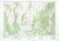 |
Salina UT |
Moab CO, UT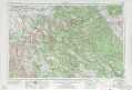 |
Cedar City UT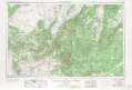 |
Escalante UT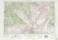 |
Cortez CO, UT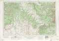 |
Grand Canyon AZ |
Marble Canyon AZ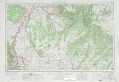 |
Shiprock NM, AZ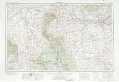 |
> Back to U.S. Topo Maps home
1:100,000 Topo Maps covered by the spatial extent of this 250k map (Escalante)
Escalante UT |
Hite Crossing UT |
Smoky Mountain UT, AZ |
Navajo Mountain UT, AZ |


Escalante area paperback Topo Map Index atlases
Escalante Utah Topo Map Index
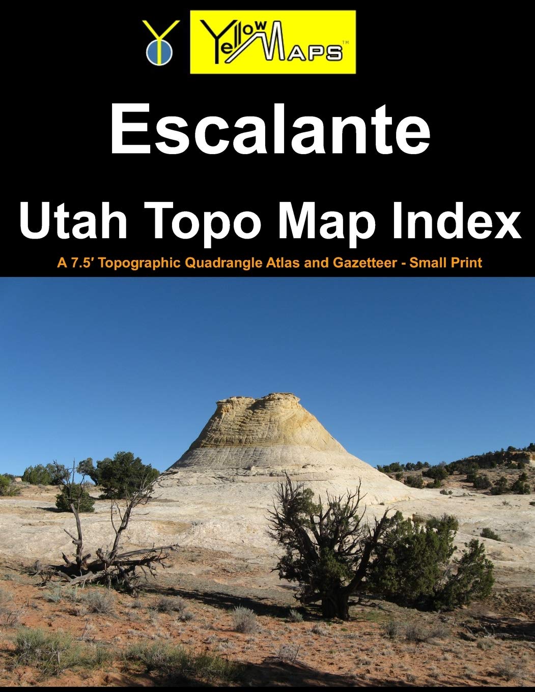
Printed paperback atlas of Escalante Utah, containing 32 historical USGS topographic 7.5´ quadrangle maps for the Escalante area.
Hite Crossing Utah Topo Map Index
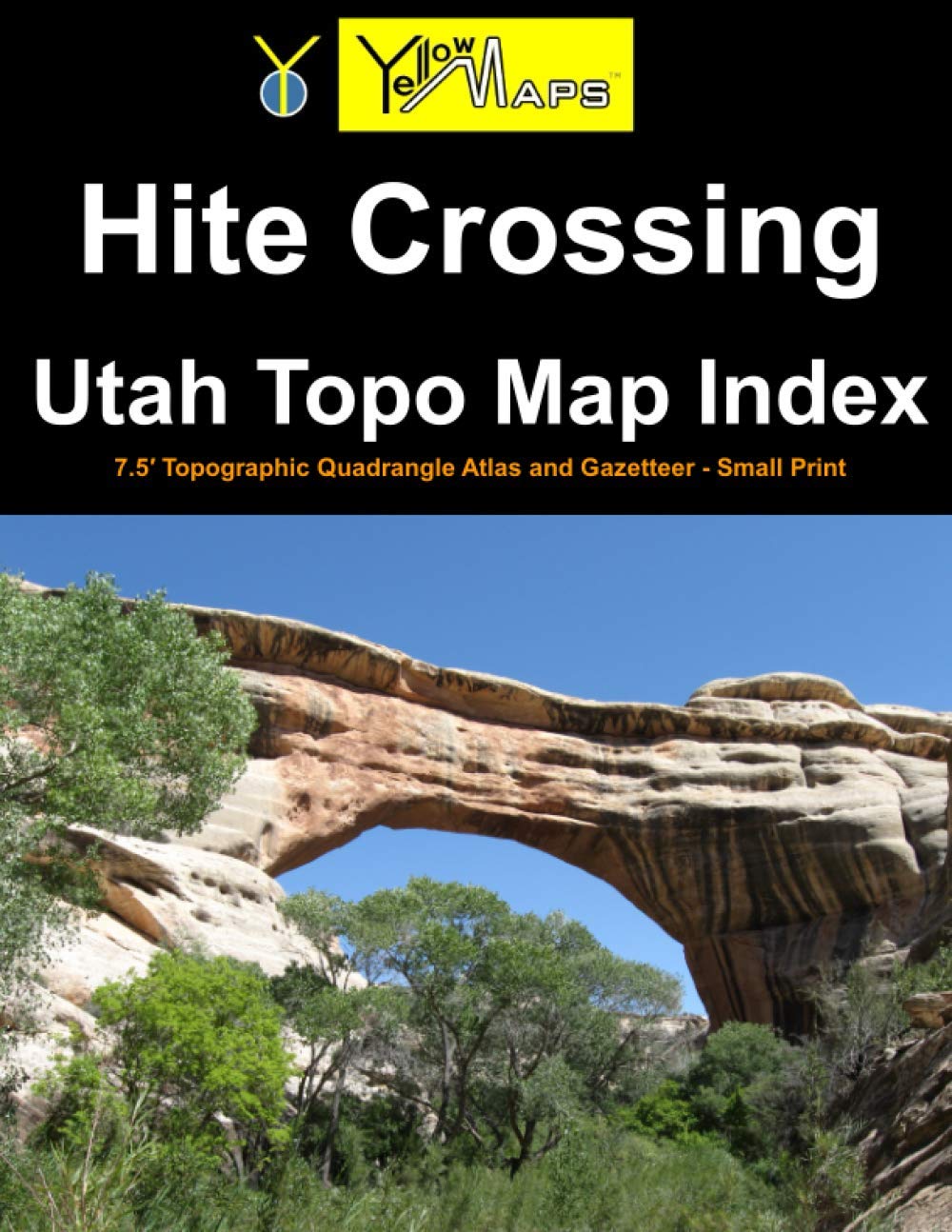
Printed paperback atlas of Hite Crossing Utah, containing 32 historical USGS topographic 7.5´ quadrangle maps for the Hite Crossing area.
Smoky Mountain Utah Topo Map Index
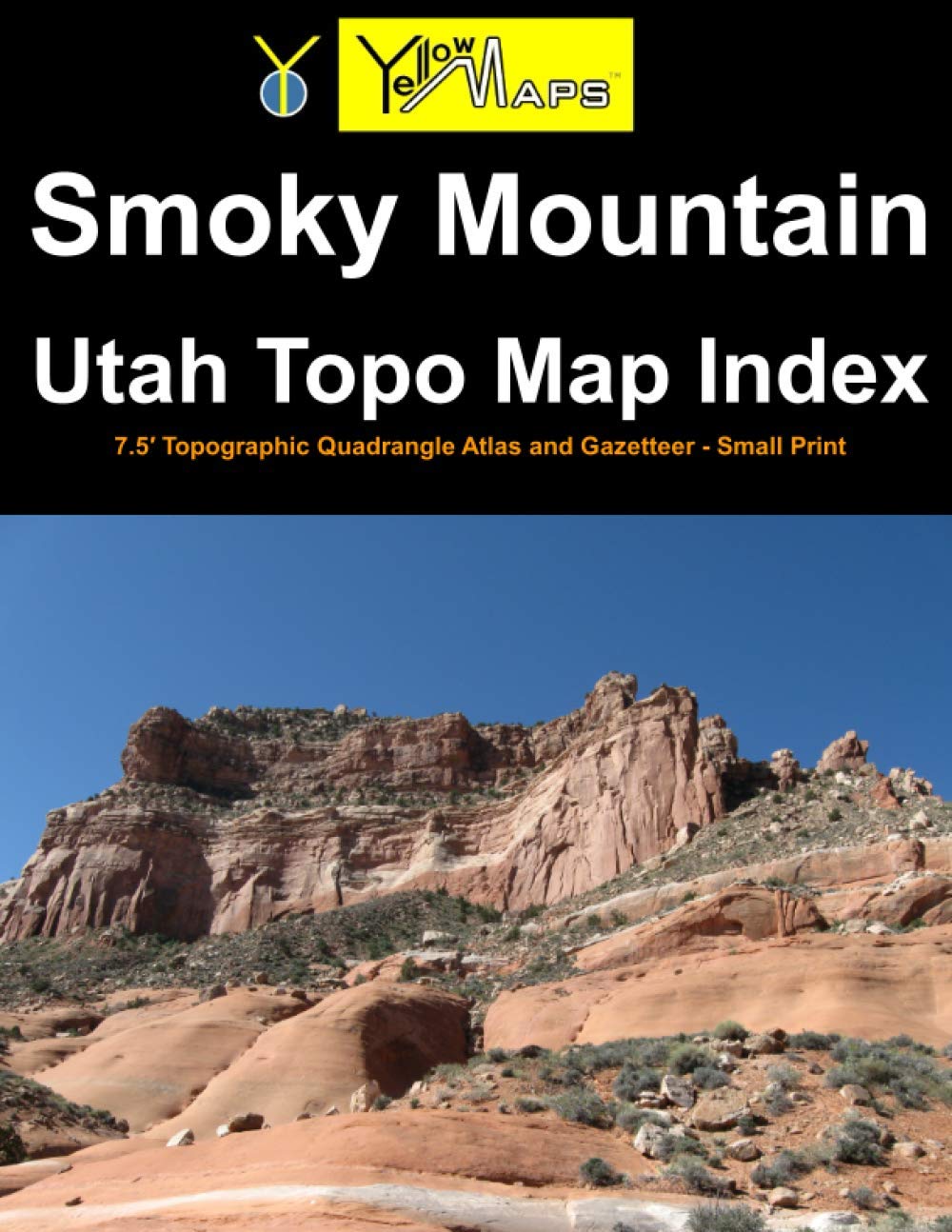
Printed paperback atlas of Smoky Mountain Utah, containing 32 historical USGS topographic 7.5´ quadrangle maps for the Smoky Mountain area.
Navajo Mountain Utah Topo Map Index
Printed paperback atlas of Navajo Mountain Utah, containing 32 historical USGS topographic 7.5´ quadrangle maps for the Navajo Mountain area.