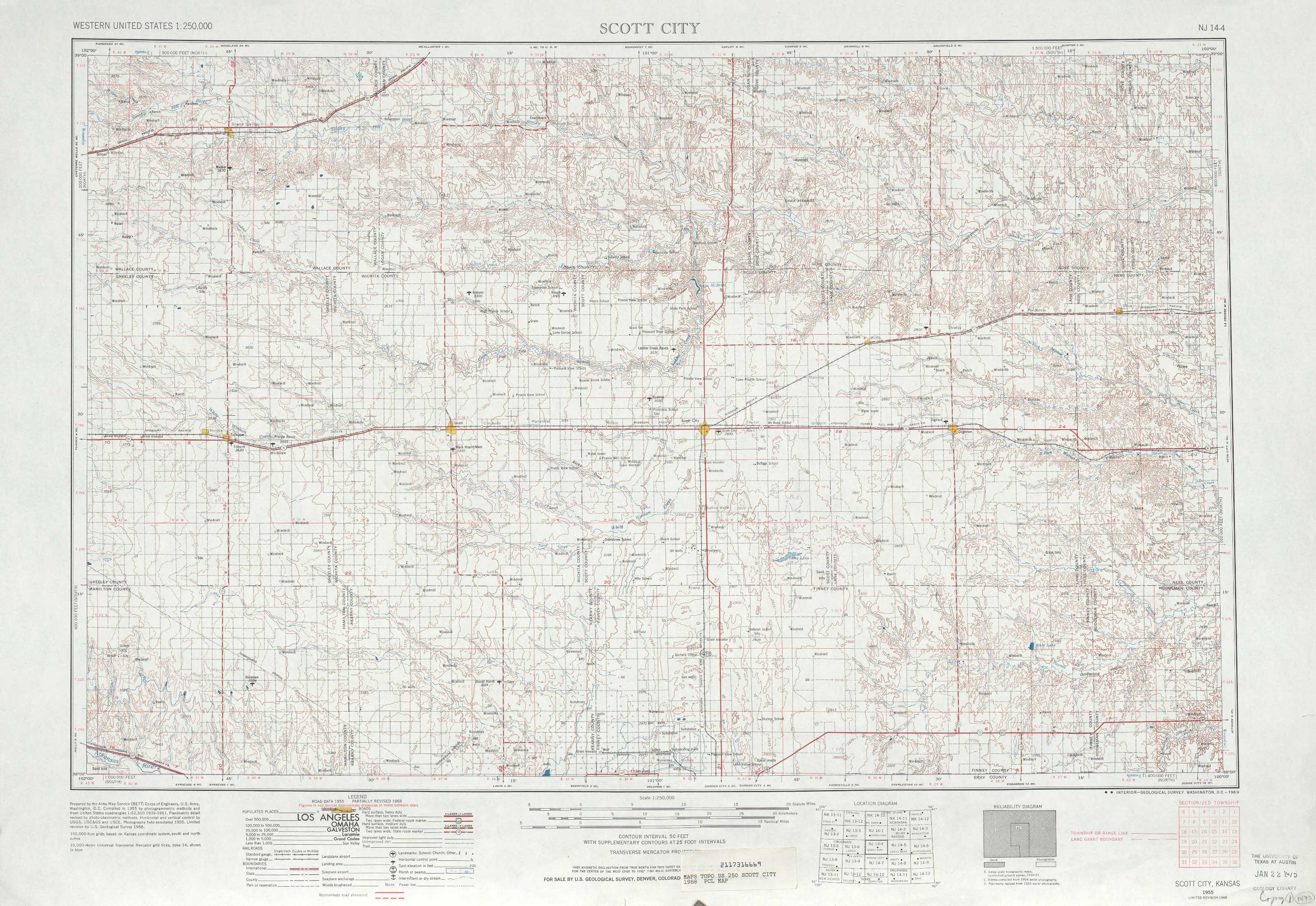
Scott City Topo Map Kansas
To zoom in, hover over the map of Scott City
USGS Topo Map 38100a1 - 1:250,000 scale
| Topo Map Name: | Scott City |
| USGS Topo Quad ID: | 38100a1 |
| Print Size: | ca. 32" wide x 22 1/2" high |
| Southeast Coordinates: | 38° N latitude / 100° W longitude |
| Map Center Coordinates: | 38.5° N latitude / 101° W longitude |
| U.S. State: | KS |
| Filename: | 38100a1.jpg |
| Download Map JPG Image: | Scott City topo map 1:250,000 scale |
| Map Type: | Topographic |
| Topo Series: | 1°x2° |
| Map Scale: | 1:250,000 |
| Source of Map Images: | United States Geological Survey (USGS) |
| Alternate Map Versions: |
Scott City KS 1955, updated 1969 Download PDF Buy paper map Scott City KS 1955, updated 1975 Download PDF Buy paper map Scott City KS 1955, updated 1976 Download PDF Buy paper map Scott City KS 1955, updated 1987 Download PDF Buy paper map Scott City KS 1958, updated 1958 Download PDF Buy paper map |
1:250,000 Topos surrounding Scott City
Limon CO, KS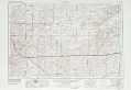 |
Goodland KS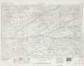 |
Beloit KS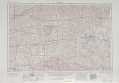 |
Lamar CO, KS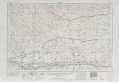 |
Scott City KS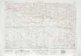 |
Great Bend KS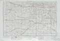 |
La Junta CO, KS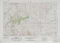 |
Dodge City KS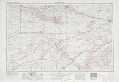 |
Pratt KS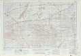 |
> Back to U.S. Topo Maps home
1:100,000 Topo Maps covered by the spatial extent of this 250k map (Scott City)
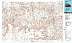
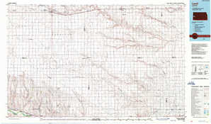
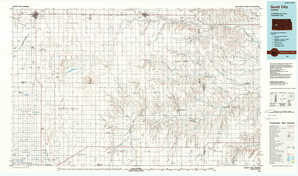
Sharon Springs KS |
Healy KS |
Leoti KS |
Scott City KS |