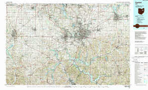
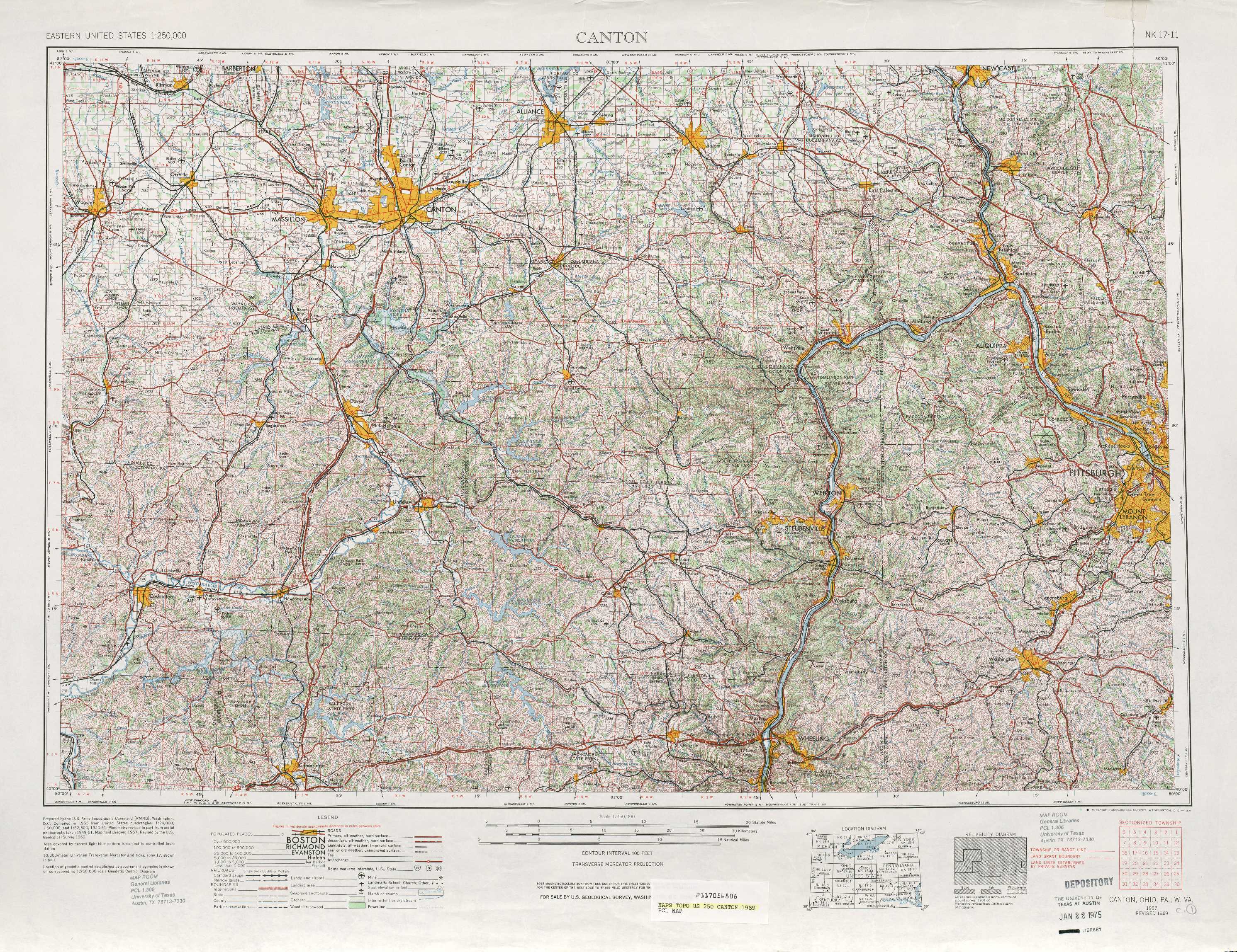
Canton Topo Map Ohio
To zoom in, hover over the map of Canton
USGS Topo Map 40080a1 - 1:250,000 scale
| Topo Map Name: | Canton |
| USGS Topo Quad ID: | 40080a1 |
| Print Size: | ca. 32" wide x 22 1/2" high |
| Southeast Coordinates: | 40° N latitude / 80° W longitude |
| Map Center Coordinates: | 40.5° N latitude / 81° W longitude |
| U.S. States: | OH, PA, WV |
| Filename: | 40080a1.jpg |
| Download Map JPG Image: | Canton topo map 1:250,000 scale |
| Map Type: | Topographic |
| Topo Series: | 1°x2° |
| Map Scale: | 1:250,000 |
| Source of Map Images: | United States Geological Survey (USGS) |
| Alternate Map Versions: |
Canton OH 1951, updated 1951 Download PDF Buy paper map Canton OH 1953 Download PDF Buy paper map Canton OH 1957, updated 1971 Download PDF Buy paper map Canton OH 1957, updated 1978 Download PDF Buy paper map Canton OH 1957, updated 1978 Download PDF Buy paper map Canton OH 1962 Download PDF Buy paper map Canton OH 1962 Download PDF Buy paper map |
1:250,000 Topos surrounding Canton
Toledo OH, MI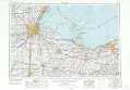 |
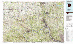
Cleveland OH, PA |
Warren PA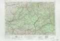 |
Marion OH |
Canton OH, PA, WV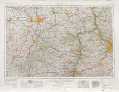 |
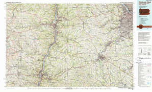
Pittsburgh PA |
Columbus OH |
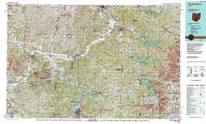
Clarksburg WV, OH, PA |
Cumberland WV, PA, MD, VA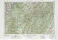 |
> Back to U.S. Topo Maps home
1:100,000 Topo Maps covered by the spatial extent of this 250k map (Canton)
Canton OH |
East Liverpool OH, PA, WV |
Coshocton OH |
Pittsburgh West PA, OH, WV |