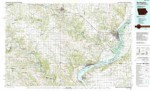
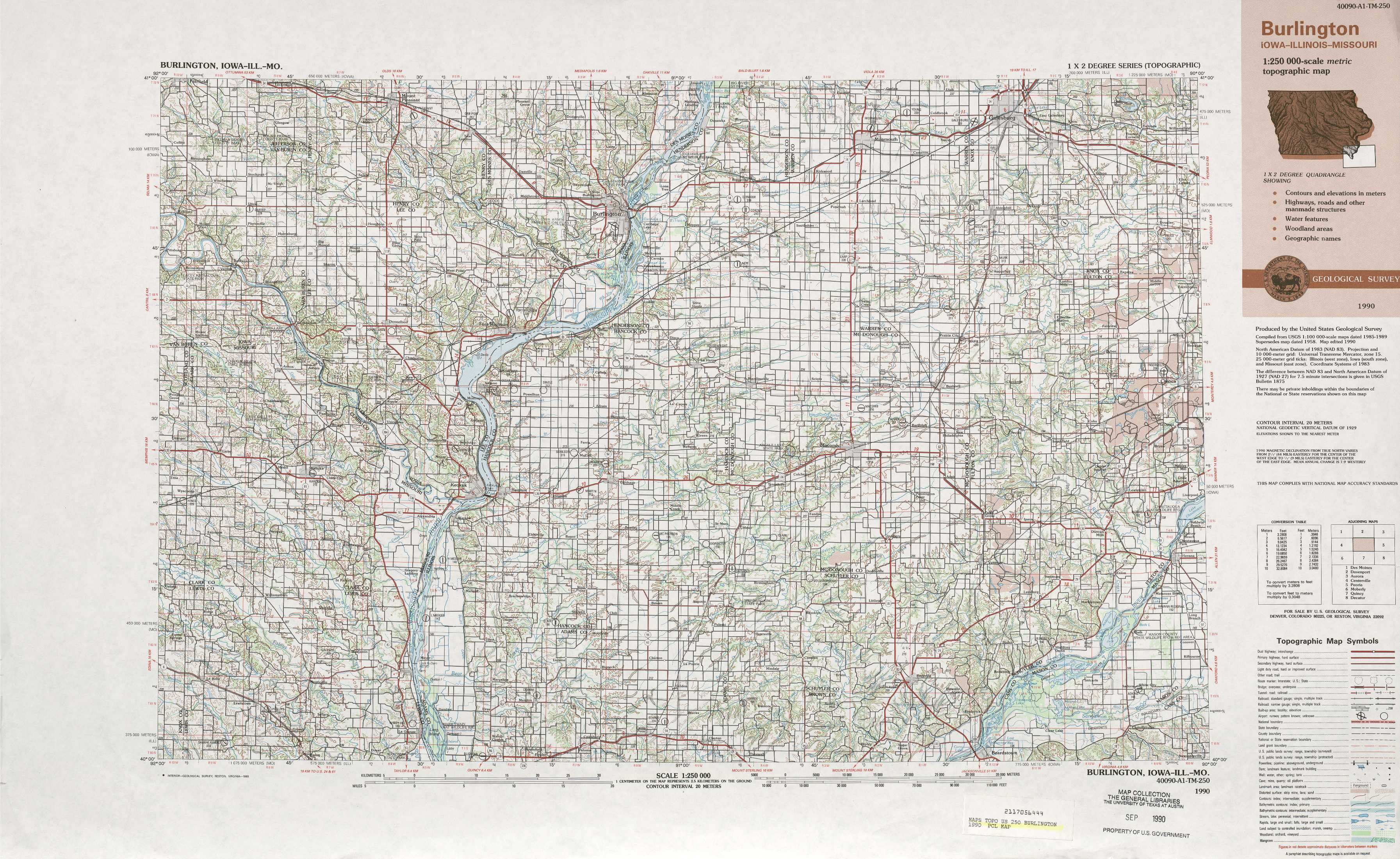
Burlington Topo Map Illinois
To zoom in, hover over the map of Burlington
USGS Topo Map 40090a1 - 1:250,000 scale
| Topo Map Name: | Burlington |
| USGS Topo Quad ID: | 40090a1 |
| Print Size: | ca. 32" wide x 22 1/2" high |
| Southeast Coordinates: | 40° N latitude / 90° W longitude |
| Map Center Coordinates: | 40.5° N latitude / 91° W longitude |
| U.S. States: | IL, IA, MO |
| Filename: | 40090a1.jpg |
| Download Map JPG Image: | Burlington topo map 1:250,000 scale |
| Map Type: | Topographic |
| Topo Series: | 1°x2° |
| Map Scale: | 1:250,000 |
| Source of Map Images: | United States Geological Survey (USGS) |
| Alternate Map Versions: |
Burlington IA 1958, updated 1968 Download PDF Buy paper map Burlington IA 1958, updated 1976 Download PDF Buy paper map Burlington IA 1958, updated 1983 Download PDF Buy paper map Burlington IA 1963 Download PDF Buy paper map Burlington IA 1990, updated 1990 Download PDF Buy paper map Burlington IA 1990, updated 1990 Download PDF Buy paper map |
1:250,000 Topos surrounding Burlington
Des Moines IA |
Davenport IA, IL |
Aurora IL |
Centerville MO, IA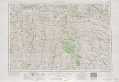 |
Burlington IL, IA, MO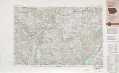 |
Peoria IL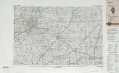 |
Moberly MO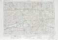 |
Quincy IL, MO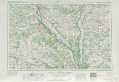 |
Decatur IL |
> Back to U.S. Topo Maps home
1:100,000 Topo Maps covered by the spatial extent of this 250k map (Burlington)
Burlington IA, IL, MO |
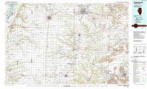
Galesburg IL, IA |
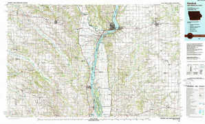
Keokuk IA, MO, IL |
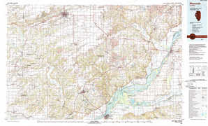
Macomb IL |