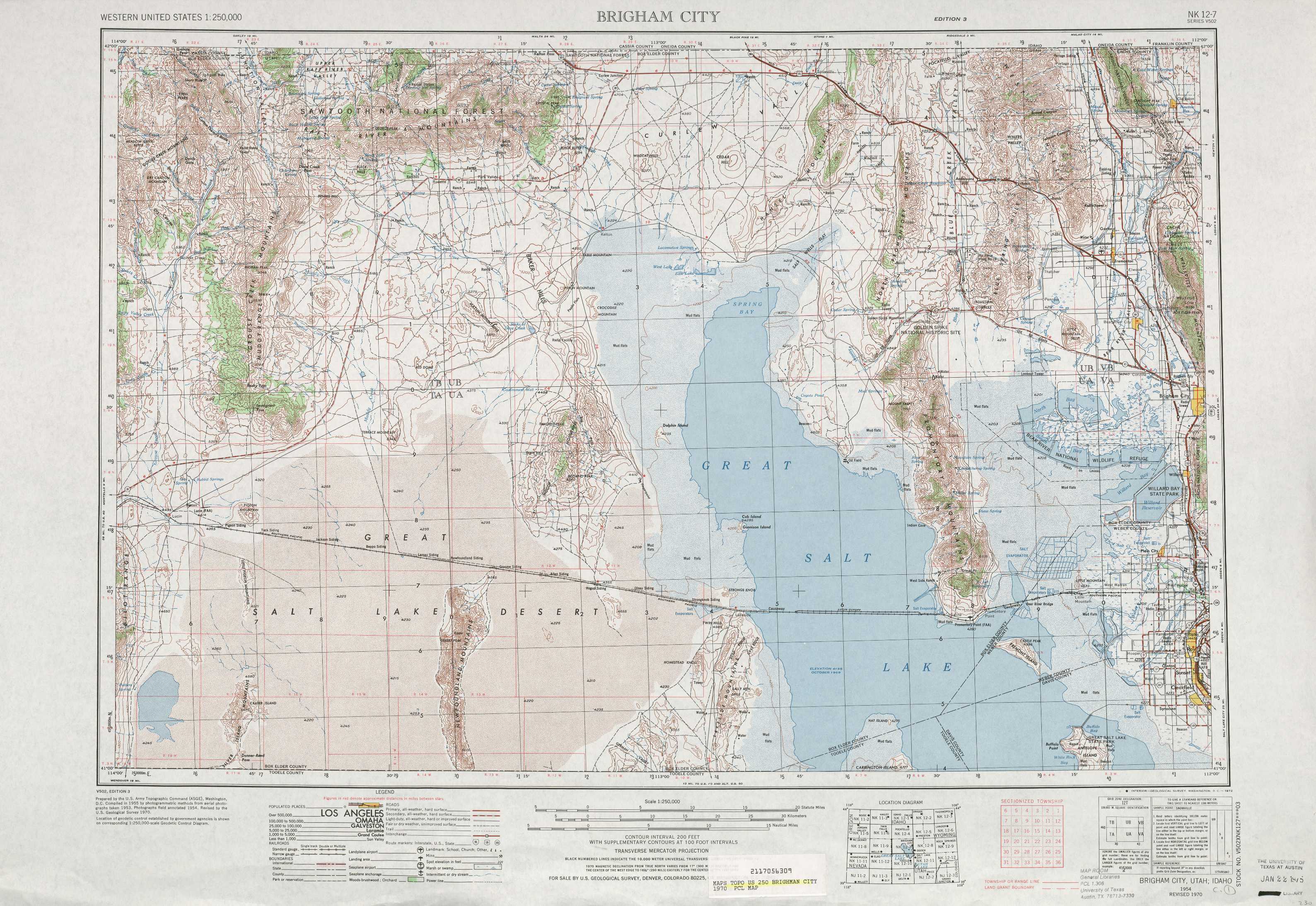
Brigham City Topo Map Utah
To zoom in, hover over the map of Brigham City
USGS Topo Map 41112a1 - 1:250,000 scale
| Topo Map Name: | Brigham City |
| USGS Topo Quad ID: | 41112a1 |
| Print Size: | ca. 32" wide x 22 1/2" high |
| Southeast Coordinates: | 41° N latitude / 112° W longitude |
| Map Center Coordinates: | 41.5° N latitude / 113° W longitude |
| U.S. State: | UT |
| Filename: | 41112a1.jpg |
| Download Map JPG Image: | Brigham City topo map 1:250,000 scale |
| Map Type: | Topographic |
| Topo Series: | 1°x2° |
| Map Scale: | 1:250,000 |
| Source of Map Images: | United States Geological Survey (USGS) |
| Alternate Map Versions: |
Brigham City UT 1954, updated 1968 Download PDF Buy paper map Brigham City UT 1954, updated 1972 Download PDF Buy paper map Brigham City UT 1954, updated 1981 Download PDF Buy paper map Brigham City UT 1954, updated 1985 Download PDF Buy paper map Brigham City UT 1958 Download PDF Buy paper map Brigham City UT 1962 Download PDF Buy paper map |
1:250,000 Topos surrounding Brigham City
Twin Falls ID |
Pocatello ID |
Preston WY, ID |
Wells NV, UT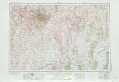 |
Brigham City UT |
Ogden WY, UT |
Elko NV, UT |
Tooele UT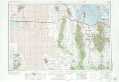 |
Salt Lake City UT |
> Back to U.S. Topo Maps home
1:100,000 Topo Maps covered by the spatial extent of this 250k map (Brigham City)
Grouse Creek UT, ID |
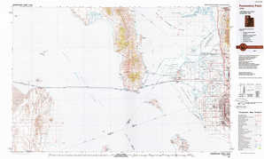
Tremonton UT, ID |
Newfoundland Mountains UT |
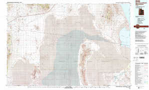
Promontory Point UT |


Brigham City area paperback Topo Map Index atlases
Grouse Creek Utah Topo Map Index
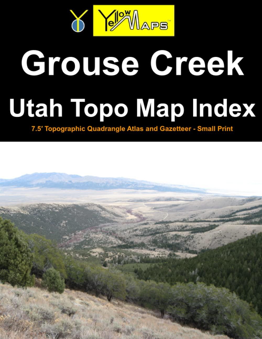
Printed paperback atlas of Grouse Creek Utah, containing 32 historical USGS topographic 7.5´ quadrangle maps for the Grouse Creek area.