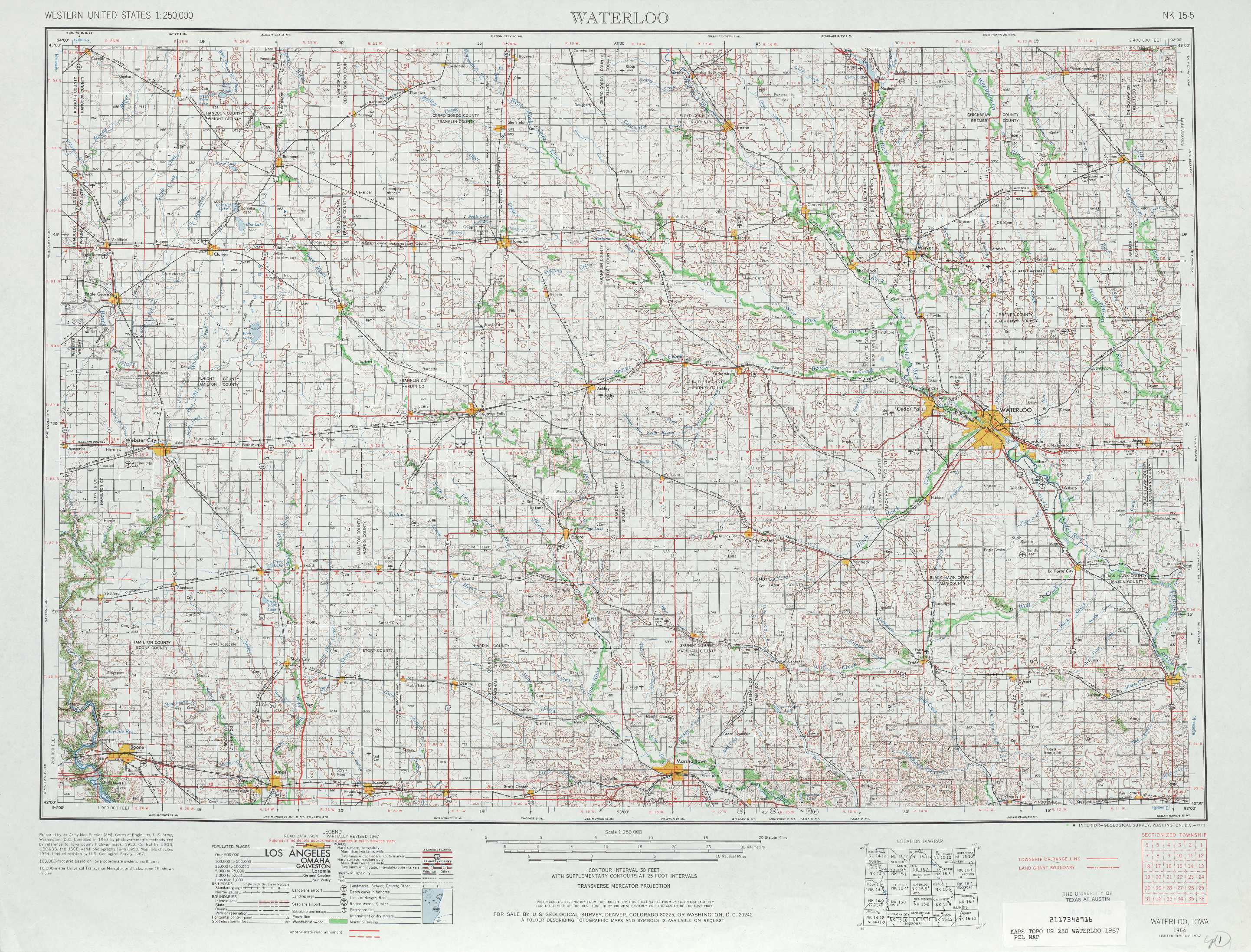
Waterloo Topo Map Iowa
To zoom in, hover over the map of Waterloo
USGS Topo Map 42092a1 - 1:250,000 scale
| Topo Map Name: | Waterloo |
| USGS Topo Quad ID: | 42092a1 |
| Print Size: | ca. 32" wide x 22 1/2" high |
| Southeast Coordinates: | 42° N latitude / 92° W longitude |
| Map Center Coordinates: | 42.5° N latitude / 93° W longitude |
| U.S. State: | IA |
| Filename: | 42092a1.jpg |
| Download Map JPG Image: | Waterloo topo map 1:250,000 scale |
| Map Type: | Topographic |
| Topo Series: | 1°x2° |
| Map Scale: | 1:250,000 |
| Source of Map Images: | United States Geological Survey (USGS) |
| Alternate Map Versions: |
Waterloo IA 1954, updated 1968 Download PDF Buy paper map Waterloo IA 1954, updated 1973 Download PDF Buy paper map Waterloo IA 1954, updated 1978 Download PDF Buy paper map Waterloo IA 1955 Download PDF Buy paper map |
1:250,000 Topos surrounding Waterloo
Fairmont IA, MN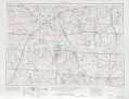 |
Mason City IA, MN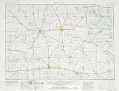 |
La Crosse WI, IA, MN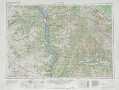 |
Ft Dodge IA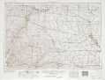 |
Waterloo IA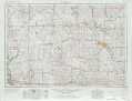 |
Dubuque IA, WI, IL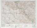 |
Omaha IA, NE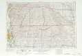 |
Des Moines IA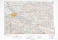 |
Davenport IA, IL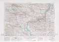 |
> Back to U.S. Topo Maps home
1:100,000 Topo Maps covered by the spatial extent of this 250k map (Waterloo)
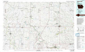
Iowa Falls IA |
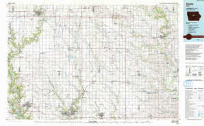
Waverly IA |
Ames IA |
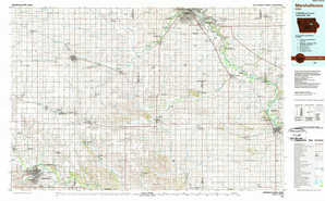
Marshalltown IA |