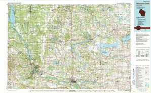
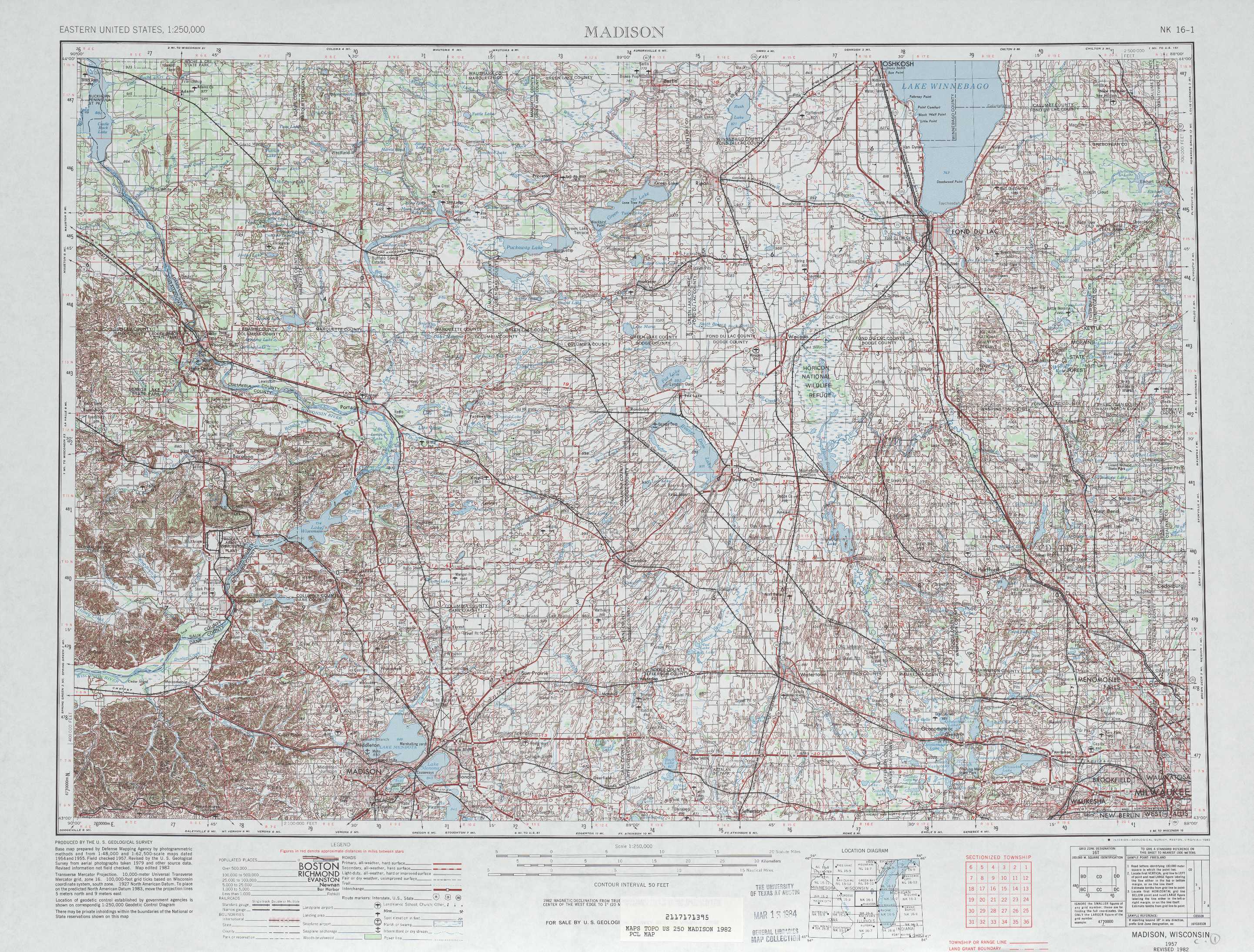
Madison Topo Map Wisconsin
To zoom in, hover over the map of Madison
USGS Topo Map 43088a1 - 1:250,000 scale
| Topo Map Name: | Madison |
| USGS Topo Quad ID: | 43088a1 |
| Print Size: | ca. 32" wide x 22 1/2" high |
| Southeast Coordinates: | 43° N latitude / 88° W longitude |
| Map Center Coordinates: | 43.5° N latitude / 89° W longitude |
| U.S. State: | WI |
| Filename: | 43088a1.jpg |
| Download Map JPG Image: | Madison topo map 1:250,000 scale |
| Map Type: | Topographic |
| Topo Series: | 1°x2° |
| Map Scale: | 1:250,000 |
| Source of Map Images: | United States Geological Survey (USGS) |
| Alternate Map Versions: |
Madison WI 1957, updated 1967 Download PDF Buy paper map Madison WI 1957, updated 1976 Download PDF Buy paper map Madison WI 1957, updated 1983 Download PDF Buy paper map Madison WI 1960 Download PDF Buy paper map Madison WI 1960, updated 1960 Download PDF Buy paper map |
1:250,000 Topos surrounding Madison
Eau Clare WI, MN |
Green Bay WI |
Manitowoc WI, MI |
La Crosse WI, IA, MN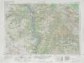 |
Madison WI |
Milwaukee MI, WI |
Dubuque IA, WI, IL |
Rockford IL, WI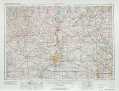 |
Racine MI, IL, WI |
> Back to U.S. Topo Maps home
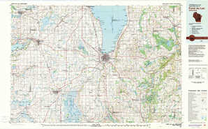
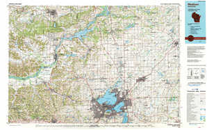
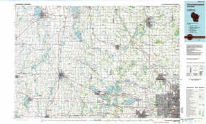
1:100,000 Topo Maps covered by the spatial extent of this 250k map (Madison)
Wisconsin Dells WI |
Fond Du Lac WI |
Madison WI |
Oconomowoc WI |