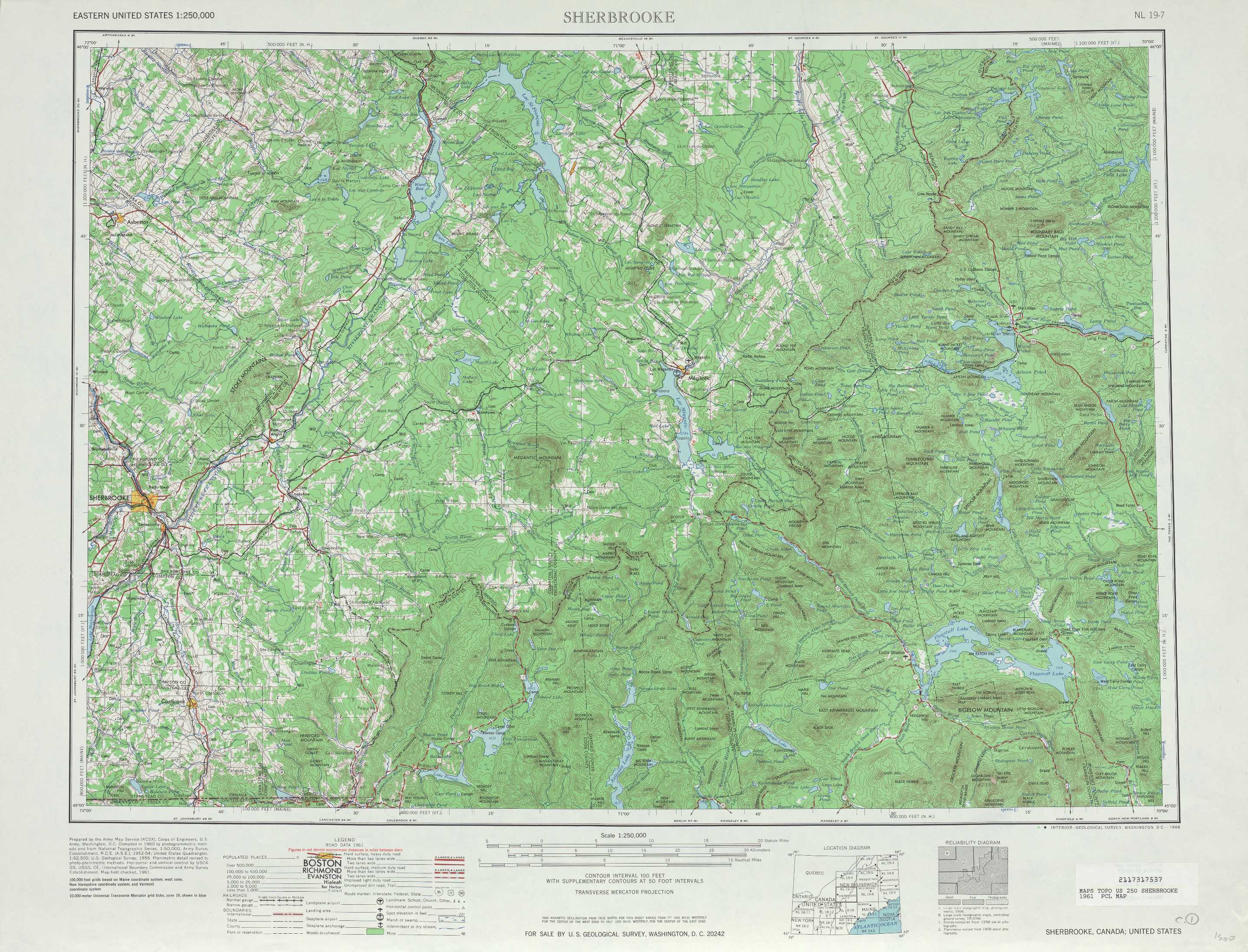
Sherbrooke Topo Map Maine
To zoom in, hover over the map of Sherbrooke
USGS Topo Map 45070a1 - 1:250,000 scale
| Topo Map Name: | Sherbrooke |
| USGS Topo Quad ID: | 45070a1 |
| Print Size: | ca. 32" wide x 22 1/2" high |
| Southeast Coordinates: | 45° N latitude / 70° W longitude |
| Map Center Coordinates: | 45.5° N latitude / 71° W longitude |
| U.S. States: | ME, NH, VT |
| Filename: | 45070a1.jpg |
| Download Map JPG Image: | Sherbrooke topo map 1:250,000 scale |
| Map Type: | Topographic |
| Topo Series: | 1°x2° |
| Map Scale: | 1:250,000 |
| Source of Map Images: | United States Geological Survey (USGS) |
| Alternate Map Versions: |
Jackman ME 1949, updated 1949 Download PDF Buy paper map Jackman ME 1949, updated 1951 Download PDF Buy paper map Jackman ME 1963, updated 1963 Download PDF Buy paper map Sherbrooke ME 1966, updated 1966 Download PDF Buy paper map Sherbrook ME 1976 Download PDF Buy paper map Sherbrooke ME 1976, updated 1976 Download PDF Buy paper map |
1:250,000 Topos surrounding Sherbrooke
Quebec ME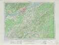 |
Presque Isle ME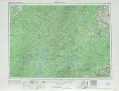 |
|
Sherbrooke ME, NH, VT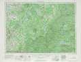 |
Millinocket ME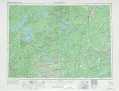 |
|
Lake Champlain VT, NY, NH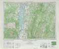 |
Lewiston ME, NH, VT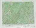 |
Bangor ME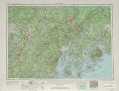 |
> Back to U.S. Topo Maps home
1:100,000 Topo Maps covered by the spatial extent of this 250k map (Sherbrooke)
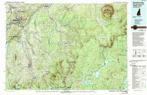
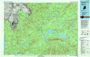
Megantic ME |
Sherbrooke NH, ME, VT |
Flagstaff Lake ME |