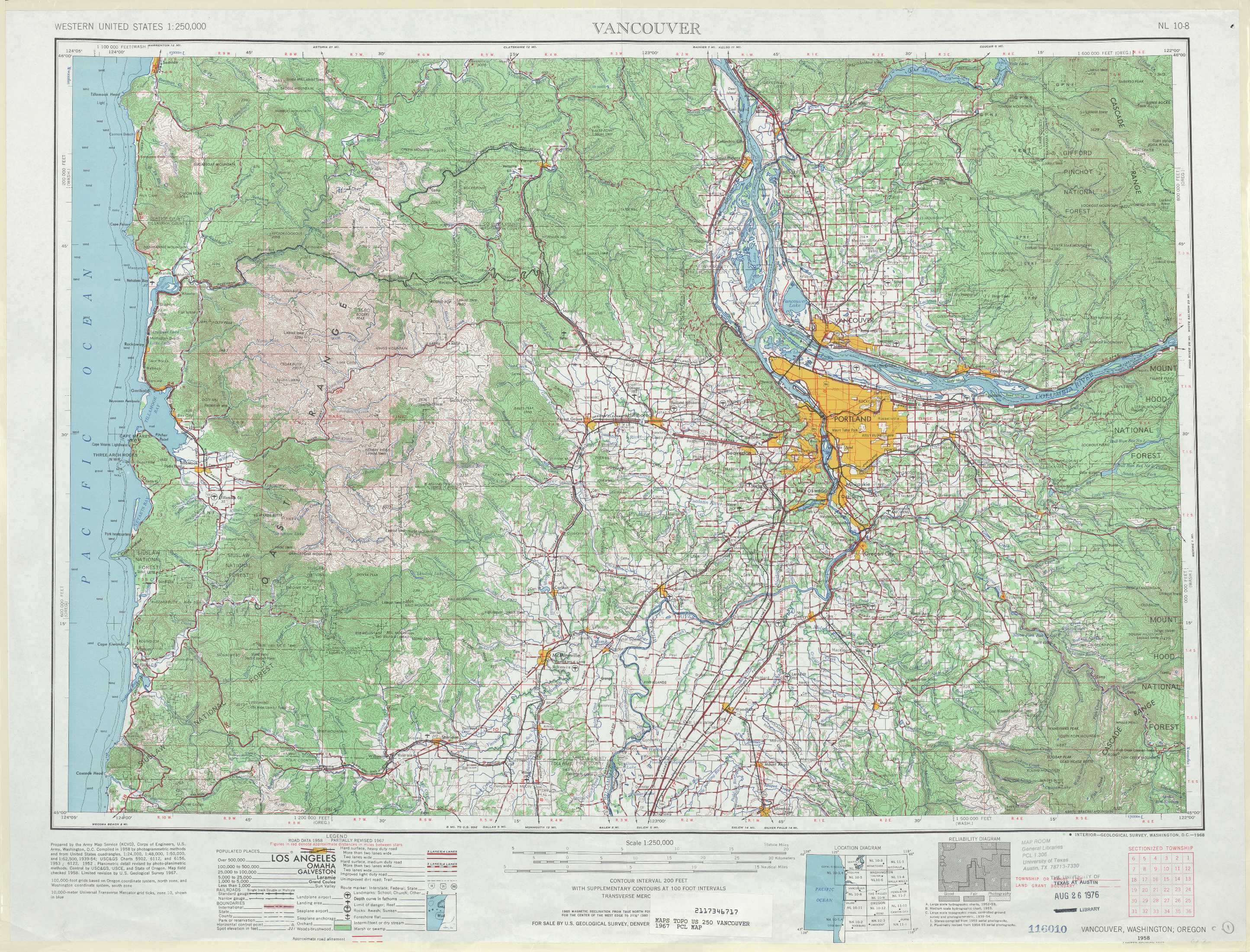
Vancouver Topo Map Oregon
To zoom in, hover over the map of Vancouver
USGS Topo Map 45122a1 - 1:250,000 scale
| Topo Map Name: | Vancouver |
| USGS Topo Quad ID: | 45122a1 |
| Print Size: | ca. 32" wide x 22 1/2" high |
| Southeast Coordinates: | 45° N latitude / 122° W longitude |
| Map Center Coordinates: | 45.5° N latitude / 123° W longitude |
| U.S. States: | OR, WA |
| Filename: | 45122a1.jpg |
| Download Map JPG Image: | Vancouver topo map 1:250,000 scale |
| Map Type: | Topographic |
| Topo Series: | 1°x2° |
| Map Scale: | 1:250,000 |
| Source of Map Images: | United States Geological Survey (USGS) |
| Alternate Map Versions: |
Vancouver WA 1950, updated 1950 Download PDF Buy paper map |
1:250,000 Topos surrounding Vancouver
Cape Disappointment WA |
Hoquiam WA, OR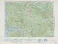 |
Yakima WA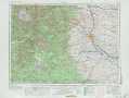 |
Vancouver OR, WA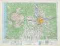 |
The Dalles OR, WA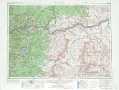 |
|
West of Salem OR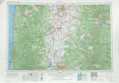 |
Salem OR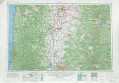 |
Bend OR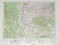 |
> Back to U.S. Topo Maps home
1:100,000 Topo Maps covered by the spatial extent of this 250k map (Vancouver)
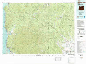
Nehalem River OR |
Vancouver WA, OR |
Yamhill River OR |
Oregon City OR |