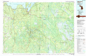
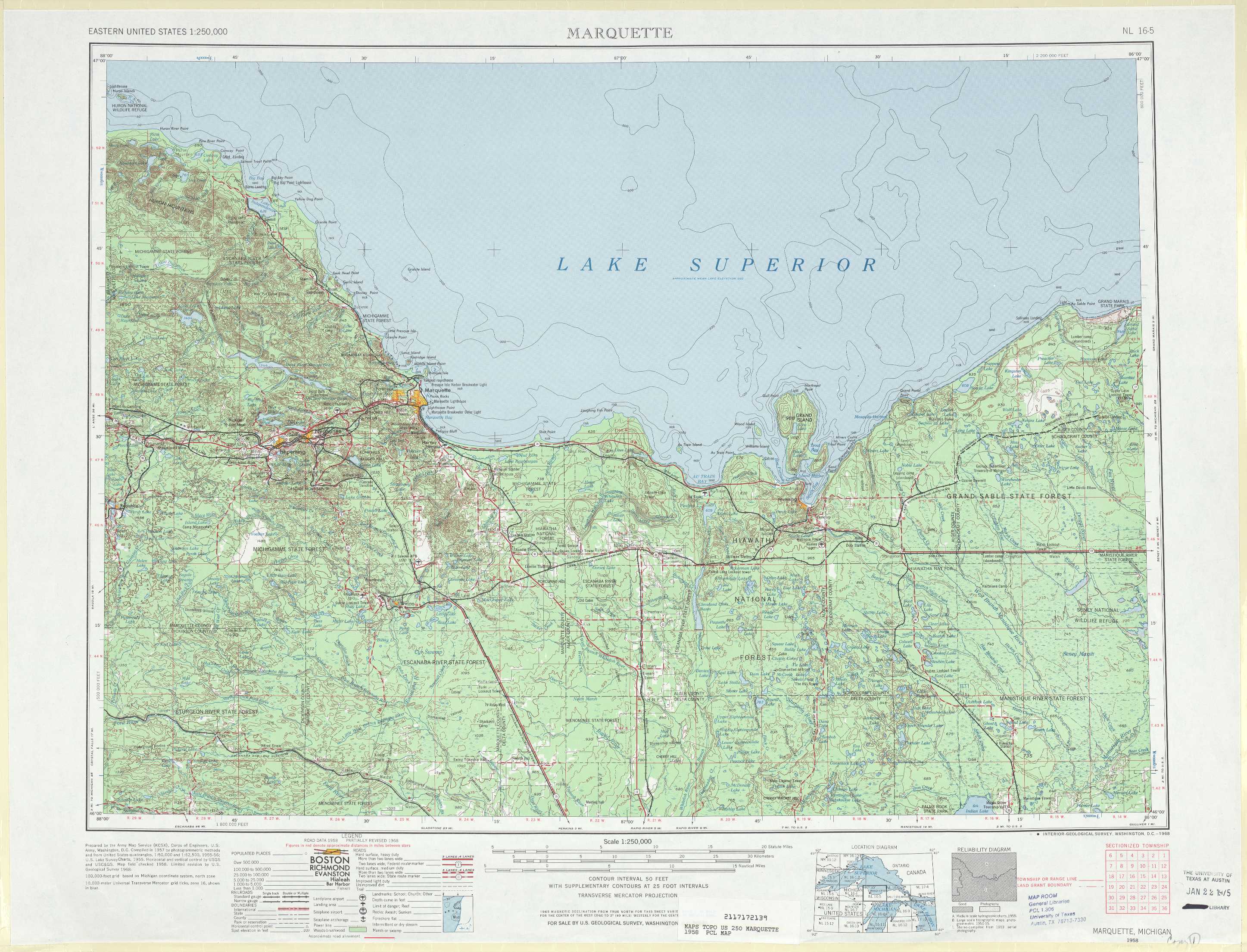
Marquette Topo Map Michigan
To zoom in, hover over the map of Marquette
USGS Topo Map 46086a1 - 1:250,000 scale
| Topo Map Name: | Marquette |
| USGS Topo Quad ID: | 46086a1 |
| Print Size: | ca. 32" wide x 22 1/2" high |
| Southeast Coordinates: | 46° N latitude / 86° W longitude |
| Map Center Coordinates: | 46.5° N latitude / 87° W longitude |
| U.S. State: | MI |
| Filename: | 46086a1.jpg |
| Download Map JPG Image: | Marquette topo map 1:250,000 scale |
| Map Type: | Topographic |
| Topo Series: | 1°x2° |
| Map Scale: | 1:250,000 |
| Source of Map Images: | United States Geological Survey (USGS) |
| Alternate Map Versions: |
Marquette MI 1958, updated 1968 Download PDF Buy paper map Marquette MI 1958, updated 1984 Download PDF Buy paper map Marquette MI 1961 Download PDF Buy paper map Marquette MI 1968, updated 1977 Download PDF Buy paper map |
1:250,000 Topos surrounding Marquette
Hancock MI, MN |
East of Hancock MI |
|
Iron River MI, WI |
Marquette MI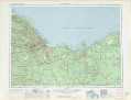 |
Sault Sainte Marie MI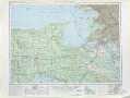 |
Iron Mtn WI, MI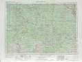 |
Escanaba MI, WI |
Cheboygan MI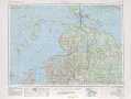 |
> Back to U.S. Topo Maps home
1:100,000 Topo Maps covered by the spatial extent of this 250k map (Marquette)
Marquette MI |
Au Sable Point MI |
Gwinn MI |
Munising MI |