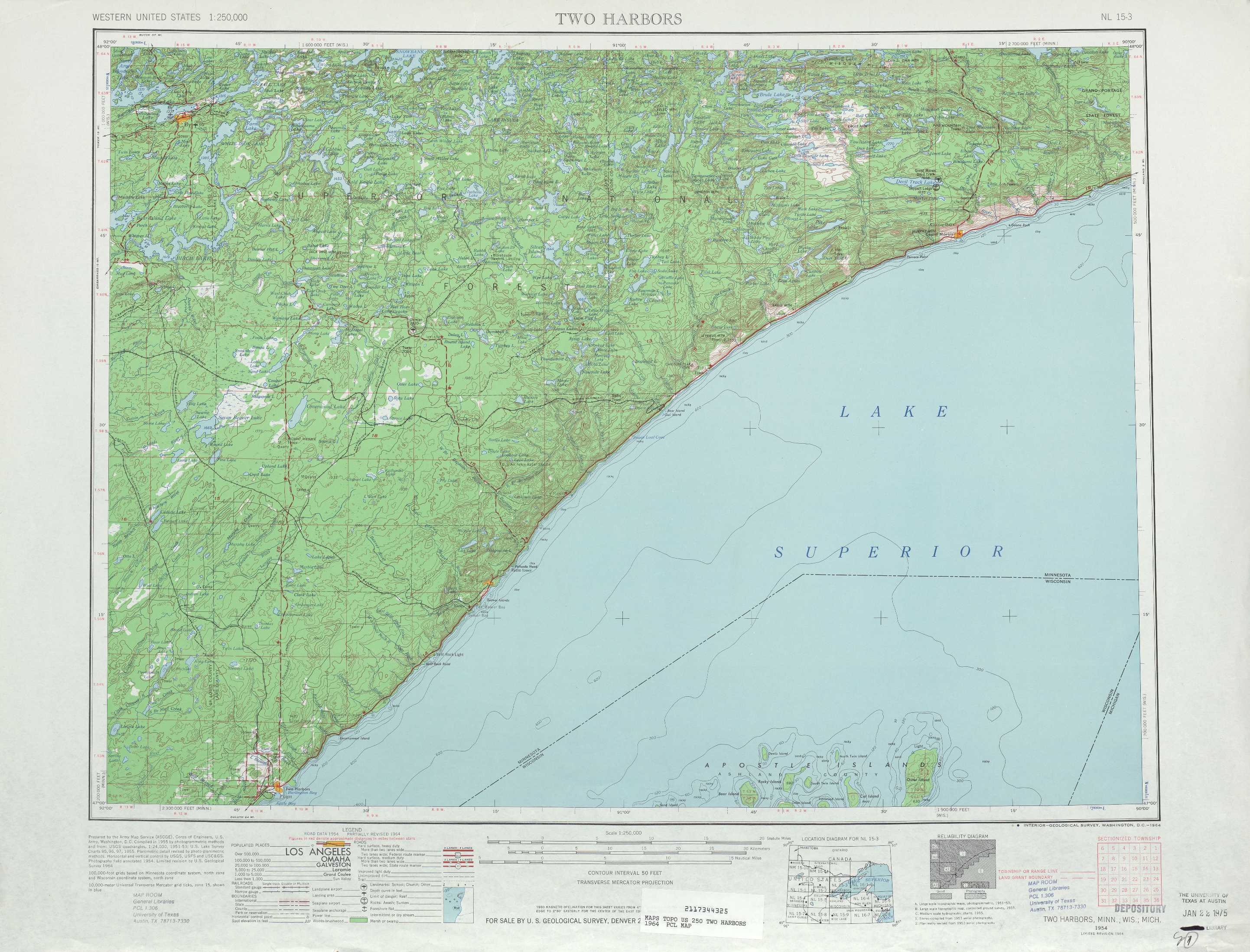
Two Harbors Topo Map Minnesota
To zoom in, hover over the map of Two Harbors
USGS Topo Map 47090a1 - 1:250,000 scale
| Topo Map Name: | Two Harbors |
| USGS Topo Quad ID: | 47090a1 |
| Print Size: | ca. 32" wide x 22 1/2" high |
| Southeast Coordinates: | 47° N latitude / 90° W longitude |
| Map Center Coordinates: | 47.5° N latitude / 91° W longitude |
| U.S. States: | MN, WI |
| Filename: | 47090a1.jpg |
| Download Map JPG Image: | Two Harbors topo map 1:250,000 scale |
| Map Type: | Topographic |
| Topo Series: | 1°x2° |
| Map Scale: | 1:250,000 |
| Source of Map Images: | United States Geological Survey (USGS) |
| Alternate Map Versions: |
Two Harbors MN 1954, updated 1975 Download PDF Buy paper map Two Harbors MN 1958 Download PDF Buy paper map Two Harbors MN 1964 Download PDF Buy paper map |
1:250,000 Topos surrounding Two Harbors
International Falls MN |
Quetico MN |
Thunder Bay MI, MN |
Hibbing MN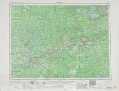 |
Two Harbors MN, WI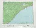 |
Hancock MI, MN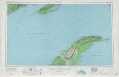 |
Duluth MN, WI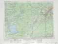 |
Ashland WI, MI, MN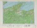 |
Iron River MI, WI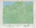 |
> Back to U.S. Topo Maps home
1:100,000 Topo Maps covered by the spatial extent of this 250k map (Two Harbors)
Ely MN |
Grand Marais MN |
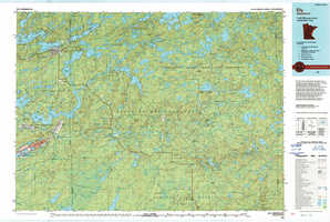
Two Harbors MN, WI |
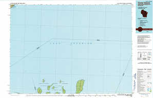
Outer Island WI, MN, MI |