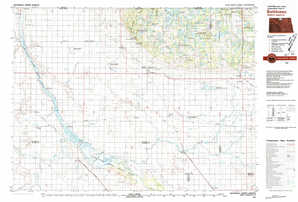
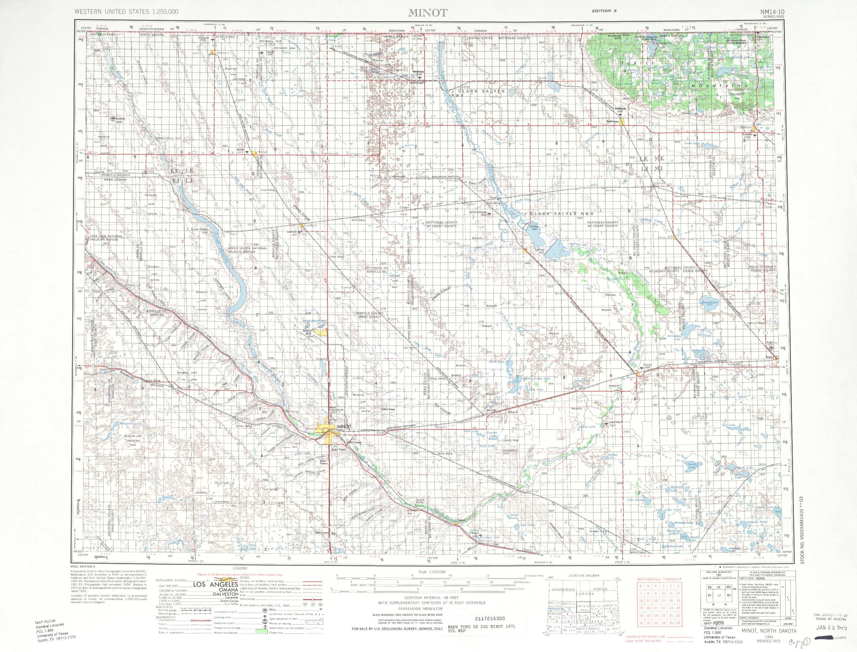
Minot Topo Map North Dakota
To zoom in, hover over the map of Minot
USGS Topo Map 48100a1 - 1:250,000 scale
| Topo Map Name: | Minot |
| USGS Topo Quad ID: | 48100a1 |
| Print Size: | ca. 32" wide x 22 1/2" high |
| Southeast Coordinates: | 48° N latitude / 100° W longitude |
| Map Center Coordinates: | 48.5° N latitude / 101° W longitude |
| U.S. State: | ND |
| Filename: | 48100a1.jpg |
| Download Map JPG Image: | Minot topo map 1:250,000 scale |
| Map Type: | Topographic |
| Topo Series: | 1°x2° |
| Map Scale: | 1:250,000 |
| Source of Map Images: | United States Geological Survey (USGS) |
| Alternate Map Versions: |
Minot ND 1954, updated 1964 Download PDF Buy paper map Minot ND 1954, updated 1974 Download PDF Buy paper map Minot ND 1954, updated 1986 Download PDF Buy paper map Minot ND 1958, updated 1958 Download PDF Buy paper map |
1:250,000 Topos surrounding Minot
Williston ND |
Minot ND |
Devils Lake ND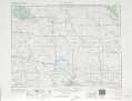 |
Watford City ND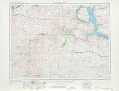 |
Mc Clusky ND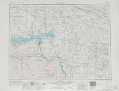 |
New Rockford ND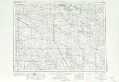 |
> Back to U.S. Topo Maps home
1:100,000 Topo Maps covered by the spatial extent of this 250k map (Minot)
Mohall ND |
Bottineau ND |
Minot ND |
Velva ND |