Mcallen Ranch Topo Map Texas
To zoom in, hover over the map of Mcallen Ranch
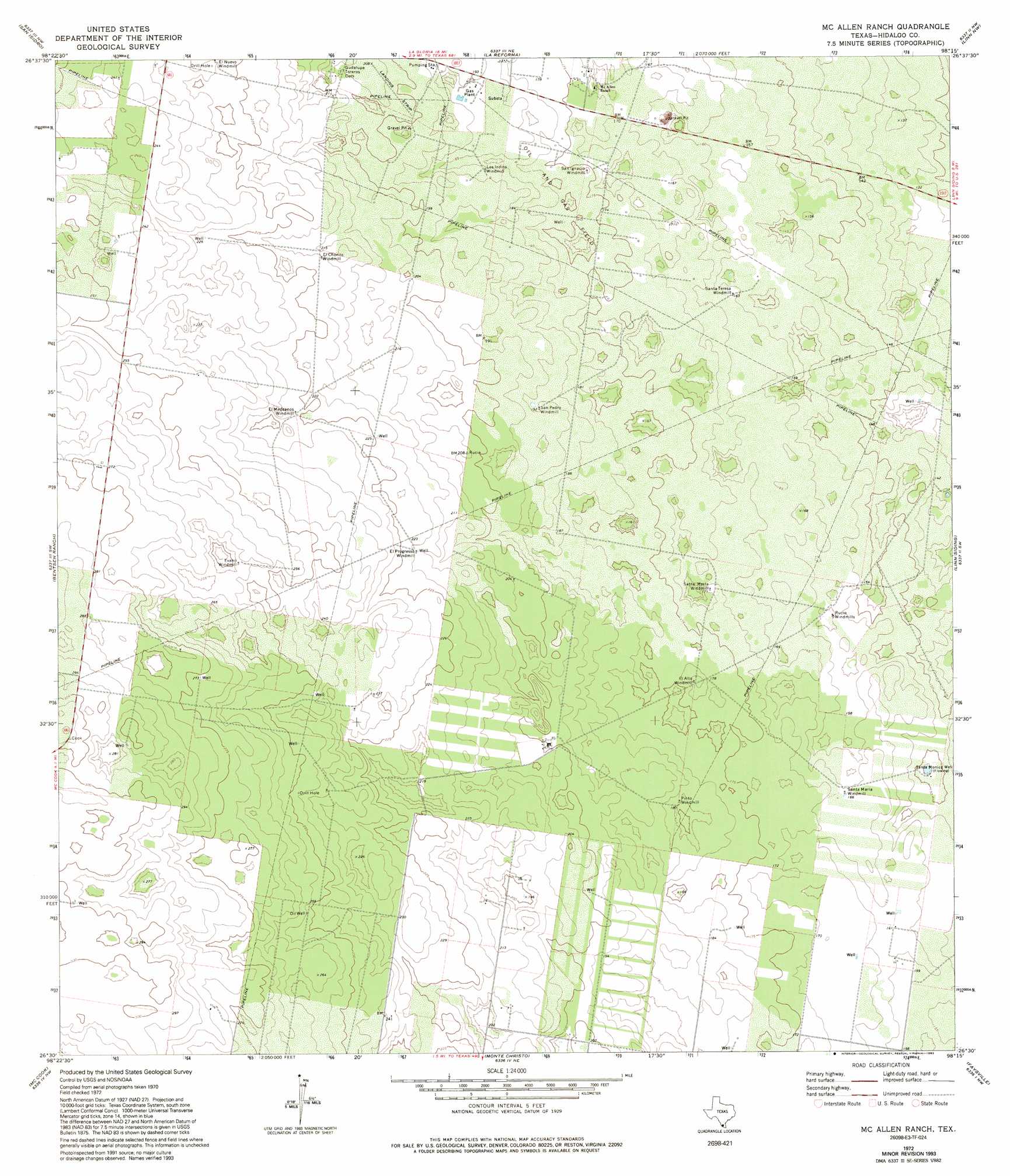
USGS Topo Quad 26098e3 - 1:24,000 scale
| Topo Map Name: | Mcallen Ranch |
| USGS Topo Quad ID: | 26098e3 |
| Print Size: | ca. 21 1/4" wide x 27" high |
| Southeast Coordinates: | 26.5° N latitude / 98.25° W longitude |
| Map Center Coordinates: | 26.5625° N latitude / 98.3125° W longitude |
| U.S. State: | TX |
| Filename: | o26098e3.jpg |
| Download Map JPG Image: | Mcallen Ranch topo map 1:24,000 scale |
| Map Type: | Topographic |
| Topo Series: | 7.5´ |
| Map Scale: | 1:24,000 |
| Source of Map Images: | United States Geological Survey (USGS) |
| Alternate Map Versions: |
McAllen Ranch TX 1972, updated 1975 Download PDF Buy paper map McAllen Ranch TX 1972, updated 1993 Download PDF Buy paper map McAllen Ranch TX 2010 Download PDF Buy paper map McAllen Ranch TX 2012 Download PDF Buy paper map McAllen Ranch TX 2016 Download PDF Buy paper map |
1:24,000 Topo Quads surrounding Mcallen Ranch
Agua Nueva Se |
Santa Elena |
Santa Elena Se |
Hartland |
Callo Padrones |
La Gloria |
San Isidro |
La Reforma |
Linn Nw |
Linn Ne |
Rincon |
Bentsen Ranch |
Mcallen Ranch |
Linn Siding |
Linn |
Camp Garcia |
Mccook |
Monte Christo |
Faysville |
Hargill |
Sullivan City |
Citrus City |
Alton |
Edinburg |
La Blanca |
> Back to 26098e1 at 1:100,000 scale
> Back to 26098a1 at 1:250,000 scale
> Back to U.S. Topo Maps home
Mcallen Ranch digital topo map on disk
Buy this Mcallen Ranch topo map showing relief, roads, GPS coordinates and other geographical features, as a high-resolution digital map file on DVD: