Palomas Ranch Topo Map Texas
To zoom in, hover over the map of Palomas Ranch
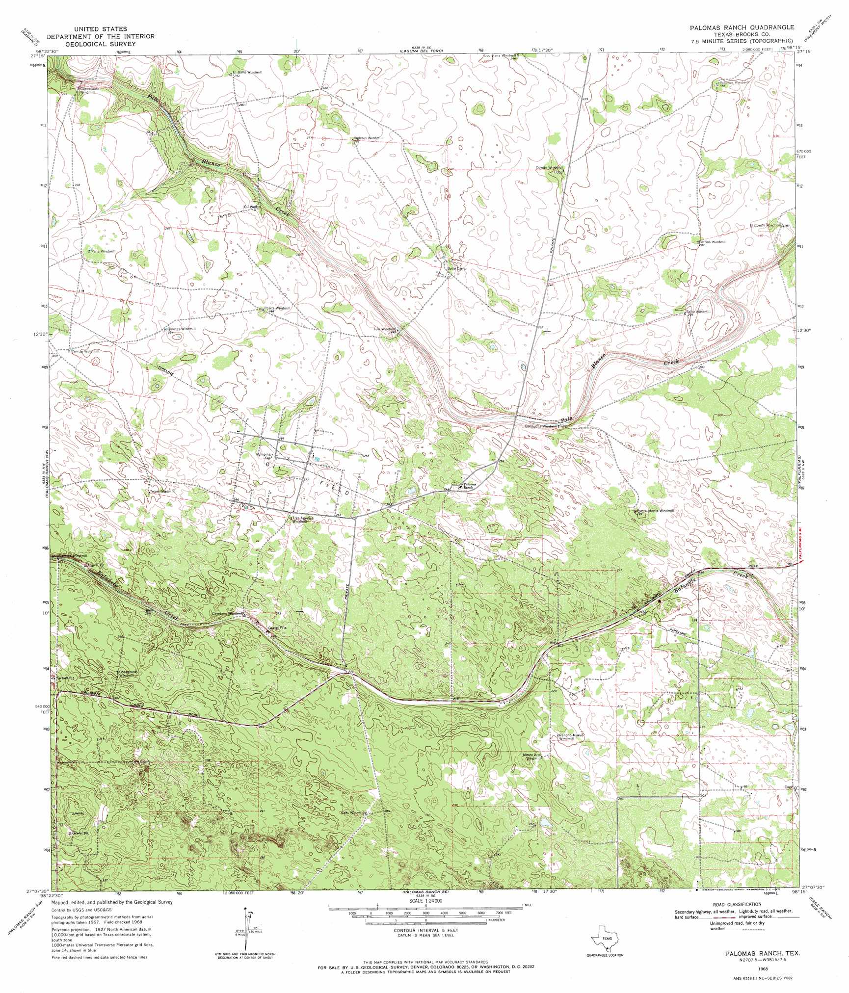
USGS Topo Quad 27098b3 - 1:24,000 scale
| Topo Map Name: | Palomas Ranch |
| USGS Topo Quad ID: | 27098b3 |
| Print Size: | ca. 21 1/4" wide x 27" high |
| Southeast Coordinates: | 27.125° N latitude / 98.25° W longitude |
| Map Center Coordinates: | 27.1875° N latitude / 98.3125° W longitude |
| U.S. State: | TX |
| Filename: | o27098b3.jpg |
| Download Map JPG Image: | Palomas Ranch topo map 1:24,000 scale |
| Map Type: | Topographic |
| Topo Series: | 7.5´ |
| Map Scale: | 1:24,000 |
| Source of Map Images: | United States Geological Survey (USGS) |
| Alternate Map Versions: |
Palomas Ranch TX 1968, updated 1971 Download PDF Buy paper map Palomas Ranch TX 2010 Download PDF Buy paper map Palomas Ranch TX 2013 Download PDF Buy paper map Palomas Ranch TX 2016 Download PDF Buy paper map |
1:24,000 Topo Quads surrounding Palomas Ranch
Realitos |
Concepcion Nw |
Concepcion |
Seeligson Ranch |
Ella |
Hebbronville Se |
Ramirez |
Laguna Del Toro |
Premont West |
Premont East |
Baluarte Ranch |
Palomas Ranch Nw |
Palomas Ranch |
Falfurrias |
Flowella |
Alta Vista Ranch |
Palomas Ranch Sw |
Palomas Ranch Se |
Cage Ranch |
Falfurrias Se |
Agua Nueva |
Santa Elena Nw |
Tacubaya |
Encino |
San Tomas Camp |
> Back to 27098a1 at 1:100,000 scale
> Back to 27098a1 at 1:250,000 scale
> Back to U.S. Topo Maps home
No gazetteer data is available for the Palomas Ranch topo map sheet.
Palomas Ranch digital topo map on disk
Buy this Palomas Ranch topo map showing relief, roads, GPS coordinates and other geographical features, as a high-resolution digital map file on DVD: