Mills Bennett Topo Map Texas
To zoom in, hover over the map of Mills Bennett
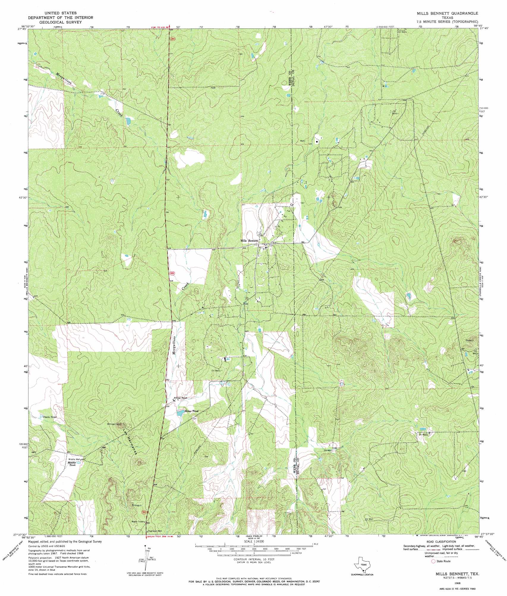
USGS Topo Quad 27098f7 - 1:24,000 scale
| Topo Map Name: | Mills Bennett |
| USGS Topo Quad ID: | 27098f7 |
| Print Size: | ca. 21 1/4" wide x 27" high |
| Southeast Coordinates: | 27.625° N latitude / 98.75° W longitude |
| Map Center Coordinates: | 27.6875° N latitude / 98.8125° W longitude |
| U.S. State: | TX |
| Filename: | o27098f7.jpg |
| Download Map JPG Image: | Mills Bennett topo map 1:24,000 scale |
| Map Type: | Topographic |
| Topo Series: | 7.5´ |
| Map Scale: | 1:24,000 |
| Source of Map Images: | United States Geological Survey (USGS) |
| Alternate Map Versions: |
Mills Bennett TX 1968, updated 1971 Download PDF Buy paper map Mills Bennett TX 2010 Download PDF Buy paper map Mills Bennett TX 2013 Download PDF Buy paper map Mills Bennett TX 2016 Download PDF Buy paper map |
1:24,000 Topo Quads surrounding Mills Bennett
Alamito Creek Ne |
Biel Lake North |
Biel Lake Ne |
Freer Nw |
Freer North |
Alamito Creek |
Biel Lake South |
Biel Lake Se |
Sarnosa Hill |
Freer South |
Piedra Parada Ranch |
Mills Bennett Nw |
Mills Bennett |
Parrilla Creek Nw |
Parrilla Creek Ne |
Shipp Ranch |
Mills Bennett Sw |
San Pablo |
Parrilla Creek Sw |
Parrilla Creek Se |
Mirando City |
Oilton |
Bruni |
Hebbronville Nw |
Realitos |
> Back to 27098e1 at 1:100,000 scale
> Back to 27098a1 at 1:250,000 scale
> Back to U.S. Topo Maps home
Mills Bennett topo map: Gazetteer
Mills Bennett: Oilfields
Lopez Oil Field elevation 178m 583′Mills Bennett: Reservoirs
Charo Tank elevation 194m 636′Home Tank elevation 216m 708′
Middle Tank elevation 204m 669′
Mills Bennett: Summits
Las Hermanas elevation 254m 833′Mills Bennett: Wells
Middle Well elevation 204m 669′Mills Bennett digital topo map on disk
Buy this Mills Bennett topo map showing relief, roads, GPS coordinates and other geographical features, as a high-resolution digital map file on DVD: