Carancahua Pass Topo Map Texas
To zoom in, hover over the map of Carancahua Pass
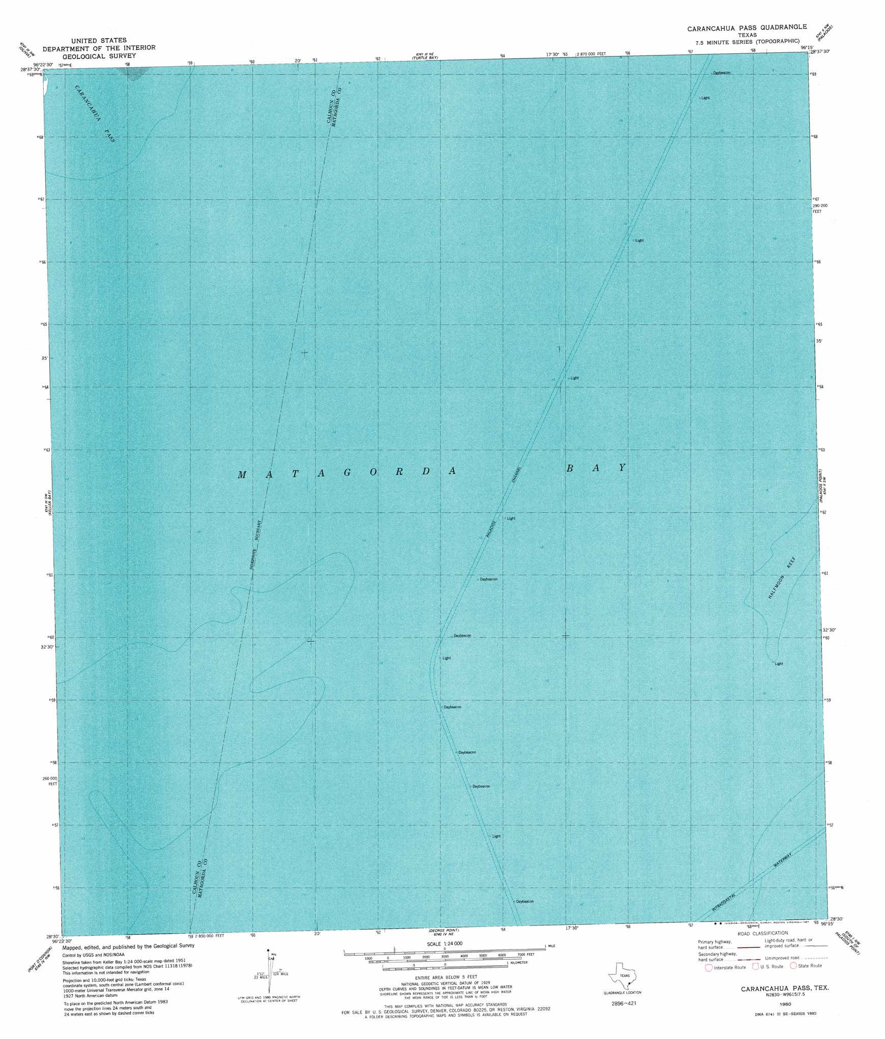
USGS Topo Quad 28096e3 - 1:24,000 scale
| Topo Map Name: | Carancahua Pass |
| USGS Topo Quad ID: | 28096e3 |
| Print Size: | ca. 21 1/4" wide x 27" high |
| Southeast Coordinates: | 28.5° N latitude / 96.25° W longitude |
| Map Center Coordinates: | 28.5625° N latitude / 96.3125° W longitude |
| U.S. State: | TX |
| Filename: | o28096e3.jpg |
| Download Map JPG Image: | Carancahua Pass topo map 1:24,000 scale |
| Map Type: | Topographic |
| Topo Series: | 7.5´ |
| Map Scale: | 1:24,000 |
| Source of Map Images: | United States Geological Survey (USGS) |
| Alternate Map Versions: |
Carancahua Pass TX 1980, updated 1981 Download PDF Buy paper map Carancahua Pass TX 2010 Download PDF Buy paper map Carancahua Pass TX 2013 Download PDF Buy paper map Carancahua Pass TX 2016 Download PDF Buy paper map |
1:24,000 Topo Quads surrounding Carancahua Pass
Lolita |
La Ward |
Francitas |
Blessing |
Blessing Se |
Point Comfort |
Olivia |
Turtle Bay |
Palacios |
Palacios Ne |
Port Lavaca East |
Keller Bay |
Carancahua Pass |
Palacios Point |
Palacios Se |
Seadrift Ne |
Port O'Connor |
Decros Point |
South Of Palacios Point |
|
Long Island |
Pass Cavallo Sw |
> Back to 28096e1 at 1:100,000 scale
> Back to 28096a1 at 1:250,000 scale
> Back to U.S. Topo Maps home
No gazetteer data is available for the Carancahua Pass topo map sheet.
Carancahua Pass digital topo map on disk
Buy this Carancahua Pass topo map showing relief, roads, GPS coordinates and other geographical features, as a high-resolution digital map file on DVD: