Keller Bay Topo Map Texas
To zoom in, hover over the map of Keller Bay
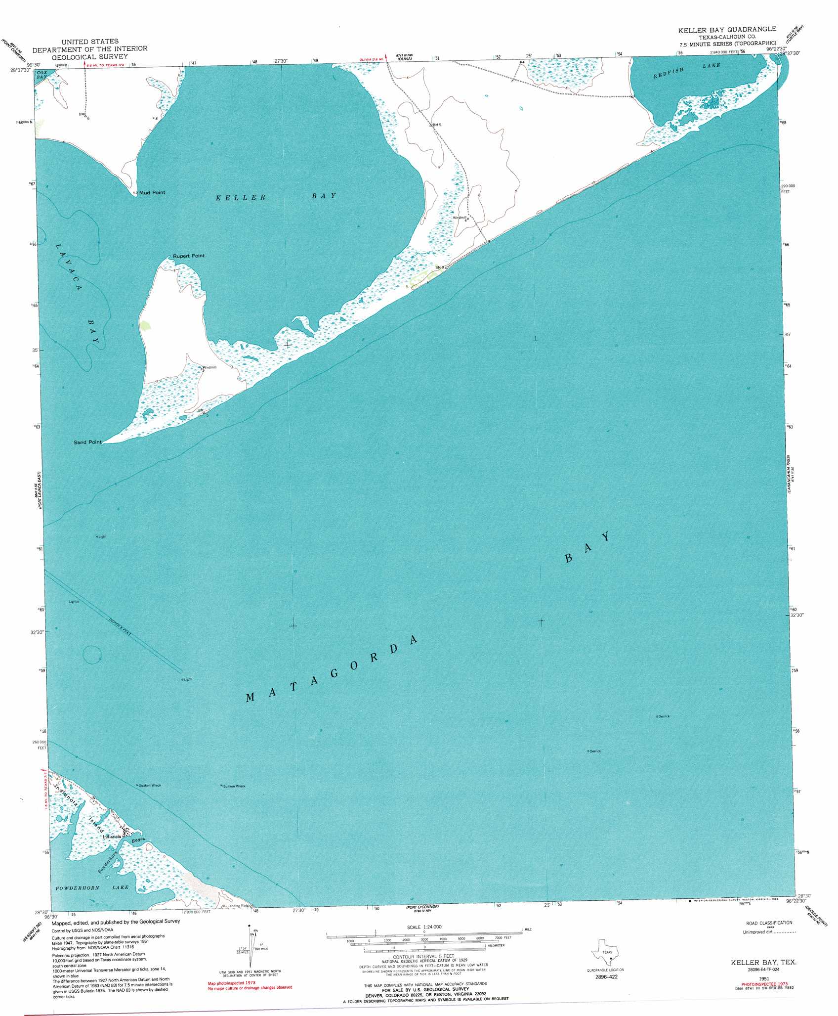
USGS Topo Quad 28096e4 - 1:24,000 scale
| Topo Map Name: | Keller Bay |
| USGS Topo Quad ID: | 28096e4 |
| Print Size: | ca. 21 1/4" wide x 27" high |
| Southeast Coordinates: | 28.5° N latitude / 96.375° W longitude |
| Map Center Coordinates: | 28.5625° N latitude / 96.4375° W longitude |
| U.S. State: | TX |
| Filename: | o28096e4.jpg |
| Download Map JPG Image: | Keller Bay topo map 1:24,000 scale |
| Map Type: | Topographic |
| Topo Series: | 7.5´ |
| Map Scale: | 1:24,000 |
| Source of Map Images: | United States Geological Survey (USGS) |
| Alternate Map Versions: |
Keller Bay TX 1951, updated 1953 Download PDF Buy paper map Keller Bay TX 1951, updated 1963 Download PDF Buy paper map Keller Bay TX 1951, updated 1983 Download PDF Buy paper map Keller Bay TX 1951, updated 1992 Download PDF Buy paper map Keller Bay TX 2010 Download PDF Buy paper map Keller Bay TX 2013 Download PDF Buy paper map Keller Bay TX 2016 Download PDF Buy paper map |
1:24,000 Topo Quads surrounding Keller Bay
La Salle |
Lolita |
La Ward |
Francitas |
Blessing |
Kamey |
Point Comfort |
Olivia |
Turtle Bay |
Palacios |
Port Lavaca West |
Port Lavaca East |
Keller Bay |
Carancahua Pass |
Palacios Point |
Seadrift |
Seadrift Ne |
Port O'Connor |
Decros Point |
South Of Palacios Point |
Mosquito Point |
Long Island |
Pass Cavallo Sw |
> Back to 28096e1 at 1:100,000 scale
> Back to 28096a1 at 1:250,000 scale
> Back to U.S. Topo Maps home
Keller Bay topo map: Gazetteer
Keller Bay: Bays
Keller Bay elevation 0m 0′Keller Bay: Capes
Mud Point elevation 0m 0′Rupert Point elevation 0m 0′
Sand Point elevation 0m 0′
Keller Bay: Channels
Powderhorn Bayou elevation 0m 0′Keller Bay: Islands
Indianola Island elevation 1m 3′Keller Bay: Lakes
Redfish Lake elevation 0m 0′Keller Bay: Populated Places
Indianola elevation 0m 0′Keller Bay digital topo map on disk
Buy this Keller Bay topo map showing relief, roads, GPS coordinates and other geographical features, as a high-resolution digital map file on DVD: