Francitas Topo Map Texas
To zoom in, hover over the map of Francitas
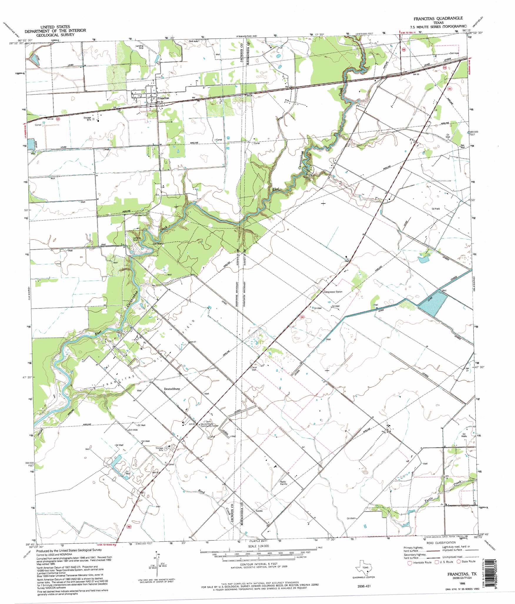
USGS Topo Quad 28096g3 - 1:24,000 scale
| Topo Map Name: | Francitas |
| USGS Topo Quad ID: | 28096g3 |
| Print Size: | ca. 21 1/4" wide x 27" high |
| Southeast Coordinates: | 28.75° N latitude / 96.25° W longitude |
| Map Center Coordinates: | 28.8125° N latitude / 96.3125° W longitude |
| U.S. State: | TX |
| Filename: | o28096g3.jpg |
| Download Map JPG Image: | Francitas topo map 1:24,000 scale |
| Map Type: | Topographic |
| Topo Series: | 7.5´ |
| Map Scale: | 1:24,000 |
| Source of Map Images: | United States Geological Survey (USGS) |
| Alternate Map Versions: |
Francitas TX 1952, updated 1953 Download PDF Buy paper map Francitas TX 1952, updated 1976 Download PDF Buy paper map Francitas TX 1995, updated 1995 Download PDF Buy paper map Francitas TX 2010 Download PDF Buy paper map Francitas TX 2013 Download PDF Buy paper map Francitas TX 2016 Download PDF Buy paper map |
1:24,000 Topo Quads surrounding Francitas
Ganado |
Louise |
El Campo Se |
Danevang |
Lane City Se |
Manson |
Francitas Nw |
Francitas Ne |
Midfield |
Markham |
Lolita |
La Ward |
Francitas |
Blessing |
Blessing Se |
Point Comfort |
Olivia |
Turtle Bay |
Palacios |
Palacios Ne |
Port Lavaca East |
Keller Bay |
Carancahua Pass |
Palacios Point |
Palacios Se |
> Back to 28096e1 at 1:100,000 scale
> Back to 28096a1 at 1:250,000 scale
> Back to U.S. Topo Maps home
Francitas topo map: Gazetteer
Francitas: Airports
Kubecka Aviation Airport elevation 5m 16′Francitas: Oilfields
Francitas Oil Field elevation 8m 26′Francitas: Populated Places
Francitas elevation 11m 36′Francitas digital topo map on disk
Buy this Francitas topo map showing relief, roads, GPS coordinates and other geographical features, as a high-resolution digital map file on DVD: