Belle Pass Topo Map Louisiana
To zoom in, hover over the map of Belle Pass
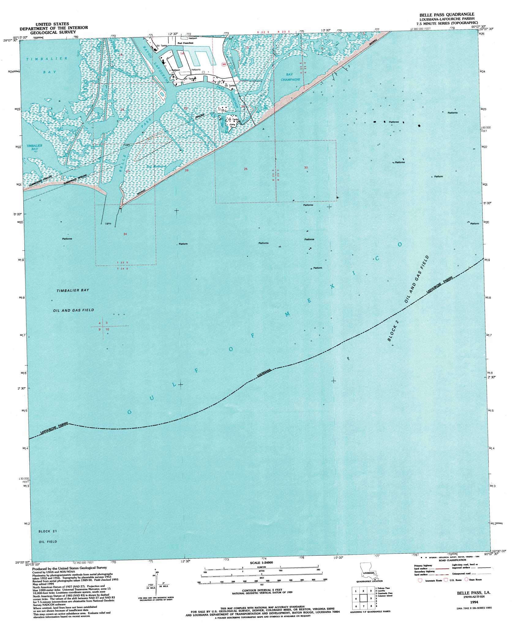
USGS Topo Quad 29090a2 - 1:24,000 scale
| Topo Map Name: | Belle Pass |
| USGS Topo Quad ID: | 29090a2 |
| Print Size: | ca. 21 1/4" wide x 27" high |
| Southeast Coordinates: | 29° N latitude / 90.125° W longitude |
| Map Center Coordinates: | 29.0625° N latitude / 90.1875° W longitude |
| U.S. State: | LA |
| Filename: | o29090a2.jpg |
| Download Map JPG Image: | Belle Pass topo map 1:24,000 scale |
| Map Type: | Topographic |
| Topo Series: | 7.5´ |
| Map Scale: | 1:24,000 |
| Source of Map Images: | United States Geological Survey (USGS) |
| Alternate Map Versions: |
Belle Pass LA 1953, updated 1959 Download PDF Buy paper map Belle Pass LA 1953, updated 1964 Download PDF Buy paper map Belle Pass LA 1953, updated 1975 Download PDF Buy paper map Belle Pass LA 1953, updated 1980 Download PDF Buy paper map Belle Pass LA 1994, updated 1994 Download PDF Buy paper map Belle Pass LA 1998, updated 2002 Download PDF Buy paper map Belle Pass LA 2012 Download PDF Buy paper map Belle Pass LA 2015 Download PDF Buy paper map |
1:24,000 Topo Quads surrounding Belle Pass
Lake Felicity |
Bay Courant |
Mink Bayou |
Bay Tambour |
Barataria Pass |
Jacko Bay |
Pelican Pass |
Leeville |
Caminada Pass |
Grand Isle |
Timbalier Island |
Calumet Island |
Belle Pass |
||
> Back to 29090a1 at 1:100,000 scale
> Back to 29090a1 at 1:250,000 scale
> Back to U.S. Topo Maps home
Belle Pass topo map: Gazetteer
Belle Pass: Airports
Air Logistics Heliport elevation 2m 6′Air Logistics Martin Docks Heliport elevation 1m 3′
Amoco Fourchon Heliport elevation 1m 3′
Bayou Fourchon Seaplane Base elevation 0m 0′
Chevron Fourchon Heliport elevation 0m 0′
Era Helicopters Fourchon Helibase elevation 2m 6′
Nl Baroid Heliport elevation 1m 3′
Belle Pass: Bays
Bay Marchand elevation 1m 3′Belle Pass: Canals
Evans Canal elevation 1m 3′Belle Pass: Channels
Belle Pass elevation 0m 0′Pass Fourchon elevation 0m 0′
Belle Pass: Guts
Bayou Tartellon elevation 1m 3′Belle Pass: Lakes
Bay Champagne elevation 0m 0′Belle Pass: Oilfields
Block 25 Oil and Gas Field elevation 0m 0′Timbalier Bay Oil and Gas Field elevation 0m 0′
Belle Pass: Populated Places
Port Fourchon elevation 0m 0′Belle Pass: Streams
Bayou Lafourche elevation 0m 0′Belle Pass digital topo map on disk
Buy this Belle Pass topo map showing relief, roads, GPS coordinates and other geographical features, as a high-resolution digital map file on DVD: