Lake Point Topo Map Louisiana
To zoom in, hover over the map of Lake Point
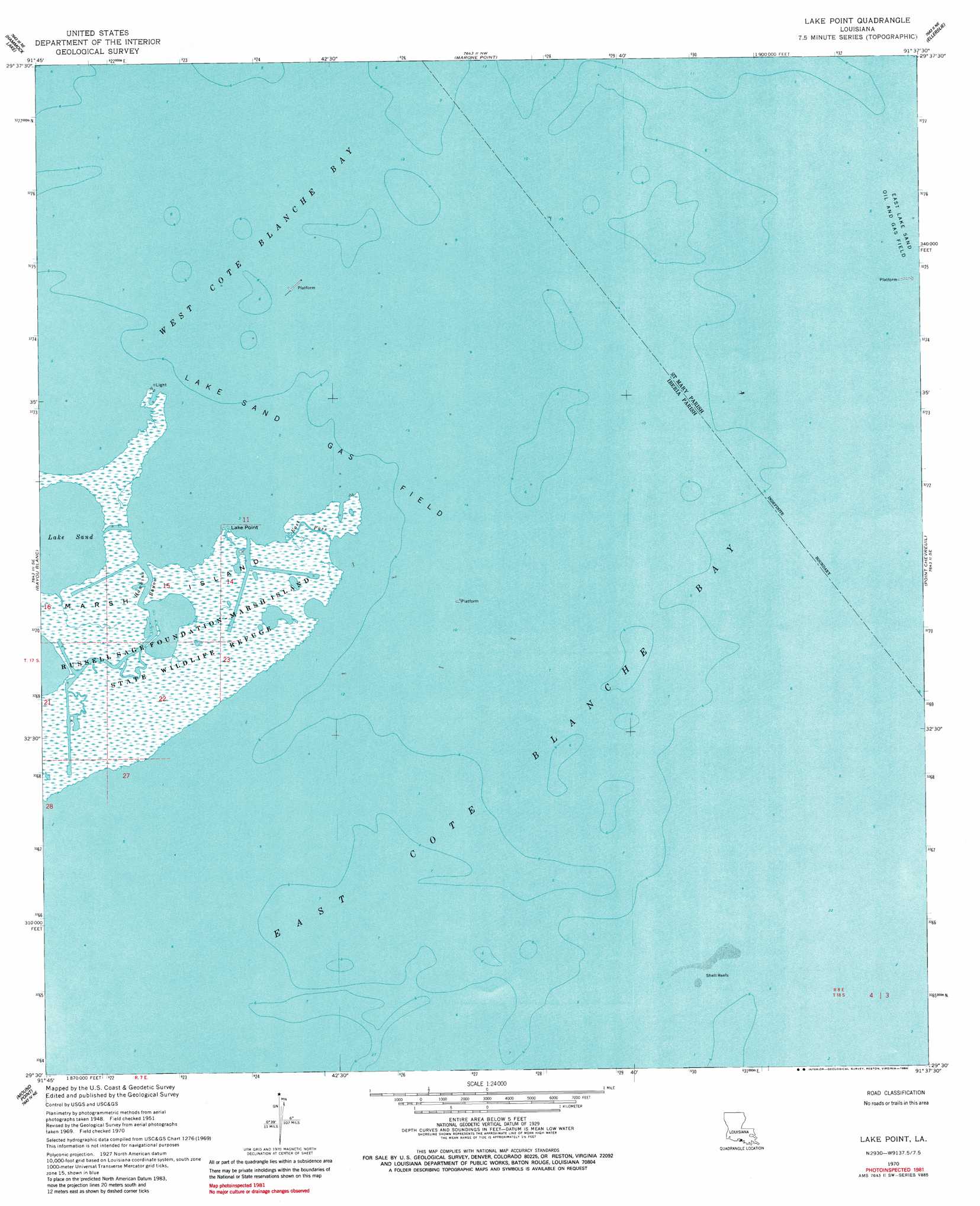
USGS Topo Quad 29091e6 - 1:24,000 scale
| Topo Map Name: | Lake Point |
| USGS Topo Quad ID: | 29091e6 |
| Print Size: | ca. 21 1/4" wide x 27" high |
| Southeast Coordinates: | 29.5° N latitude / 91.625° W longitude |
| Map Center Coordinates: | 29.5625° N latitude / 91.6875° W longitude |
| U.S. State: | LA |
| Filename: | o29091e6.jpg |
| Download Map JPG Image: | Lake Point topo map 1:24,000 scale |
| Map Type: | Topographic |
| Topo Series: | 7.5´ |
| Map Scale: | 1:24,000 |
| Source of Map Images: | United States Geological Survey (USGS) |
| Alternate Map Versions: |
Lake Point LA 1951, updated 1952 Download PDF Buy paper map Lake Point LA 1951, updated 1958 Download PDF Buy paper map Lake Point LA 1970, updated 1972 Download PDF Buy paper map Lake Point LA 1970, updated 1984 Download PDF Buy paper map Lake Point LA 2012 Download PDF Buy paper map Lake Point LA 2015 Download PDF Buy paper map |
1:24,000 Topo Quads surrounding Lake Point
Tigre Lagoon |
Weeks |
Kemper |
Franklin |
Centerville |
Cypremort Point |
Hammock Lake |
Marone Point |
Ellerslie |
North Bend |
Bayou Lucien |
Bayou Blanc |
Lake Point |
Point Chevreuil |
Belle Isle |
Mound Point |
||||
> Back to 29091e1 at 1:100,000 scale
> Back to 29090a1 at 1:250,000 scale
> Back to U.S. Topo Maps home
Lake Point topo map: Gazetteer
Lake Point: Airports
East Cote Blanche Bay Heliport elevation 0m 0′Lake Point: Bays
East Cote Blanche Bay elevation 0m 0′Lake Point: Capes
Lake Point elevation 0m 0′Lake Point: Channels
East Pass elevation 0m 0′Lake Point: Guts
Hawkins Bayou elevation 0m 0′Lake Point: Oilfields
East Lake Sand Oil and Gas Field elevation 0m 0′Lake Sand Gas Field elevation 0m 0′
Lake Point digital topo map on disk
Buy this Lake Point topo map showing relief, roads, GPS coordinates and other geographical features, as a high-resolution digital map file on DVD: