Greens Bayou Topo Map Louisiana
To zoom in, hover over the map of Greens Bayou
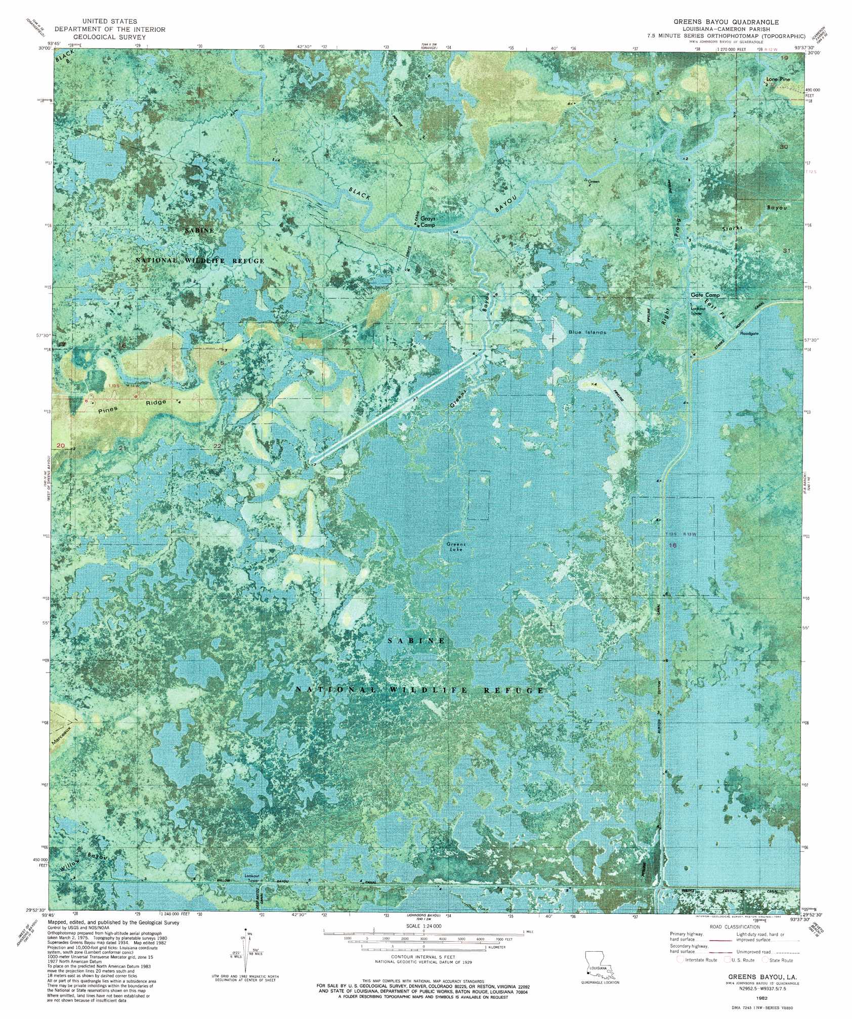
USGS Topo Quad 29093h6 - 1:24,000 scale
| Topo Map Name: | Greens Bayou |
| USGS Topo Quad ID: | 29093h6 |
| Print Size: | ca. 21 1/4" wide x 27" high |
| Southeast Coordinates: | 29.875° N latitude / 93.625° W longitude |
| Map Center Coordinates: | 29.9375° N latitude / 93.6875° W longitude |
| U.S. State: | LA |
| Filename: | p29093h6.jpg |
| Download Map JPG Image: | Greens Bayou topo map 1:24,000 scale |
| Map Type: | Orthophoto |
| Topo Series: | 7.5´ |
| Map Scale: | 1:24,000 |
| Source of Map Images: | United States Geological Survey (USGS) |
| Alternate Map Versions: |
Greens Bayou LA 1934, updated 1960 Download PDF Buy paper map Greens Bayou LA 1934, updated 1963 Download PDF Buy paper map Greens Bayou LA 1982, updated 1982 Download PDF Buy paper map Greens Bayou LA 2012 Download PDF Buy paper map Greens Bayou LA 2015 Download PDF Buy paper map |
1:24,000 Topo Quads surrounding Greens Bayou
Texla |
Mauriceville |
Echo |
Vinton |
Sulphur |
Terry |
Orangefield |
Orange |
Cameron Farms |
Black Lake |
Port Arthur North |
West Of Greens Bayou |
Greens Bayou |
Five Lakes |
Browns Lake |
Port Arthur South |
West Of Johnsons Bayou |
Johnsons Bayou |
Peveto Beach |
Holly Beach |
Sabine Pass |
Texas Point |
Smith Bayou |
> Back to 29093e1 at 1:100,000 scale
> Back to 29092a1 at 1:250,000 scale
> Back to U.S. Topo Maps home
Greens Bayou topo map: Gazetteer
Greens Bayou: Canals
Burton Sutton Canal elevation 0m 0′Grays Canal elevation 0m 0′
Willow Bayou Canal elevation 0m 0′
Greens Bayou: Islands
Blue Islands elevation 1m 3′Greens Bayou: Lakes
Greens Lake elevation 0m 0′Greens Bayou: Populated Places
Lone Pine elevation 1m 3′Greens Bayou: Ridges
Pines Ridge elevation 1m 3′Greens Bayou: Streams
East Fork of Right Prong Black Bayou elevation 1m 3′Greens Bayou elevation 0m 0′
Right Prong Black Bayou elevation 0m 0′
Starks Bayou elevation 0m 0′
Greens Bayou digital topo map on disk
Buy this Greens Bayou topo map showing relief, roads, GPS coordinates and other geographical features, as a high-resolution digital map file on DVD: