Port Bolivar Topo Map Texas
To zoom in, hover over the map of Port Bolivar
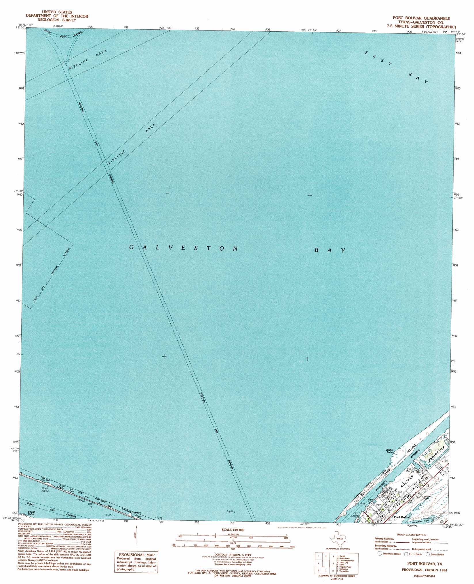
USGS Topo Quad 29094d7 - 1:24,000 scale
| Topo Map Name: | Port Bolivar |
| USGS Topo Quad ID: | 29094d7 |
| Print Size: | ca. 21 1/4" wide x 27" high |
| Southeast Coordinates: | 29.375° N latitude / 94.75° W longitude |
| Map Center Coordinates: | 29.4375° N latitude / 94.8125° W longitude |
| U.S. State: | TX |
| Filename: | o29094d7.jpg |
| Download Map JPG Image: | Port Bolivar topo map 1:24,000 scale |
| Map Type: | Topographic |
| Topo Series: | 7.5´ |
| Map Scale: | 1:24,000 |
| Source of Map Images: | United States Geological Survey (USGS) |
| Alternate Map Versions: |
Bolivar Point TX 1932 Download PDF Buy paper map Port Bolivar TX 1943, updated 1952 Download PDF Buy paper map Port Bolivar TX 1954, updated 1958 Download PDF Buy paper map Port Bolivar TX 1954, updated 1968 Download PDF Buy paper map Port Bolivar TX 1954, updated 1970 Download PDF Buy paper map Port Bolivar TX 1954, updated 1977 Download PDF Buy paper map Port Bolivar TX 1994, updated 1994 Download PDF Buy paper map Port Bolivar TX 2010 Download PDF Buy paper map Port Bolivar TX 2013 Download PDF Buy paper map Port Bolivar TX 2016 Download PDF Buy paper map |
1:24,000 Topo Quads surrounding Port Bolivar
La Porte |
Morgan Point |
Umbrella Point |
Oak Island |
Oyster Bayou |
League City |
Bacliff |
Smith Point |
Lake Stephenson |
Frozen Point |
Dickinson |
Texas City |
Port Bolivar |
Flake |
Caplen |
Hitchcock |
Virginia Point |
Galveston |
The Jetties |
|
Sea Isle |
Lake Como |
> Back to 29094a1 at 1:100,000 scale
> Back to 29094a1 at 1:250,000 scale
> Back to U.S. Topo Maps home
Port Bolivar topo map: Gazetteer
Port Bolivar: Airports
Houston Oil and Minerals Port Bolivar Heliport elevation 1m 3′Houston Oil and Minerals Port Bolivar Number 2 Heliport elevation 1m 3′
Port Bolivar: Bars
Halfmoon Shoal elevation 0m 0′Hanna Reef elevation 0m 0′
Port Bolivar: Capes
Baffle Point elevation 1m 3′Port Bolivar: Dams
Texas City Dike elevation 0m 0′Port Bolivar: Islands
Hanna Island elevation 0m 0′Port Bolivar: Lakes
Oyster Lake elevation 2m 6′Port Bolivar: Populated Places
Port Bolivar elevation 2m 6′Port Bolivar digital topo map on disk
Buy this Port Bolivar topo map showing relief, roads, GPS coordinates and other geographical features, as a high-resolution digital map file on DVD: