Brookshire Topo Map Texas
To zoom in, hover over the map of Brookshire
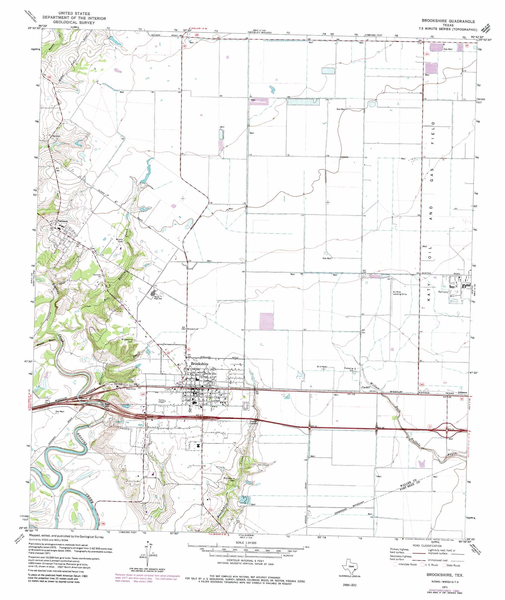
USGS Topo Quad 29095g8 - 1:24,000 scale
| Topo Map Name: | Brookshire |
| USGS Topo Quad ID: | 29095g8 |
| Print Size: | ca. 21 1/4" wide x 27" high |
| Southeast Coordinates: | 29.75° N latitude / 95.875° W longitude |
| Map Center Coordinates: | 29.8125° N latitude / 95.9375° W longitude |
| U.S. State: | TX |
| Filename: | o29095g8.jpg |
| Download Map JPG Image: | Brookshire topo map 1:24,000 scale |
| Map Type: | Topographic |
| Topo Series: | 7.5´ |
| Map Scale: | 1:24,000 |
| Source of Map Images: | United States Geological Survey (USGS) |
| Alternate Map Versions: |
Brookshire TX 1971, updated 1973 Download PDF Buy paper map Brookshire TX 1971, updated 1980 Download PDF Buy paper map Brookshire TX 2010 Download PDF Buy paper map Brookshire TX 2013 Download PDF Buy paper map Brookshire TX 2016 Download PDF Buy paper map |
1:24,000 Topo Quads surrounding Brookshire
Buckhorn |
Hempstead |
Waller |
Hockley |
Rose Hill |
Burleigh |
Sunny Side |
Hockley Mound |
Warren Lake |
Cypress |
Sealy |
San Felipe |
Brookshire |
Katy |
Addicks |
Rexville |
Wallis |
Fulshear |
Richmond Ne |
Clodine |
Lissie |
East Bernard |
Orchard |
Richmond |
Sugar Land |
> Back to 29095e1 at 1:100,000 scale
> Back to 29094a1 at 1:250,000 scale
> Back to U.S. Topo Maps home
Brookshire topo map: Gazetteer
Brookshire: Airports
Air Rice Airport elevation 50m 164′Jordan Farms Airport elevation 48m 157′
Sport Flyers Airport elevation 54m 177′
Woods Airport elevation 49m 160′
Woods Number 2 Airport elevation 49m 160′
Brookshire: Populated Places
Brookshire elevation 49m 160′Cardiff elevation 48m 157′
Johnsue elevation 48m 157′
Pattison elevation 52m 170′
Brookshire: Streams
Bell Bottom Creek elevation 34m 111′Kellner Creek elevation 34m 111′
Brookshire digital topo map on disk
Buy this Brookshire topo map showing relief, roads, GPS coordinates and other geographical features, as a high-resolution digital map file on DVD: