Sheridan Se Topo Map Texas
To zoom in, hover over the map of Sheridan Se
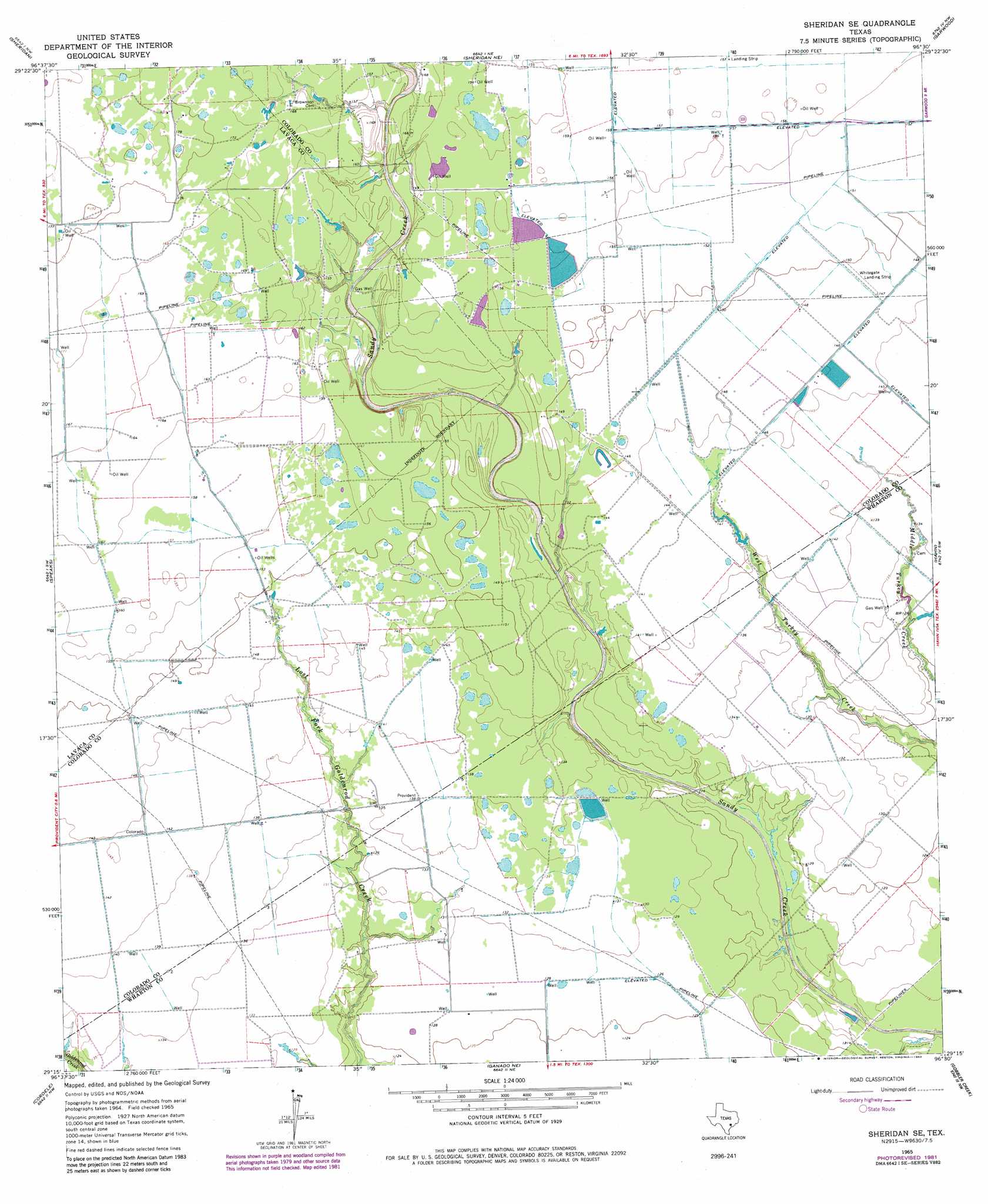
USGS Topo Quad 29096c5 - 1:24,000 scale
| Topo Map Name: | Sheridan Se |
| USGS Topo Quad ID: | 29096c5 |
| Print Size: | ca. 21 1/4" wide x 27" high |
| Southeast Coordinates: | 29.25° N latitude / 96.5° W longitude |
| Map Center Coordinates: | 29.3125° N latitude / 96.5625° W longitude |
| U.S. State: | TX |
| Filename: | o29096c5.jpg |
| Download Map JPG Image: | Sheridan Se topo map 1:24,000 scale |
| Map Type: | Topographic |
| Topo Series: | 7.5´ |
| Map Scale: | 1:24,000 |
| Source of Map Images: | United States Geological Survey (USGS) |
| Alternate Map Versions: |
Sheridan SE TX 1965, updated 1967 Download PDF Buy paper map Sheridan SE TX 1965, updated 1983 Download PDF Buy paper map Sheridan SE TX 2010 Download PDF Buy paper map Sheridan SE TX 2013 Download PDF Buy paper map Sheridan SE TX 2016 Download PDF Buy paper map |
1:24,000 Topo Quads surrounding Sheridan Se
Oakland |
Sawmill Branch |
Rock Island |
Altair |
Eagle Lake |
Sublime |
Sheridan |
Sheridan Ne |
Garwood |
Bonus |
Hallettsville Se |
Speaks |
Sheridan Se |
Hahn |
New Taiton |
Morales |
Cordele |
Ganado Ne |
Gobbler Creek |
El Campo |
Navidad |
Mount Olive |
Ganado |
Louise |
El Campo Se |
> Back to 29096a1 at 1:100,000 scale
> Back to 29096a1 at 1:250,000 scale
> Back to U.S. Topo Maps home
Sheridan Se digital topo map on disk
Buy this Sheridan Se topo map showing relief, roads, GPS coordinates and other geographical features, as a high-resolution digital map file on DVD: