New Davy Topo Map Texas
To zoom in, hover over the map of New Davy
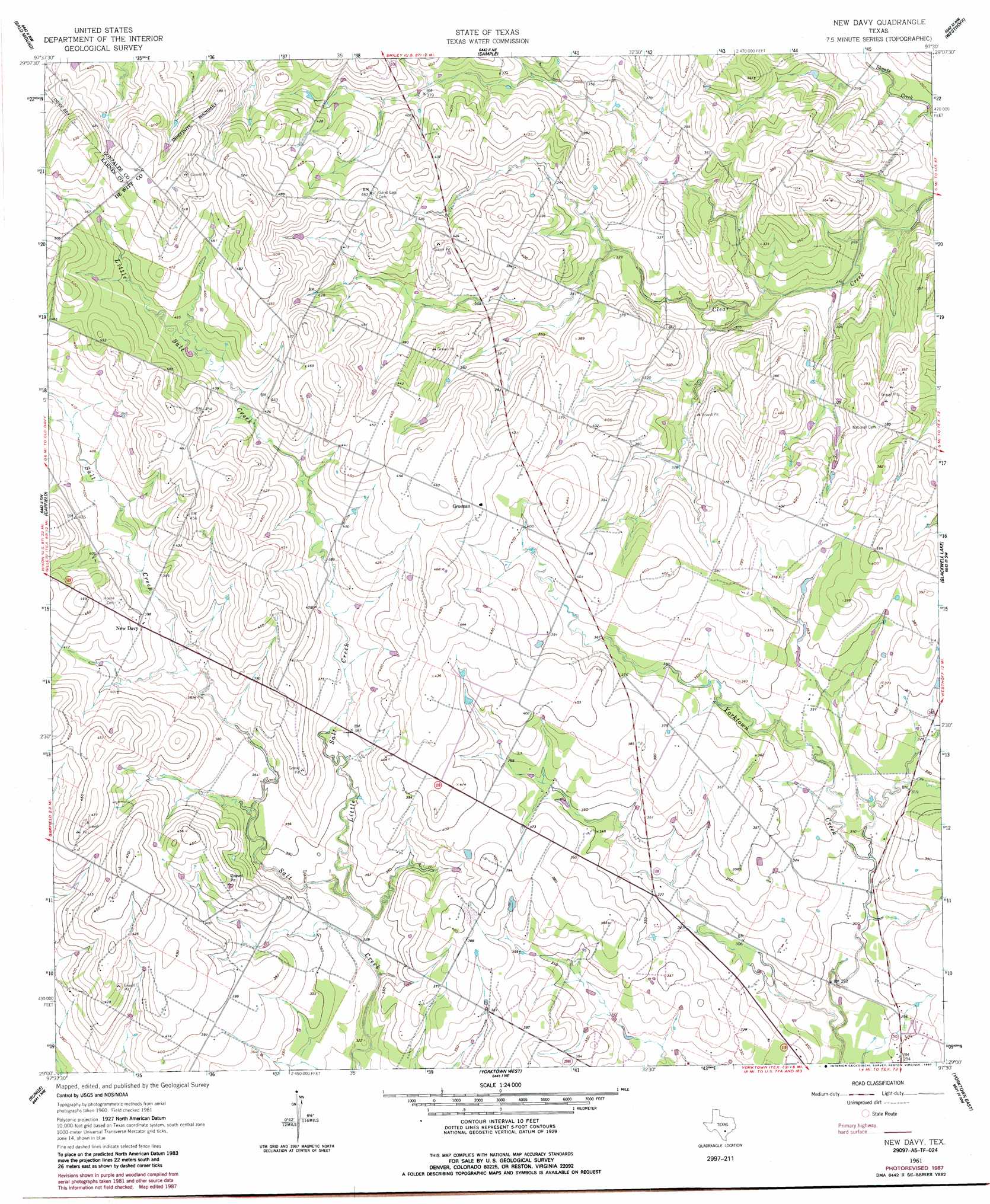
USGS Topo Quad 29097a5 - 1:24,000 scale
| Topo Map Name: | New Davy |
| USGS Topo Quad ID: | 29097a5 |
| Print Size: | ca. 21 1/4" wide x 27" high |
| Southeast Coordinates: | 29° N latitude / 97.5° W longitude |
| Map Center Coordinates: | 29.0625° N latitude / 97.5625° W longitude |
| U.S. State: | TX |
| Filename: | o29097a5.jpg |
| Download Map JPG Image: | New Davy topo map 1:24,000 scale |
| Map Type: | Topographic |
| Topo Series: | 7.5´ |
| Map Scale: | 1:24,000 |
| Source of Map Images: | United States Geological Survey (USGS) |
| Alternate Map Versions: |
New Davy TX 1961, updated 1963 Download PDF Buy paper map New Davy TX 1961, updated 1987 Download PDF Buy paper map New Davy TX 2010 Download PDF Buy paper map New Davy TX 2013 Download PDF Buy paper map New Davy TX 2016 Download PDF Buy paper map |
1:24,000 Topo Quads surrounding New Davy
Nixon |
Smiley |
Pilgrim |
Cheapside |
Hochheim |
Gillett |
Bald Mound |
Sample |
Westhoff |
Concrete |
Ecleto |
Garfield |
New Davy |
Blackwell Lake |
Cuero |
Helena |
Runge |
Yorktown West |
Yorktown East |
Meyersville |
Kenedy |
Choate |
Runge Se |
Weesatche |
Ander |
> Back to 29097a1 at 1:100,000 scale
> Back to 29096a1 at 1:250,000 scale
> Back to U.S. Topo Maps home
New Davy topo map: Gazetteer
New Davy: Populated Places
Gruenau elevation 138m 452′New Davy elevation 122m 400′
New Davy: Streams
Fifteenmile Coleto Creek elevation 82m 269′Little Salt Creek elevation 98m 321′
New Davy digital topo map on disk
Buy this New Davy topo map showing relief, roads, GPS coordinates and other geographical features, as a high-resolution digital map file on DVD: