Kelley Peak Topo Map Texas
To zoom in, hover over the map of Kelley Peak
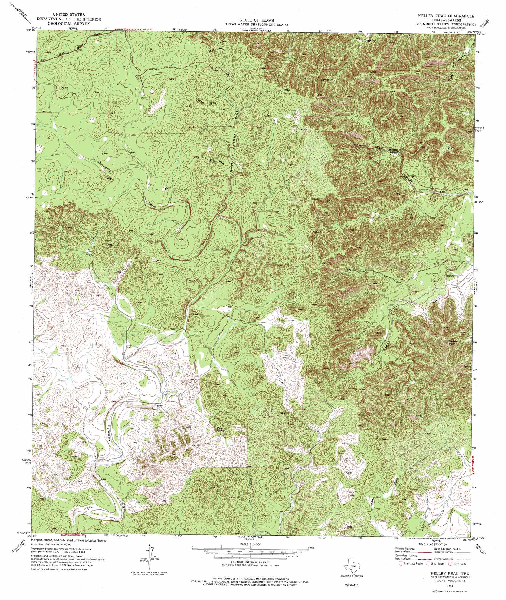
USGS Topo Quad 29100f2 - 1:24,000 scale
| Topo Map Name: | Kelley Peak |
| USGS Topo Quad ID: | 29100f2 |
| Print Size: | ca. 21 1/4" wide x 27" high |
| Southeast Coordinates: | 29.625° N latitude / 100.125° W longitude |
| Map Center Coordinates: | 29.6875° N latitude / 100.1875° W longitude |
| U.S. State: | TX |
| Filename: | o29100f2.jpg |
| Download Map JPG Image: | Kelley Peak topo map 1:24,000 scale |
| Map Type: | Topographic |
| Topo Series: | 7.5´ |
| Map Scale: | 1:24,000 |
| Source of Map Images: | United States Geological Survey (USGS) |
| Alternate Map Versions: |
Kelley Peak TX 1974, updated 1977 Download PDF Buy paper map Kelley Peak TX 2010 Download PDF Buy paper map Kelley Peak TX 2012 Download PDF Buy paper map Kelley Peak TX 2016 Download PDF Buy paper map |
1:24,000 Topo Quads surrounding Kelley Peak
Black Waterhole |
Indian Creek Ne |
Cub Lake |
Hackberry |
Joy Hollow |
Twomile Draw |
Cutting Pen Draw |
Half Moon Prairie |
Vance |
Jo Jan Van Camp |
Wiley Waterhole |
Indian Mountain |
Kelley Peak |
Camp Wood |
Crown Mountain |
Kickapoo Caverns |
Silver Lake |
Bull Waterhole |
Montell |
Lake Creek |
Pinto Mountain |
Brackettville Ne |
Salmon Peak |
Laguna |
Sycamore Mountain |
> Back to 29100e1 at 1:100,000 scale
> Back to 29100a1 at 1:250,000 scale
> Back to U.S. Topo Maps home
Kelley Peak topo map: Gazetteer
Kelley Peak: Springs
Pecan Spring elevation 573m 1879′Winans Spring elevation 522m 1712′
Kelley Peak: Streams
Rough Sycamore Creek elevation 573m 1879′Kelley Peak: Summits
Kelley Peak elevation 680m 2230′Kelley Peak digital topo map on disk
Buy this Kelley Peak topo map showing relief, roads, GPS coordinates and other geographical features, as a high-resolution digital map file on DVD: