Seminole Canyon Topo Map Texas
To zoom in, hover over the map of Seminole Canyon
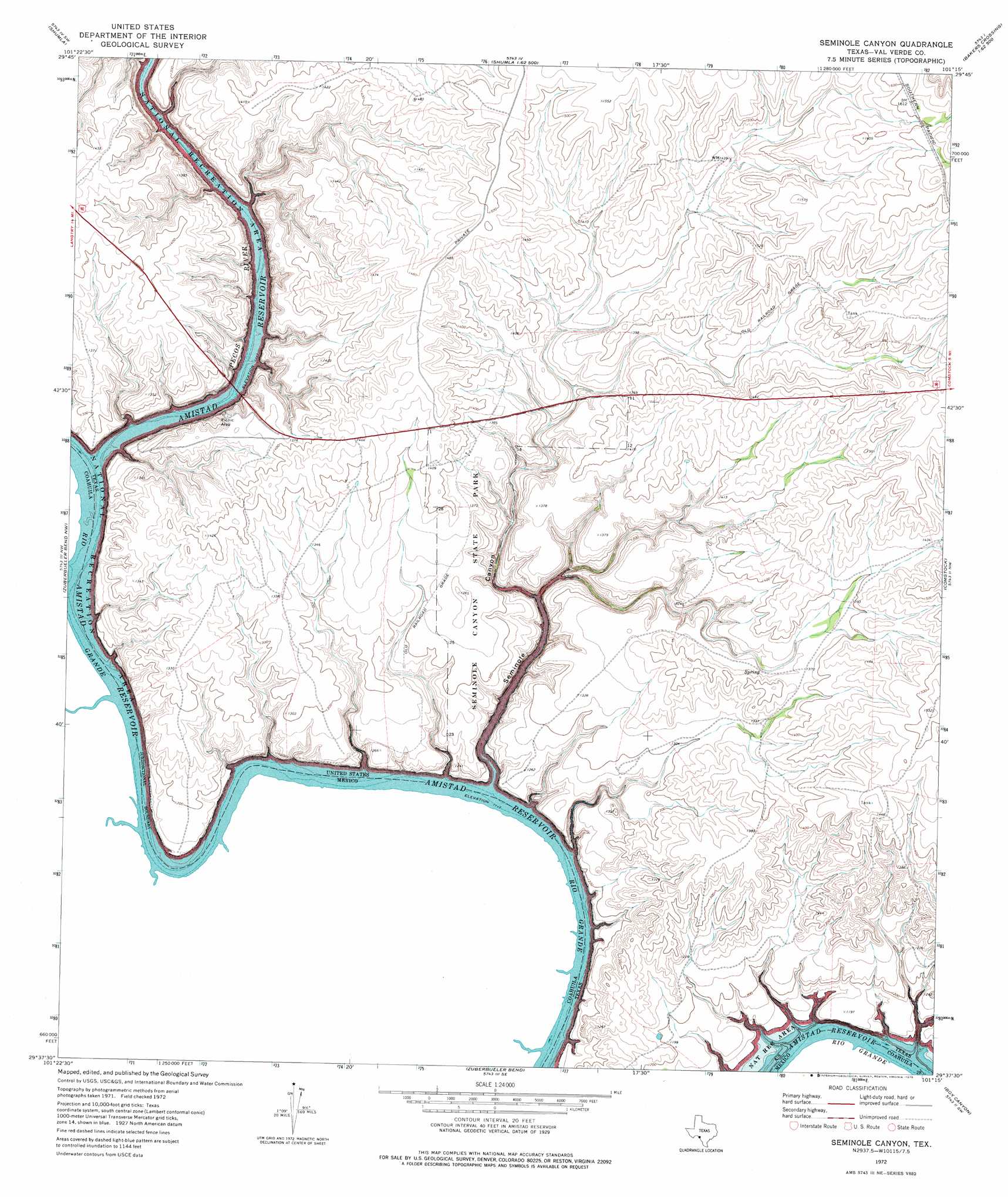
USGS Topo Quad 29101f3 - 1:24,000 scale
| Topo Map Name: | Seminole Canyon |
| USGS Topo Quad ID: | 29101f3 |
| Print Size: | ca. 21 1/4" wide x 27" high |
| Southeast Coordinates: | 29.625° N latitude / 101.25° W longitude |
| Map Center Coordinates: | 29.6875° N latitude / 101.3125° W longitude |
| U.S. State: | TX |
| Filename: | o29101f3.jpg |
| Download Map JPG Image: | Seminole Canyon topo map 1:24,000 scale |
| Map Type: | Topographic |
| Topo Series: | 7.5´ |
| Map Scale: | 1:24,000 |
| Source of Map Images: | United States Geological Survey (USGS) |
| Alternate Map Versions: |
Seminole Canyon TX 1972, updated 1975 Download PDF Buy paper map Seminole Canyon TX 2010 Download PDF Buy paper map Seminole Canyon TX 2013 Download PDF Buy paper map Seminole Canyon TX 2016 Download PDF Buy paper map |
1:24,000 Topo Quads surrounding Seminole Canyon
Harkell Canyon |
Still Canyon |
Mayfield Canyon |
Bakers Crossing |
Telephone Canyon |
Langtry |
Shumla |
Pecos High Bridge |
Dead Mans Pass |
Lechuguilla Creek |
Zuberbueler Bend Nw |
Seminole Canyon |
Comstock |
Gillis Ranch |
|
Zuberbueler Bend |
Box Canyon |
California Creek |
||
Amistad Dam |
> Back to 29101e1 at 1:100,000 scale
> Back to 29100a1 at 1:250,000 scale
> Back to U.S. Topo Maps home
Seminole Canyon topo map: Gazetteer
Seminole Canyon: Bays
Pink Cave Cove elevation 341m 1118′Seminole Canyon: Parks
Seminole Canyon State Historical Park elevation 414m 1358′Seminole Canyon: Streams
Pecos River elevation 341m 1118′Seminole Canyon: Trails
Seminole Canyon State Park Trail elevation 414m 1358′Seminole Canyon: Valleys
Seminole Canyon elevation 341m 1118′Seminole Canyon digital topo map on disk
Buy this Seminole Canyon topo map showing relief, roads, GPS coordinates and other geographical features, as a high-resolution digital map file on DVD: