Lozier Canyon North Topo Map Texas
To zoom in, hover over the map of Lozier Canyon North
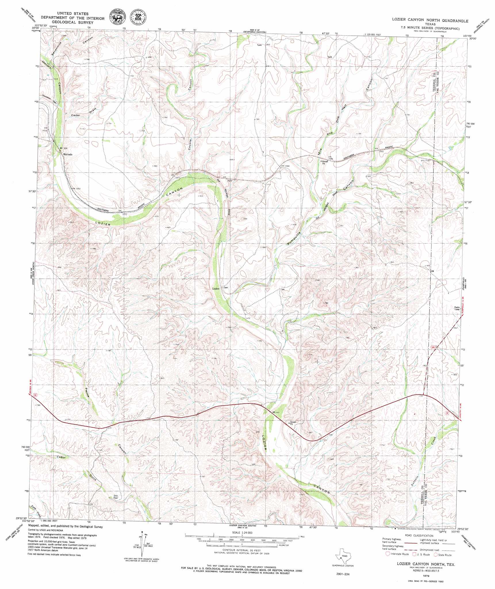
USGS Topo Quad 29101h7 - 1:24,000 scale
| Topo Map Name: | Lozier Canyon North |
| USGS Topo Quad ID: | 29101h7 |
| Print Size: | ca. 21 1/4" wide x 27" high |
| Southeast Coordinates: | 29.875° N latitude / 101.75° W longitude |
| Map Center Coordinates: | 29.9375° N latitude / 101.8125° W longitude |
| U.S. State: | TX |
| Filename: | o29101h7.jpg |
| Download Map JPG Image: | Lozier Canyon North topo map 1:24,000 scale |
| Map Type: | Topographic |
| Topo Series: | 7.5´ |
| Map Scale: | 1:24,000 |
| Source of Map Images: | United States Geological Survey (USGS) |
| Alternate Map Versions: |
Lozier Canyon North TX 1979, updated 1979 Download PDF Buy paper map Lozier Canyon North TX 2010 Download PDF Buy paper map Lozier Canyon North TX 2013 Download PDF Buy paper map Lozier Canyon North TX 2016 Download PDF Buy paper map |
1:24,000 Topo Quads surrounding Lozier Canyon North
Dryden Ne |
Meyers Canyon Nw |
Meyers Canyon Ne |
Hackberry Crossing |
Pandale |
Dryden |
Meyers Canyon |
Sevenmile Canyon |
Roundhill Ranch |
Little Fielder Draw |
Balcon Creek |
Cook Creek North |
Lozier Canyon North |
Pumpville |
Harkell Canyon |
Shafter Canyon |
Cook Creek South |
Lozier Canyon South |
Ramsey Canyon |
Langtry |
> Back to 29101e1 at 1:100,000 scale
> Back to 29100a1 at 1:250,000 scale
> Back to U.S. Topo Maps home
Lozier Canyon North topo map: Gazetteer
Lozier Canyon North: Populated Places
Lozier elevation 458m 1502′Malvado elevation 490m 1607′
Lozier Canyon North: Streams
Cedar Creek elevation 480m 1574′Lozier Canyon North: Valleys
Cedar Draw elevation 485m 1591′Coyote Canyon elevation 466m 1528′
Meyers Canyon elevation 486m 1594′
Mile and One Half Canyon elevation 479m 1571′
Pumpville Canyon elevation 525m 1722′
Sevenmile Canyon elevation 487m 1597′
Thurston Canyon elevation 486m 1594′
Lozier Canyon North digital topo map on disk
Buy this Lozier Canyon North topo map showing relief, roads, GPS coordinates and other geographical features, as a high-resolution digital map file on DVD: