Shafter Canyon Topo Map Texas
To zoom in, hover over the map of Shafter Canyon
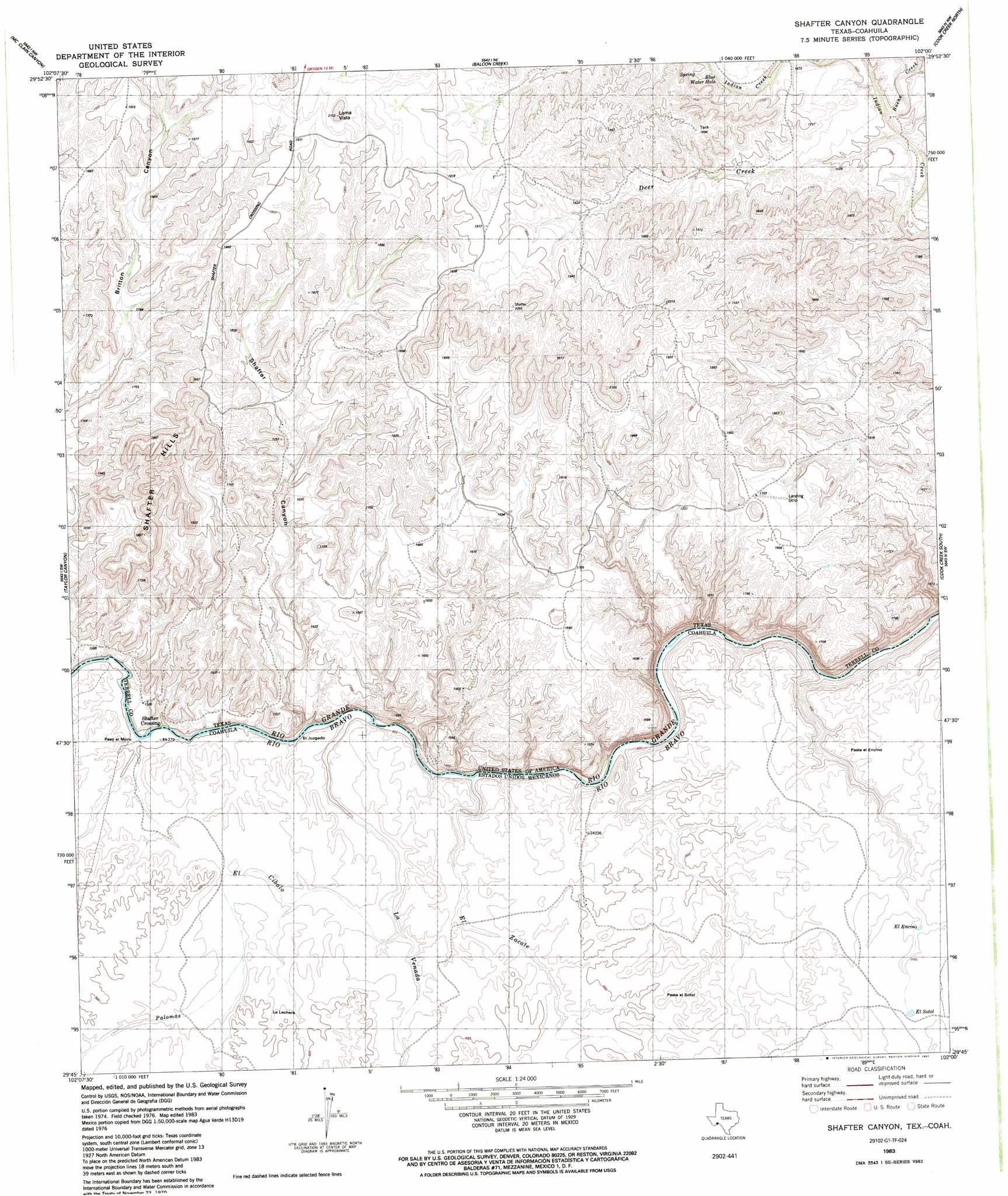
USGS Topo Quad 29102g1 - 1:24,000 scale
| Topo Map Name: | Shafter Canyon |
| USGS Topo Quad ID: | 29102g1 |
| Print Size: | ca. 21 1/4" wide x 27" high |
| Southeast Coordinates: | 29.75° N latitude / 102° W longitude |
| Map Center Coordinates: | 29.8125° N latitude / 102.0625° W longitude |
| U.S. State: | TX |
| Filename: | o29102g1.jpg |
| Download Map JPG Image: | Shafter Canyon topo map 1:24,000 scale |
| Map Type: | Topographic |
| Topo Series: | 7.5´ |
| Map Scale: | 1:24,000 |
| Source of Map Images: | United States Geological Survey (USGS) |
| Alternate Map Versions: |
Shafter Canyon TX 1983, updated 1991 Download PDF Buy paper map Shafter Canyon TX 2010 Download PDF Buy paper map Shafter Canyon TX 2013 Download PDF Buy paper map Shafter Canyon TX 2016 Download PDF Buy paper map |
1:24,000 Topo Quads surrounding Shafter Canyon
Sanderson Se |
Mofeta |
Dryden |
Meyers Canyon |
Sevenmile Canyon |
Candilla Canyon East |
Mcclain Canyon |
Balcon Creek |
Cook Creek North |
Lozier Canyon North |
Panther Gulch East |
Taylor Canyon |
Shafter Canyon |
Cook Creek South |
Lozier Canyon South |
> Back to 29102e1 at 1:100,000 scale
> Back to 29102a1 at 1:250,000 scale
> Back to U.S. Topo Maps home
Shafter Canyon topo map: Gazetteer
Shafter Canyon: Streams
Buena Creek elevation 489m 1604′Shafter Canyon: Summits
Loma Vista elevation 620m 2034′Shafter Hills elevation 589m 1932′
Shafter Canyon: Valleys
Shafter Canyon elevation 427m 1400′Shafter Canyon digital topo map on disk
Buy this Shafter Canyon topo map showing relief, roads, GPS coordinates and other geographical features, as a high-resolution digital map file on DVD: