Horseshoe Mountain Topo Map Texas
To zoom in, hover over the map of Horseshoe Mountain
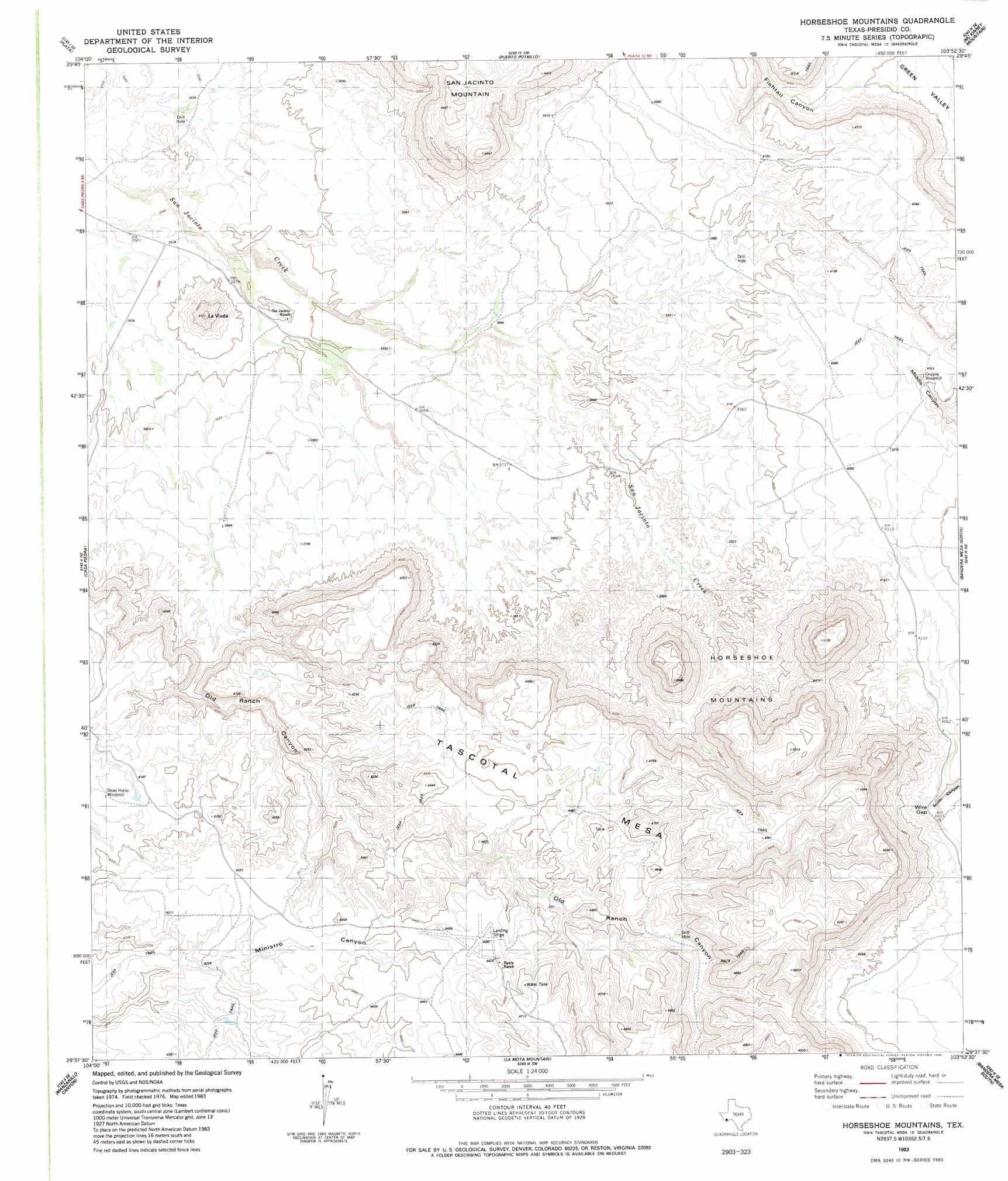
USGS Topo Quad 29103f8 - 1:24,000 scale
| Topo Map Name: | Horseshoe Mountain |
| USGS Topo Quad ID: | 29103f8 |
| Print Size: | ca. 21 1/4" wide x 27" high |
| Southeast Coordinates: | 29.625° N latitude / 103.875° W longitude |
| Map Center Coordinates: | 29.6875° N latitude / 103.9375° W longitude |
| U.S. State: | TX |
| Filename: | o29103f8.jpg |
| Download Map JPG Image: | Horseshoe Mountain topo map 1:24,000 scale |
| Map Type: | Topographic |
| Topo Series: | 7.5´ |
| Map Scale: | 1:24,000 |
| Source of Map Images: | United States Geological Survey (USGS) |
| Alternate Map Versions: |
Horseshoe Mountains TX 1983, updated 1984 Download PDF Buy paper map Horseshoe Mountains TX 2010 Download PDF Buy paper map Horseshoe Mountains TX 2012 Download PDF Buy paper map Horseshoe Mountains TX 2016 Download PDF Buy paper map |
1:24,000 Topo Quads surrounding Horseshoe Mountain
Cerros Priestos |
Plata Ne |
Jordan Gap |
Paradise Draw |
Duff Springs |
Cienaga Mountains |
Plata |
Puerto Potrillo |
Mckinney Mountain |
Straddlebug Mountain |
Alamo Spring |
Casa Piedra |
Horseshoe Mountain |
Bandera Mesa North |
Long Hills |
Cerro Redondo |
Manzanillo Canyon |
La Mota Mountain |
Bandero Mesa South |
Agua Fria Mountain |
Redford |
Agua Adentro Mountain |
Sauceda Ranch |
The Solitario |
Yellow Hill |
> Back to 29103e1 at 1:100,000 scale
> Back to 29102a1 at 1:250,000 scale
> Back to U.S. Topo Maps home
Horseshoe Mountain topo map: Gazetteer
Horseshoe Mountain: Airports
Rawls Ranch Airport elevation 1301m 4268′Horseshoe Mountain: Gaps
Wire Gap elevation 1226m 4022′Horseshoe Mountain: Summits
La Viuda elevation 1229m 4032′Tascotal Mesa elevation 1549m 5082′
Horseshoe Mountain: Valleys
Fishtail Canyon elevation 1173m 3848′Old Ranch Canyon elevation 1123m 3684′
Horseshoe Mountain digital topo map on disk
Buy this Horseshoe Mountain topo map showing relief, roads, GPS coordinates and other geographical features, as a high-resolution digital map file on DVD: