Tarver Topo Map Georgia
To zoom in, hover over the map of Tarver
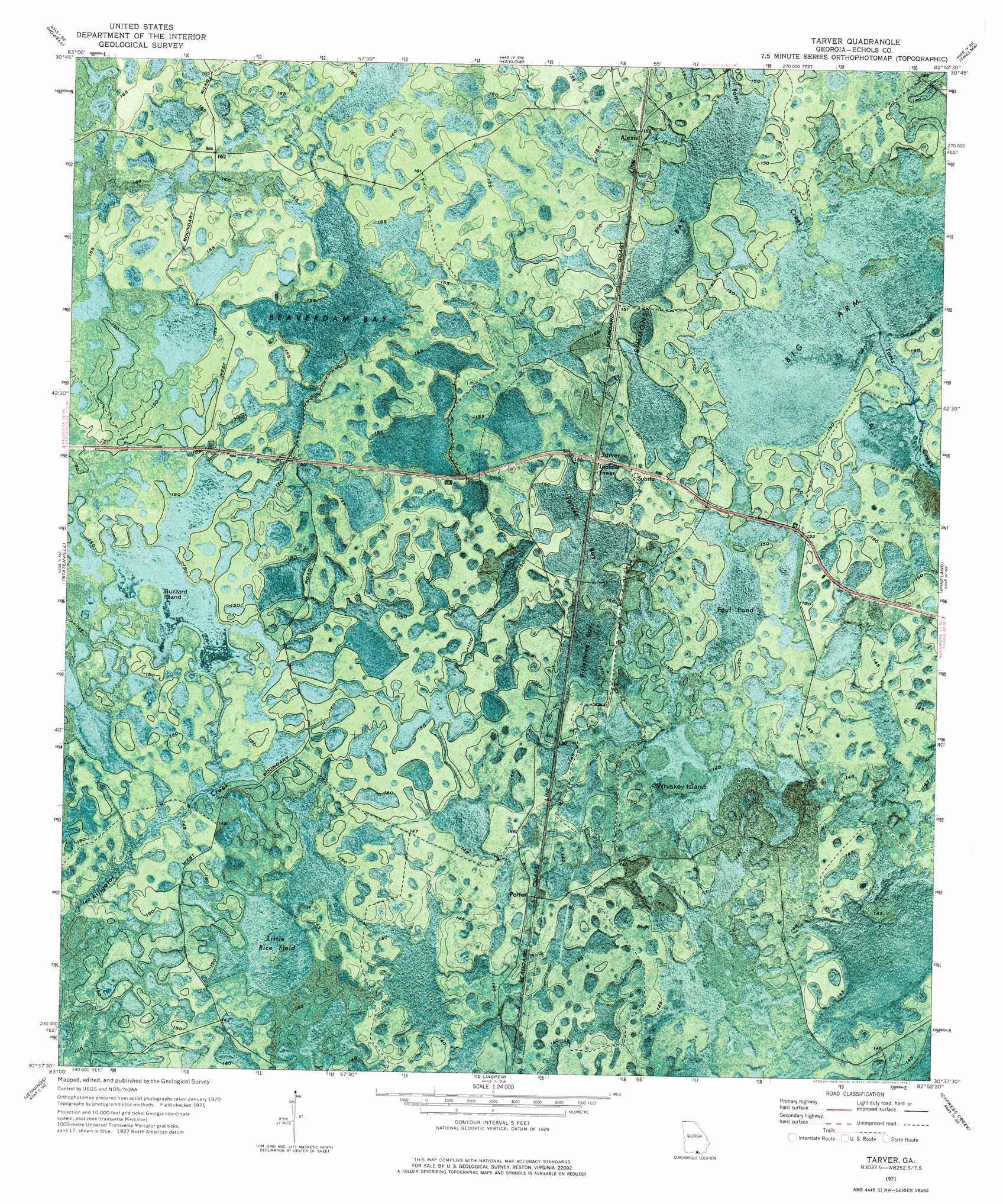
USGS Topo Quad 30082f8 - 1:24,000 scale
| Topo Map Name: | Tarver |
| USGS Topo Quad ID: | 30082f8 |
| Print Size: | ca. 21 1/4" wide x 27" high |
| Southeast Coordinates: | 30.625° N latitude / 82.875° W longitude |
| Map Center Coordinates: | 30.6875° N latitude / 82.9375° W longitude |
| U.S. State: | GA |
| Filename: | p30082f8.jpg |
| Download Map JPG Image: | Tarver topo map 1:24,000 scale |
| Map Type: | Orthophoto |
| Topo Series: | 7.5´ |
| Map Scale: | 1:24,000 |
| Source of Map Images: | United States Geological Survey (USGS) |
| Alternate Map Versions: |
Tarver GA 1971, updated 1976 Download PDF Buy paper map Tarver GA 2011 Download PDF Buy paper map Tarver GA 2014 Download PDF Buy paper map |
1:24,000 Topo Quads surrounding Tarver
Bemiss |
Naylor |
Stockton |
Du Pont |
Midway |
Indianola |
Howell |
Haylow |
Thelma |
Headlight |
Lake Park |
Statenville |
Tarver |
Pineland |
Needmore |
Octahatchee |
Jennings |
Jasper |
Cypress Creek |
Fargo Sw |
Ellaville |
Fort Union |
Hillcoat |
Genoa |
Benton |
> Back to 30082e1 at 1:100,000 scale
> Back to 30082a1 at 1:250,000 scale
> Back to U.S. Topo Maps home
Tarver topo map: Gazetteer
Tarver: Islands
Buzzard Island elevation 45m 147′Whiskey Island elevation 44m 144′
Tarver: Lakes
Foul Pond elevation 45m 147′Tarver: Populated Places
Alexis elevation 47m 154′Potter elevation 44m 144′
Tarver elevation 47m 154′
Tarver: Swamps
Beaverdam Bay elevation 47m 154′Big Arm elevation 45m 147′
Fiftythree Bay elevation 45m 147′
Little Rice Field elevation 43m 141′
Simmons Bay elevation 45m 147′
Tarver Bay elevation 45m 147′
Tarver digital topo map on disk
Buy this Tarver topo map showing relief, roads, GPS coordinates and other geographical features, as a high-resolution digital map file on DVD: