Little Point Clear Topo Map Alabama
To zoom in, hover over the map of Little Point Clear
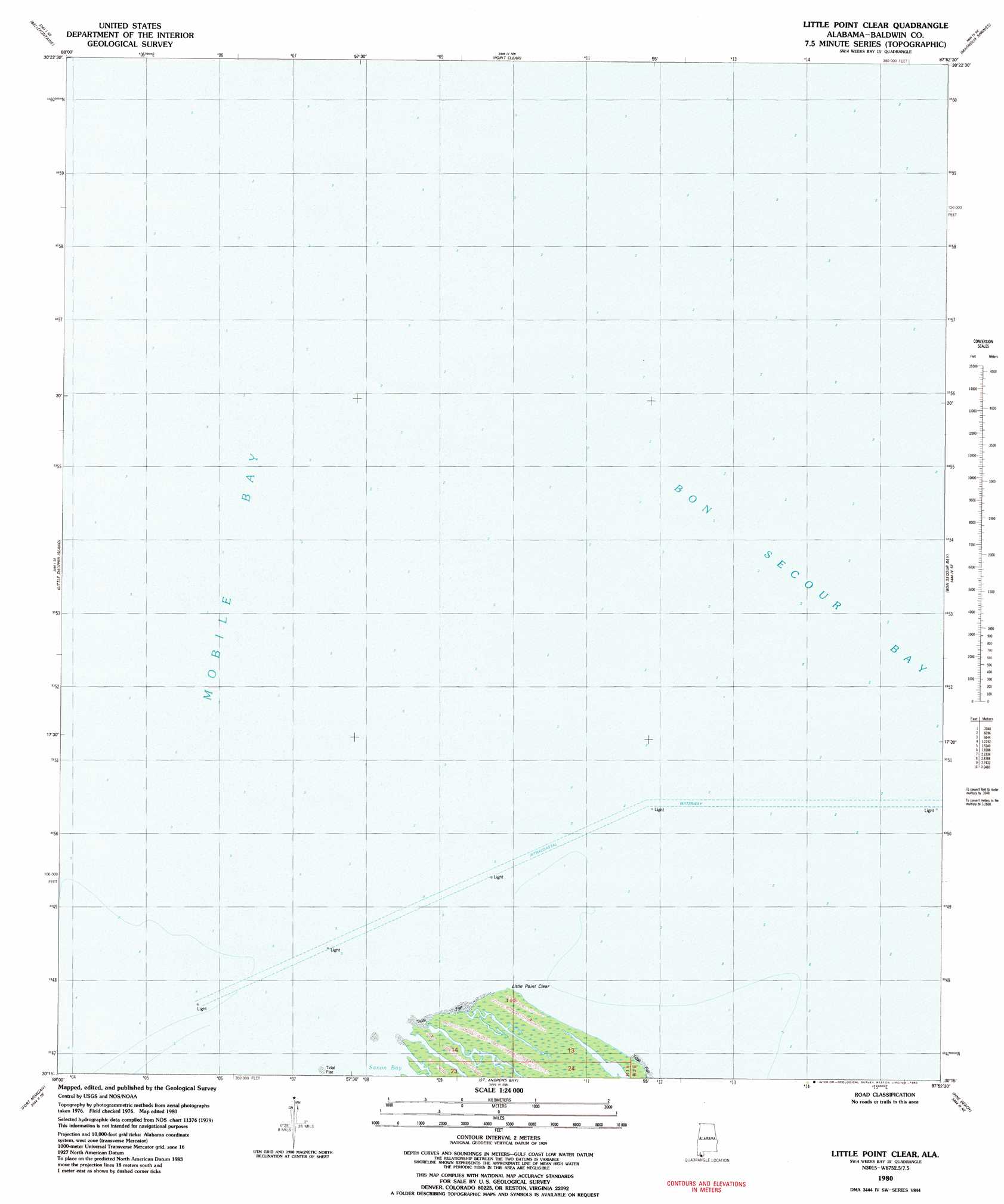
USGS Topo Quad 30087c8 - 1:24,000 scale
| Topo Map Name: | Little Point Clear |
| USGS Topo Quad ID: | 30087c8 |
| Print Size: | ca. 21 1/4" wide x 27" high |
| Southeast Coordinates: | 30.25° N latitude / 87.875° W longitude |
| Map Center Coordinates: | 30.3125° N latitude / 87.9375° W longitude |
| U.S. State: | AL |
| Filename: | o30087c8.jpg |
| Download Map JPG Image: | Little Point Clear topo map 1:24,000 scale |
| Map Type: | Topographic |
| Topo Series: | 7.5´ |
| Map Scale: | 1:24,000 |
| Source of Map Images: | United States Geological Survey (USGS) |
| Alternate Map Versions: |
Little Point Clear AL 1980, updated 1980 Download PDF Buy paper map Little Point Clear AL 2011 Download PDF Buy paper map Little Point Clear AL 2014 Download PDF Buy paper map |
1:24,000 Topo Quads surrounding Little Point Clear
Theodore |
Hollingers Island |
Daphne |
Silverhill |
Robertsdale |
Coden |
Bellefontaine |
Point Clear |
Magnolia Springs |
Foley |
Heron Bay |
Little Dauphin Island |
Little Point Clear |
Bon Secour Bay |
Gulf Shores |
Fort Morgan Nw |
Fort Morgan |
Saint Andrews Bay |
Pine Beach |
|
> Back to 30087a1 at 1:100,000 scale
> Back to 30086a1 at 1:250,000 scale
> Back to U.S. Topo Maps home
Little Point Clear topo map: Gazetteer
Little Point Clear: Bars
Middle Ground elevation 0m 0′Little Point Clear: Bays
Saxon Bay elevation 0m 0′Little Point Clear: Capes
Little Point Clear elevation 0m 0′Little Point Clear digital topo map on disk
Buy this Little Point Clear topo map showing relief, roads, GPS coordinates and other geographical features, as a high-resolution digital map file on DVD:
Gulf Coast (LA, MS, AL, FL) & Southwestern Georgia
Buy digital topo maps: Gulf Coast (LA, MS, AL, FL) & Southwestern Georgia
 & Southwestern Georgia map DVD")